THE ADVENTURE COLLECTIVE® · Independent discovery and booking for outdoor travel

See Darwin from a new angle on a 30-minute helicopter flight that traces Nightcliff cliffs, Casuarina Beach and Hope Inlet. This aerial snapshot highlights coastal geology, mangroves and wildlife while orienting you for on-the-ground exploration.
See Darwin from a new angle on a 30-minute helicopter flight that traces Nightcliff cliffs, Casuarina Beach and Hope Inlet. This aerial snapshot highlights coastal geology, mangroves and wildlife while orienting you for on-the-ground exploration.
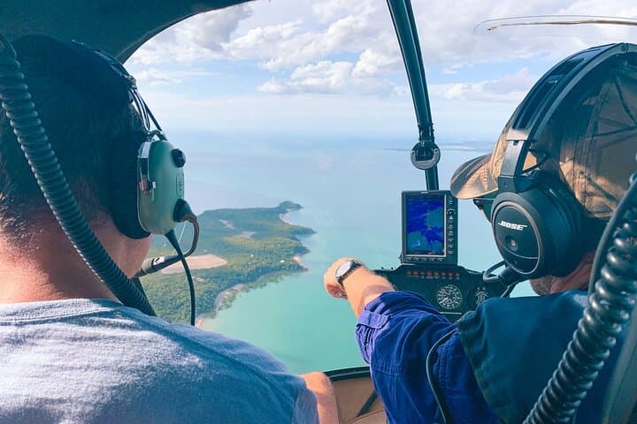
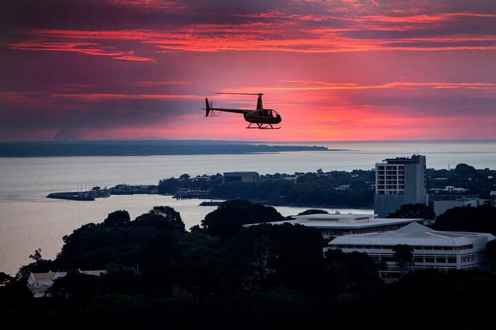
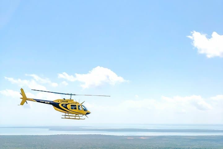
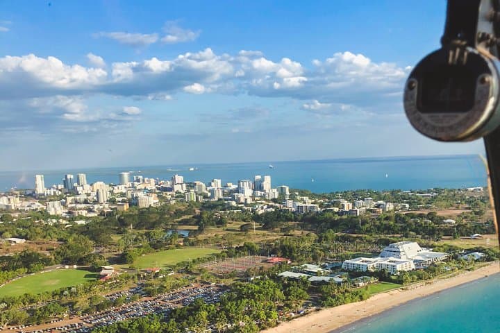
You lift from the small heliport and Darwin unfolds beneath you: the harbour glints, mangrove fringes thread the shoreline, and the cliffs of Nightcliff cut a serrated line against Casuarina Beach. The rotor’s pulse sets the pace as you arc over Hope Inlet, pockets of rainforest give way to tidal flats and scattered reefs — every turn reorients the city and its edge-land to a new geometry.
Verified experiences and guided adventures in the surrounding area.
Operated by Airborne Solutions · Darwin, Northern Territory
You lift from the small heliport and Darwin unfolds beneath you: the harbour glints, mangrove fringes thread the shoreline, and the cliffs of Nightcliff cut a serrated line against Casuarina Beach. The rotor’s pulse sets the pace as you arc over Hope Inlet, pockets of rainforest give way to tidal flats and scattered reefs — every turn reorients the city and its edge-land to a new geometry.
The Larrakia people are the traditional custodians here; the coastline you’ll see has fed communities for millennia. Geologically, the coast is shaped by tidal ranges and storm-driven erosion, producing exposed sandstone platforms and broad mangrove systems that buffer the city. Darwin’s strategic harbour and wartime history add cultural depth: aerial views make clear why this port has been pivotal for trade and defence.
From above you’ll notice seasonal shifts — the dry season lends crisp visibility while the wet season swells creeks and fills inland wetlands. Wildlife shows as flashes: estuarine crocodiles lounging on mudflats and flocks of migratory shorebirds tracing the tides. The tour’s 30 minutes is brief but packed: it’s a reconnaissance that orients future beach walks, fishing trips, or cultural site visits.
Practical notes: tours require a minimum of two people and maximum small loads per flight; operators collect passenger names and weights and may cancel for weather. Arrive early for check-in, secure loose items in the provided headset pockets, and bring sun protection and a camera with a fast shutter — the best photos come from short, predictable windows of light.
easy.
30 minutes.
No special fitness required; passengers should be able to board a helicopter and follow crew instructions.
The flight is 30 minutes and passes over Darwin Harbour, Nightcliff cliffs, Casuarina Beach, Hope Inlet, and coastal mangrove and rainforest patches.
Yes — the operator requires a minimum of two passengers per flight; booking collects passenger weights and full names to meet safety and seating limits.
Flights are cancelled for unsafe weather; the operator will refund or reschedule. Arrive with flexibility on your itinerary, especially during the wet season.
The tour lists wheelchair-accessible facilities at the heliport, but boarding a helicopter may still require assistance — contact the operator in advance to confirm arrangements.
The Darwin harbour area has long been Larrakia country and later became strategically important during WWII; aerial perspective makes the wartime layout and port geography evident.
Mangroves and tidal flats are ecologically sensitive; stick to established paths when you visit and avoid littering — aerial tours should minimize low-altitude disturbance to wildlife.
Airborne Solutions operates guided outdoor trips and adventures with an emphasis on safety, stewardship, and memorable experiences.
You lift from the small heliport and Darwin unfolds beneath you: the harbour glints, mangrove fringes thread the shoreline, and the cliffs of Nightcliff cut a serrated line against Casuarina Beach. The rotor’s pulse sets the pace as you arc over Hope Inlet, pockets of rainforest give way to tidal flats and scattered reefs — every turn reorients the city and its edge-land to a new geometry.
You lift from the small heliport and Darwin unfolds beneath you: the harbour glints, mangrove fringes thread the shoreline, and the cliffs of Nightcliff cut a serrated line against Casuarina Beach. The rotor’s pulse sets the pace as you arc over Hope Inlet, pockets of rainforest give way to tidal flats and scattered reefs — every turn reorients the city and its edge-land to a new geometry.
The Larrakia people are the traditional custodians here; the coastline you’ll see has fed communities for millennia. Geologically, the coast is shaped by tidal ranges and storm-driven erosion, producing exposed sandstone platforms and broad mangrove systems that buffer the city. Darwin’s strategic harbour and wartime history add cultural depth: aerial views make clear why this port has been pivotal for trade and defence.
From above you’ll notice seasonal shifts — the dry season lends crisp visibility while the wet season swells creeks and fills inland wetlands. Wildlife shows as flashes: estuarine crocodiles lounging on mudflats and flocks of migratory shorebirds tracing the tides. The tour’s 30 minutes is brief but packed: it’s a reconnaissance that orients future beach walks, fishing trips, or cultural site visits.
Practical notes: tours require a minimum of two people and maximum small loads per flight; operators collect passenger names and weights and may cancel for weather. Arrive early for check-in, secure loose items in the provided headset pockets, and bring sun protection and a camera with a fast shutter — the best photos come from short, predictable windows of light.