THE ADVENTURE COLLECTIVE® · Independent discovery and booking for outdoor travel

Lift off from Son Tra and see Da Nang from 600 meters: beaches, jungle ridges, and the city grid slide beneath you. This private tandem paragliding flight includes certified pilots, GoPro footage, and a gentle landing on a local beach.
Lift off from Son Tra and see Da Nang from 600 meters: beaches, jungle ridges, and the city grid slide beneath you. This private tandem paragliding flight includes certified pilots, GoPro footage, and a gentle landing on a local beach.
Wind first — a cool sea-breath that pushes the canopy forward and pulls the coastline into focus. From the launch ridge on Son Tra (Monkey Mountain), the city of Da Nang unfurls: a band of beach, a scatter of roofs, and the Han River cutting a bright line inland. In a tandem harness you run a few steps, feel the slope lift you, and the ocean begins to read your altitude.
Verified experiences and guided adventures in the surrounding area.
Operated by Happy Tour · Da Nang, Da Nang
Wind first — a cool sea-breath that pushes the canopy forward and pulls the coastline into focus. From the launch ridge on Son Tra (Monkey Mountain), the city of Da Nang unfurls: a band of beach, a scatter of roofs, and the Han River cutting a bright line inland. In a tandem harness you run a few steps, feel the slope lift you, and the ocean begins to read your altitude.
Son Tra is a volcanic outcrop of weathered basalt and lateritic soils, a green crescent that held wartime observation posts and now protects mixed evergreen forest and rare primates. Flights trace the peninsula’s geology: ridgelines that funnel lift, a jump-off at roughly 600 meters, and a landing on a quiet fishing beach where nets and sampans are still part of daily life. Pilots often point out Linh Ung Pagoda’s white statue and the village below while GoPro footage records the arc.
Practicalities matter: flights are short — around 12–15 minutes airborne inside a roughly 60-minute booking that includes briefing and transfer. Certified instructors fly tandem; little fitness is required beyond following takeoff instructions. Weather rules operations; mornings usually offer calmer thermals and cleaner light for photos. Bring closed-toe shoes, a wind layer, and a sense of ease with heights. Respect the reserve — keep distance from wildlife, listen to pilots, and treat landings at the fishermen’s beach as a cultural encounter rather than a photo stop.
This is an aerial primer on Da Nang: quick, visceral, and rooted in a landscape that keeps both city and sea close at hand.
moderate.
45–75 minutes.
Minimal fitness required — able to run a few steps and follow crew instructions; not suitable for serious spinal conditions
Air time is typically 12–15 minutes; the full booking including briefing and transfers takes about 45–75 minutes.
Yes — flights are tandem with certified pilots and provided safety gear, though anyone with spinal injuries or similar conditions should not participate.
Yes — the operator provides GoPro footage and photos and typically sends files to you right after the flight.
Operators assess wind and rain and will reschedule or refund if conditions are unsafe; check the 24-hour cancellation policy for specifics.
Son Tra has wartime observation posts and old radar sites; in recent decades it shifted toward conservation as part of a protected peninsula reserve.
The peninsula is a nature reserve — avoid approaching or feeding wildlife, stay on designated paths, and support operators who follow local protection rules.
Happy Tour operates guided outdoor trips and adventures with an emphasis on safety, stewardship, and memorable experiences.
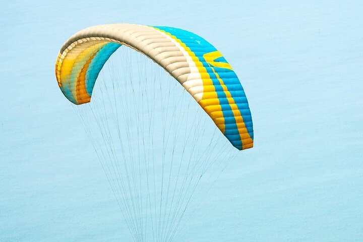
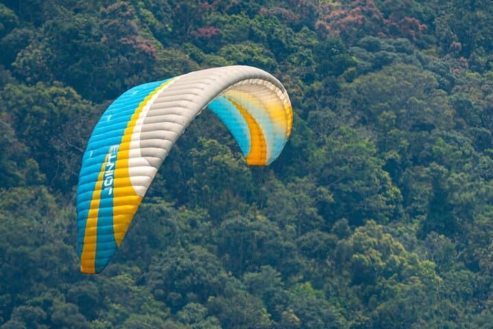
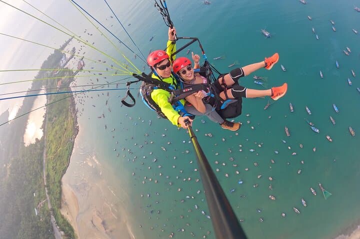
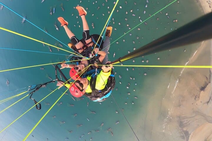
Wind first — a cool sea-breath that pushes the canopy forward and pulls the coastline into focus. From the launch ridge on Son Tra (Monkey Mountain), the city of Da Nang unfurls: a band of beach, a scatter of roofs, and the Han River cutting a bright line inland. In a tandem harness you run a few steps, feel the slope lift you, and the ocean begins to read your altitude.
Wind first — a cool sea-breath that pushes the canopy forward and pulls the coastline into focus. From the launch ridge on Son Tra (Monkey Mountain), the city of Da Nang unfurls: a band of beach, a scatter of roofs, and the Han River cutting a bright line inland. In a tandem harness you run a few steps, feel the slope lift you, and the ocean begins to read your altitude.
Son Tra is a volcanic outcrop of weathered basalt and lateritic soils, a green crescent that held wartime observation posts and now protects mixed evergreen forest and rare primates. Flights trace the peninsula’s geology: ridgelines that funnel lift, a jump-off at roughly 600 meters, and a landing on a quiet fishing beach where nets and sampans are still part of daily life. Pilots often point out Linh Ung Pagoda’s white statue and the village below while GoPro footage records the arc.
Practicalities matter: flights are short — around 12–15 minutes airborne inside a roughly 60-minute booking that includes briefing and transfer. Certified instructors fly tandem; little fitness is required beyond following takeoff instructions. Weather rules operations; mornings usually offer calmer thermals and cleaner light for photos. Bring closed-toe shoes, a wind layer, and a sense of ease with heights. Respect the reserve — keep distance from wildlife, listen to pilots, and treat landings at the fishermen’s beach as a cultural encounter rather than a photo stop.
This is an aerial primer on Da Nang: quick, visceral, and rooted in a landscape that keeps both city and sea close at hand.