THE ADVENTURE COLLECTIVE® · Independent discovery and booking for outdoor travel

Ride a highland road of hairpins and mist to the edge of Bambarakanda Falls. This full-day mountain-biking route offers steep climbs, technical descents, and firsthand views of Sri Lanka’s highest waterfall.
Ride a highland road of hairpins and mist to the edge of Bambarakanda Falls. This full-day mountain-biking route offers steep climbs, technical descents, and firsthand views of Sri Lanka’s highest waterfall.
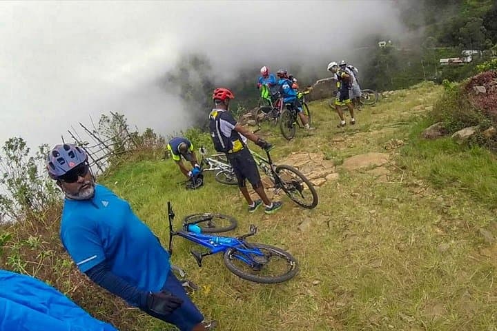
You start on a ridge where mist clings to the pines and the road narrows into a series of carved hairpins. The air is cool, damp with spray from distant falls; below, a curtain of water—Bambarakanda, the country’s tallest cascade—drops into a fern-filled gorge. Pedals turn, breath matches the rise and fall of the trail, and each bend loosens a new view of cloud-scoured ridgelines.
Verified experiences and guided adventures in the surrounding area.
Operated by Lakpura LLC · Bandarawela, Uva Province
You start on a ridge where mist clings to the pines and the road narrows into a series of carved hairpins. The air is cool, damp with spray from distant falls; below, a curtain of water—Bambarakanda, the country’s tallest cascade—drops into a fern-filled gorge. Pedals turn, breath matches the rise and fall of the trail, and each bend loosens a new view of cloud-scoured ridgelines.
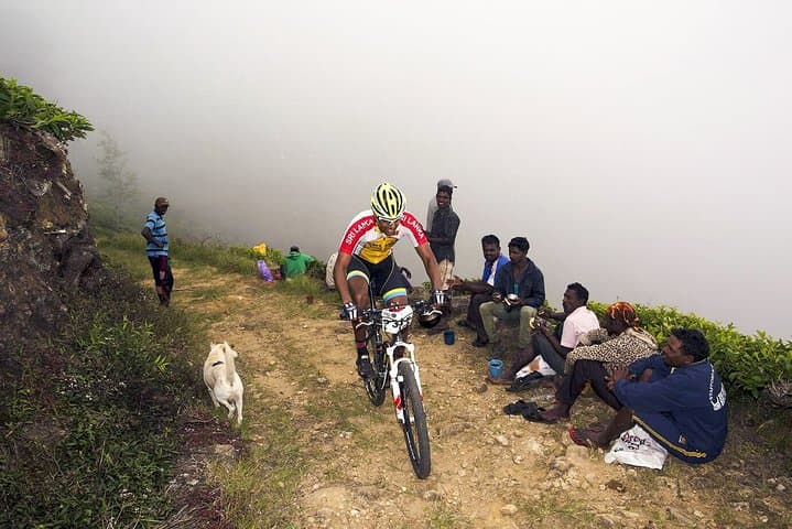
The Devil’s Staircase road earned its name from its abrupt verticality and tight switchbacks cut into the Uva highlands. Geologically this is old uplifted terrain—rocky escarpments feeding clear streams that have sculpted steep valleys. Culturally, the route threads tea-country villages and pine plantations planted during colonial estate expansion; riders pass small shrines and roadside tea kiosks that mark local rhythms.
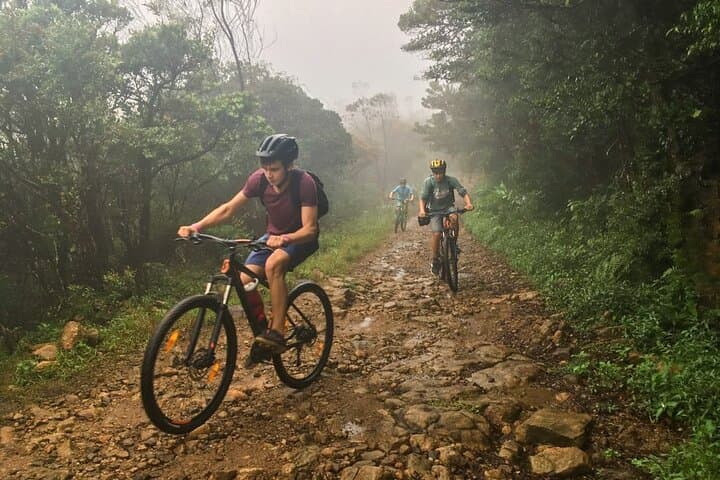
Practically, the route is a mixed ascent and descent: expect several sustained climbs through shaded pine forest to the Horton Plains edge, then a fast, technical descent skirting the Bambarakanda drop. Surfaces shift from paved switchbacks to coarse shoulder and occasional gravel; braking and line choice matter. Weather can change quickly—fog reduces visibility and rain slicks the bends. Tours typically supply a high-end bike, helmet, bottled water, spares and transport back to base, but riders should bring a hydration pack, layered clothing, and a basic repair kit.
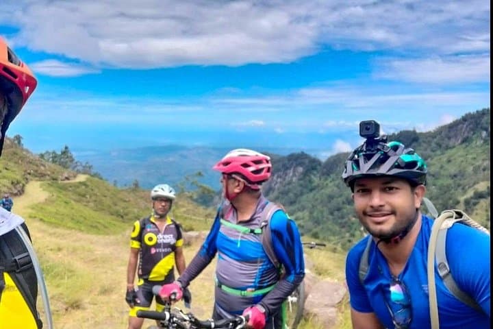
Plan for 5–7 hours including transfers and stops, aim for morning starts to avoid afternoon rain, and ride conservatively on the downhill stretches to protect brakes and local vegetation. The payoff is straightforward: raw highland scenery, a pulse-quickening descent, and a front-row view of Sri Lanka’s tallest waterfall.
challenging.
5–7 hours.
Good aerobic fitness and leg strength for sustained climbs; confidence on technical descents.
Climbs are sustained and steep in sections; riders should be comfortable with multiple long ascents and maintain a steady pacing plan.
Beginners can enjoy parts of the route but should avoid high-speed descents and consider a guided, shorter option or e-bike if available.
Start in the morning to catch clearer skies and firmer road surfaces—afternoon showers and fog are common.
Most operators supply high-end bikes, helmets, bottled water, and basic spares; confirm fit and condition before setting off.
The road traces paths cut during the plantation era when pine and tea were introduced to the highlands; nearby Horton Plains preserves older montane ecosystems.
Stick to established roads and avoid entering fragile stream banks; local guides encourage leaving no trace to protect catchment forests and waterfall health.
Lakpura LLC operates guided outdoor trips and adventures with an emphasis on safety, stewardship, and memorable experiences.
You start on a ridge where mist clings to the pines and the road narrows into a series of carved hairpins. The air is cool, damp with spray from distant falls; below, a curtain of water—Bambarakanda, the country’s tallest cascade—drops into a fern-filled gorge. Pedals turn, breath matches the rise and fall of the trail, and each bend loosens a new view of cloud-scoured ridgelines.
You start on a ridge where mist clings to the pines and the road narrows into a series of carved hairpins. The air is cool, damp with spray from distant falls; below, a curtain of water—Bambarakanda, the country’s tallest cascade—drops into a fern-filled gorge. Pedals turn, breath matches the rise and fall of the trail, and each bend loosens a new view of cloud-scoured ridgelines.
The Devil’s Staircase road earned its name from its abrupt verticality and tight switchbacks cut into the Uva highlands. Geologically this is old uplifted terrain—rocky escarpments feeding clear streams that have sculpted steep valleys. Culturally, the route threads tea-country villages and pine plantations planted during colonial estate expansion; riders pass small shrines and roadside tea kiosks that mark local rhythms.
Practically, the route is a mixed ascent and descent: expect several sustained climbs through shaded pine forest to the Horton Plains edge, then a fast, technical descent skirting the Bambarakanda drop. Surfaces shift from paved switchbacks to coarse shoulder and occasional gravel; braking and line choice matter. Weather can change quickly—fog reduces visibility and rain slicks the bends. Tours typically supply a high-end bike, helmet, bottled water, spares and transport back to base, but riders should bring a hydration pack, layered clothing, and a basic repair kit.
Plan for 5–7 hours including transfers and stops, aim for morning starts to avoid afternoon rain, and ride conservatively on the downhill stretches to protect brakes and local vegetation. The payoff is straightforward: raw highland scenery, a pulse-quickening descent, and a front-row view of Sri Lanka’s tallest waterfall.