THE ADVENTURE COLLECTIVE® · Independent discovery and booking for outdoor travel

Pedal from Inverness along the Caledonia Way to the shores of Loch Ness on a largely traffic‑free, self‑guided day ride. Scenic canal towpaths, quiet country lanes and loch‑side picnic spots make this a practical, memorable Highland outing.
Pedal from Inverness along the Caledonia Way to the shores of Loch Ness on a largely traffic‑free, self‑guided day ride. Scenic canal towpaths, quiet country lanes and loch‑side picnic spots make this a practical, memorable Highland outing.
The ride begins where the River Ness loosens into quiet water and the city’s traffic thins: Bellfield Park, bikes tuned and helmets fitted. Cyclists set off across low bridges and the shaded arches of the Ness Islands, the river daring them onward toward wider skies and the long dark of Loch Ness itself.
Verified experiences and guided adventures in the surrounding area.
Operated by Ticket to Ride - Bike Hire · Inverness, Scotland
The ride begins where the River Ness loosens into quiet water and the city’s traffic thins: Bellfield Park, bikes tuned and helmets fitted. Cyclists set off across low bridges and the shaded arches of the Ness Islands, the river daring them onward toward wider skies and the long dark of Loch Ness itself.
This route follows National Cycle Network Route 78 — the Caledonia Way — and traces corridors cut by human hands and ancient geology: the engineered cuts of the Caledonian Canal built by Thomas Telford in the early 19th century, and the deeper, glacier-scooped basin that holds Loch Ness. Local culture here is equal parts Highland hospitality and storytelling; pubs like the Dores Inn keep pace with riders, and the loch still attracts myth and curiosity.
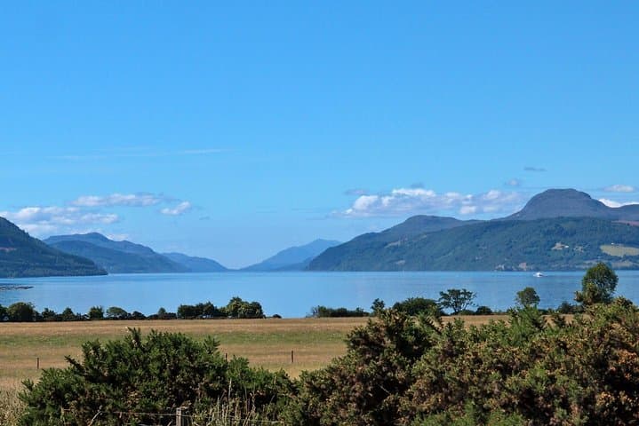
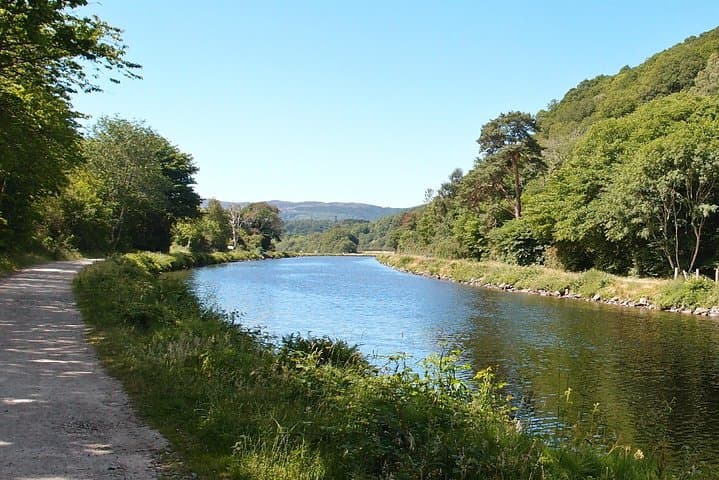
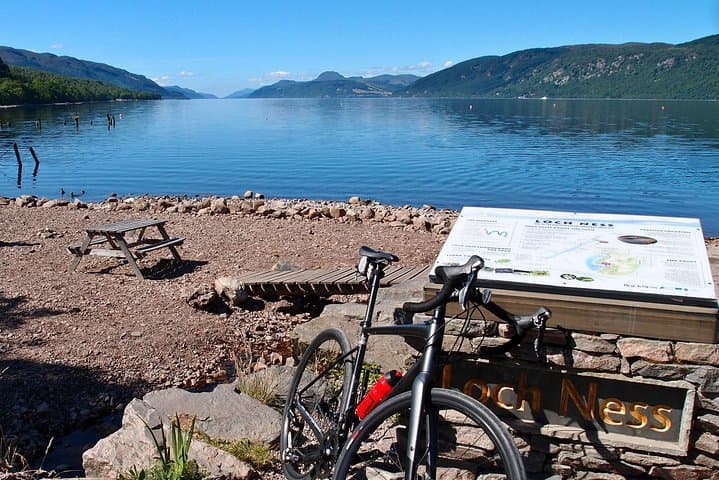
Expect a mix of surfaced cycle paths, quiet country lanes, and towpaths beside the canal. The terrain is mostly rolling with modest climbs; views open at loch-side beaches and picnic spots where the water seems to press against the shore. Wildlife will watch: otters slipping between reeds, red deer on distant slopes.
Practical guidance: plan for a full day with stops — typical self-guided timings range 6–10 hours depending on pace and detours. Carry layered waterproofs, a puncture kit, and snacks; phone signal can be patchy along rural stretches. Follow waymarkers for the Caledonia Way and be prepared to share narrow lanes with local traffic. Return the same route or extend along the canal towpath for extra miles. Ride steady, respect private land, and let the loch set the tempo.
moderate.
6–10 hours.
Comfortable aerobic fitness; able to ride 25–40 miles (40–65 km) in a day with climbs and stops
The direct route to Dores is about 25–30 km (15–19 miles) one way depending on exact start points; allow time for stops and optional detours.
Novice cyclists who are reasonably fit can manage the ride if they take it slowly and stick to shorter out‑and‑back options; some prior cycling experience on roads is helpful.
Yes—helmet use and a water bottle are included; check with the operator about bike types and sizing before booking.
Yes—the Caledonian Canal towpath and surrounding roads allow longer loops for riders with more time and fitness.
The ride skirts the Caledonian Canal, an early 19th‑century engineering project by Thomas Telford; the loch’s deep basin is a remnant of glacial carving.
Stick to signed paths, avoid trampling shoreline vegetation, and carry out all waste—peatland and loch shores are sensitive to erosion and disturbance.
Ticket to Ride - Bike Hire operates guided outdoor trips and adventures with an emphasis on safety, stewardship, and memorable experiences.
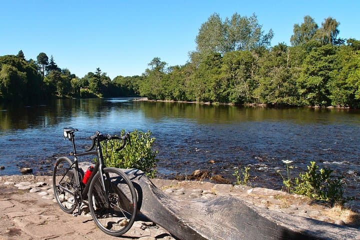
The ride begins where the River Ness loosens into quiet water and the city’s traffic thins: Bellfield Park, bikes tuned and helmets fitted. Cyclists set off across low bridges and the shaded arches of the Ness Islands, the river daring them onward toward wider skies and the long dark of Loch Ness itself.
The ride begins where the River Ness loosens into quiet water and the city’s traffic thins: Bellfield Park, bikes tuned and helmets fitted. Cyclists set off across low bridges and the shaded arches of the Ness Islands, the river daring them onward toward wider skies and the long dark of Loch Ness itself.
This route follows National Cycle Network Route 78 — the Caledonia Way — and traces corridors cut by human hands and ancient geology: the engineered cuts of the Caledonian Canal built by Thomas Telford in the early 19th century, and the deeper, glacier-scooped basin that holds Loch Ness. Local culture here is equal parts Highland hospitality and storytelling; pubs like the Dores Inn keep pace with riders, and the loch still attracts myth and curiosity.
Expect a mix of surfaced cycle paths, quiet country lanes, and towpaths beside the canal. The terrain is mostly rolling with modest climbs; views open at loch-side beaches and picnic spots where the water seems to press against the shore. Wildlife will watch: otters slipping between reeds, red deer on distant slopes.
Practical guidance: plan for a full day with stops — typical self-guided timings range 6–10 hours depending on pace and detours. Carry layered waterproofs, a puncture kit, and snacks; phone signal can be patchy along rural stretches. Follow waymarkers for the Caledonia Way and be prepared to share narrow lanes with local traffic. Return the same route or extend along the canal towpath for extra miles. Ride steady, respect private land, and let the loch set the tempo.