THE ADVENTURE COLLECTIVE® · Independent discovery and booking for outdoor travel

Two days link Quito to Cotopaxi’s high-altitude vistas and Baños’ heated springs and waterfalls. Expect glacier views, a short refuge hike, the Swing at the End of the World, and an accessible mix of high páramo and jungle trails.
Two days link Quito to Cotopaxi’s high-altitude vistas and Baños’ heated springs and waterfalls. Expect glacier views, a short refuge hike, the Swing at the End of the World, and an accessible mix of high páramo and jungle trails.
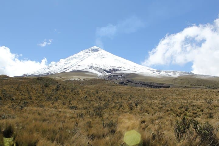
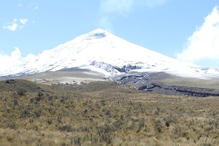
You step from the van into thin, clean air and the cone of Cotopaxi fills the horizon — a near-perfect, snow-capped profile at 5,897 m that seems to watch every turn of the Andean road.
Verified experiences and guided adventures in the surrounding area.
Operated by Ecuador Tour Guide · Baños de Agua Santa, Tungurahua
You step from the van into thin, clean air and the cone of Cotopaxi fills the horizon — a near-perfect, snow-capped profile at 5,897 m that seems to watch every turn of the Andean road.
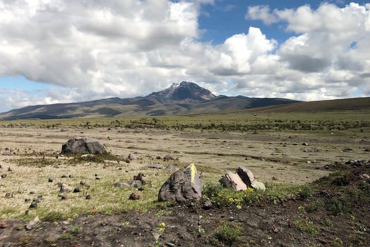
The first day moves through high páramo: Limpiopungo’s glassy lake at 3,800 m, a short acclimatizing walk where Andean gulls and waterfowl pick at shorelines, then up to the park parking (≈4,600 m). If you’re feeling good, a 45-minute hike to José Ribas refuge (4,800 m) rewards you with raw glacier views and a hot chocolate that thaws more than fingers.
Geology here is loud but readable — Cotopaxi’s repeated eruptions shaped the valley systems that channel clouds and rainfall down toward Tungurahua province. Baños, lower down and greener, is loud in a different way: thermal baths, a network of waterfalls on the Ruta de las Cascadas, and the famous Swing at the End of the World overlooking Tungurahua’s active slopes.
Practical notes: this is a logistics-forward overnight with private transport, English guide, and a double-room hotel stay included. Altitude is the real variable — take things slowly the first morning, hydrate, and avoid heavy exertion until you’ve acclimatized. Footwear should handle slick volcanic scree and muddy jungle paths; a light rain shell and layers are essential. Plan for early starts to catch views before clouds obscure the peaks, and leave time in Baños to walk the upper and lower trails at Pailón del Diablo. The route is accessible but expect uneven surfaces, short steep sections, and spectacular, ever-changing Andean weather.
moderate.
2 days.
Moderate fitness recommended — able to walk 30–60 minutes on uneven ground and tolerate short altitude-related breathlessness
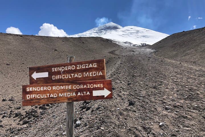
The ascent from the parking area takes about 45 minutes at a steady pace and is mainly exposed, with altitude making it more challenging; go slowly and turn back if you feel severe breathlessness.
The tour includes private transportation, one night accommodation (double room), English-speaking guide, and breakfast as detailed in the itinerary.
The operator lists transportation and some services as wheelchair accessible, but specific trail sections (refuge path, waterfall paths) are uneven and not wheelchair-friendly; infants may require laps or infant seats.
Both volcanoes are active; Cotopaxi’s most visible presence is its snow cone and fumarolic history, while Tungurahua can show steam and ash at times — observe from safe, designated viewpoints and follow guide instructions.
Cotopaxi has a long eruptive history that shaped local settlement patterns; Baños developed around hot springs long used by local communities for bathing and healing.
Cotopaxi National Park manages trails and access to reduce erosion and protect fragile páramo; stick to marked routes, avoid disturbing wildlife, and support local services to keep tourism sustainable.
Ecuador Tour Guide operates guided outdoor trips and adventures with an emphasis on safety, stewardship, and memorable experiences.
You step from the van into thin, clean air and the cone of Cotopaxi fills the horizon — a near-perfect, snow-capped profile at 5,897 m that seems to watch every turn of the Andean road.
You step from the van into thin, clean air and the cone of Cotopaxi fills the horizon — a near-perfect, snow-capped profile at 5,897 m that seems to watch every turn of the Andean road.
The first day moves through high páramo: Limpiopungo’s glassy lake at 3,800 m, a short acclimatizing walk where Andean gulls and waterfowl pick at shorelines, then up to the park parking (≈4,600 m). If you’re feeling good, a 45-minute hike to José Ribas refuge (4,800 m) rewards you with raw glacier views and a hot chocolate that thaws more than fingers.
Geology here is loud but readable — Cotopaxi’s repeated eruptions shaped the valley systems that channel clouds and rainfall down toward Tungurahua province. Baños, lower down and greener, is loud in a different way: thermal baths, a network of waterfalls on the Ruta de las Cascadas, and the famous Swing at the End of the World overlooking Tungurahua’s active slopes.
Practical notes: this is a logistics-forward overnight with private transport, English guide, and a double-room hotel stay included. Altitude is the real variable — take things slowly the first morning, hydrate, and avoid heavy exertion until you’ve acclimatized. Footwear should handle slick volcanic scree and muddy jungle paths; a light rain shell and layers are essential. Plan for early starts to catch views before clouds obscure the peaks, and leave time in Baños to walk the upper and lower trails at Pailón del Diablo. The route is accessible but expect uneven surfaces, short steep sections, and spectacular, ever-changing Andean weather.