THE ADVENTURE COLLECTIVE® · Independent discovery and booking for outdoor travel

Turn your drive between Kamloops and Vancouver into a narrated exploration of mountains, rivers and local history. This GPS-guided audio tour delivers 28 interpretive stops, offline playback and flexible pacing for scenic detours.
Turn your drive between Kamloops and Vancouver into a narrated exploration of mountains, rivers and local history. This GPS-guided audio tour delivers 28 interpretive stops, offline playback and flexible pacing for scenic detours.
You pull onto the highway and the playlist is replaced by a voice that knows these mountains. Window down, pines sliding past, the Coquihalla’s basalt cuts and the Fraser River’s edge set the pace as an audio host cues stories, geological notes and local voices.
Verified experiences and guided adventures in the surrounding area.
Operated by Tripvia Tours · Kamloops, British Columbia
You pull onto the highway and the playlist is replaced by a voice that knows these mountains. Window down, pines sliding past, the Coquihalla’s basalt cuts and the Fraser River’s edge set the pace as an audio host cues stories, geological notes and local voices.
This route traces an ancient corridor carved by ice and river: the Thompson and Fraser valleys reveal glacial outwash, dramatic canyon walls and the scar of the Hope Slide. Indigenous layers are everywhere — the Coast Salish and Secwepemc peoples stewarded these waterways, trails and fisheries for millennia, and settler-era rail and highway projects later reshaped access and land use. Small towns like Hope and Chilliwack grew around rivers, timber and the railway; Harrison Hot Springs owes its name to thermal springs deposited by deeper geology.
The tour’s 28 audio points highlight provincial parks, old trestles, salmon runs and roadside viewpoints. Expect interpretive stops about steelhead and sockeye runs, marmots on sunny ledges, and why the Coquihalla tunnel systems were engineered where they are.
Practical guidance: this is a self-paced, in-car experience — one booking covers a vehicle and the app works offline, so download before you leave cell coverage. Plan fuel and restroom breaks (services are sparse over long stretches), allow extra time if you want to detour to Bridal Veil Falls or Coquihalla Canyon Provincial Park, and never stop on narrow shoulders. Bring a reliable phone mount, spare charger and weather layers; mountain passes can shift from sun to wind quickly. Drive attentively — the landscape invites stopping, but wildlife and safety come first.
easy.
1–2 hours.
Minimal physical effort required—this is a driving tour; short walks at pullouts may involve stairs or uneven ground.
No—the tour supports offline functionality; download the audio and map before you leave Wi‑Fi to ensure uninterrupted playback.
One booking licenses the tour per vehicle, so everyone riding in the car can listen from the same device.
Yes—this is self-paced. The audio recommends points of interest; always use designated pullouts or parking areas for stops.
The tour app and driving route are wheelchair accessible, but individual pullouts and attractions may have varying accessibility—check specific sites before visiting.
The corridor follows routes used by Indigenous peoples and later by the Canadian Pacific Railway and highway builders; Hope Slide (1965) remains a notable geological event in the region.
Stay in designated parking areas and avoid roadside browsing to protect sensitive riparian zones and salmon spawning habitat; follow local wildlife viewing guidelines.
Tripvia Tours operates guided outdoor trips and adventures with an emphasis on safety, stewardship, and memorable experiences.
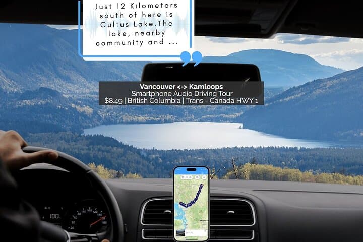
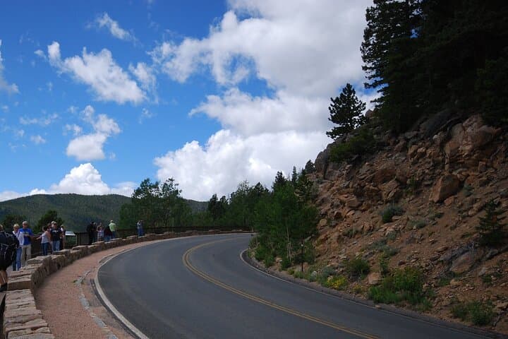
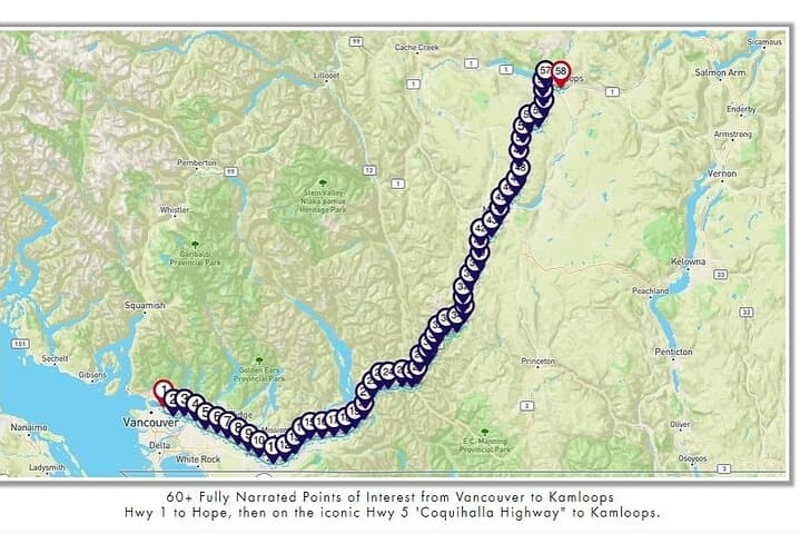

You pull onto the highway and the playlist is replaced by a voice that knows these mountains. Window down, pines sliding past, the Coquihalla’s basalt cuts and the Fraser River’s edge set the pace as an audio host cues stories, geological notes and local voices.
You pull onto the highway and the playlist is replaced by a voice that knows these mountains. Window down, pines sliding past, the Coquihalla’s basalt cuts and the Fraser River’s edge set the pace as an audio host cues stories, geological notes and local voices.
This route traces an ancient corridor carved by ice and river: the Thompson and Fraser valleys reveal glacial outwash, dramatic canyon walls and the scar of the Hope Slide. Indigenous layers are everywhere — the Coast Salish and Secwepemc peoples stewarded these waterways, trails and fisheries for millennia, and settler-era rail and highway projects later reshaped access and land use. Small towns like Hope and Chilliwack grew around rivers, timber and the railway; Harrison Hot Springs owes its name to thermal springs deposited by deeper geology.
The tour’s 28 audio points highlight provincial parks, old trestles, salmon runs and roadside viewpoints. Expect interpretive stops about steelhead and sockeye runs, marmots on sunny ledges, and why the Coquihalla tunnel systems were engineered where they are.
Practical guidance: this is a self-paced, in-car experience — one booking covers a vehicle and the app works offline, so download before you leave cell coverage. Plan fuel and restroom breaks (services are sparse over long stretches), allow extra time if you want to detour to Bridal Veil Falls or Coquihalla Canyon Provincial Park, and never stop on narrow shoulders. Bring a reliable phone mount, spare charger and weather layers; mountain passes can shift from sun to wind quickly. Drive attentively — the landscape invites stopping, but wildlife and safety come first.