THE ADVENTURE COLLECTIVE® · Independent discovery and booking for outdoor travel

Walk through rhododendron forests and yak pastures to Kyanjin Gompa, with panoramic views of Langtang Lirung and neighboring peaks. This 9–10 day trek combines cultural villages, high alpine meadows, and accessible Himalayan panoramas—ideal for hikers with moderate fitness and a taste for remote mountain life.
Walk through rhododendron forests and yak pastures to Kyanjin Gompa, with panoramic views of Langtang Lirung and neighboring peaks. This 9–10 day trek combines cultural villages, high alpine meadows, and accessible Himalayan panoramas—ideal for hikers with moderate fitness and a taste for remote mountain life.
A thin ribbon of dust becomes a road, and the Kathmandu Valley falls away as you drive north toward Syabrubesi. The trail climbs into shadowed forests of rhododendron and magnolia, opens into yak-grazed meadows and finally exposes a bowl of glaciers and jagged ridgelines around Kyanjin Gompa. At dawn the peaks—Langtang Lirung, Ganesh and Dorji Lakpa—cut a hard horizon; by afternoon clouds sculpt light across the valley and the rivers dare you to follow their channels downstream.
Verified experiences and guided adventures in the surrounding area.
Operated by Mount Face Nepal · Syabrubesi, Bagmati Province
A thin ribbon of dust becomes a road, and the Kathmandu Valley falls away as you drive north toward Syabrubesi. The trail climbs into shadowed forests of rhododendron and magnolia, opens into yak-grazed meadows and finally exposes a bowl of glaciers and jagged ridgelines around Kyanjin Gompa. At dawn the peaks—Langtang Lirung, Ganesh and Dorji Lakpa—cut a hard horizon; by afternoon clouds sculpt light across the valley and the rivers dare you to follow their channels downstream.
Langtang has long been home to Tamang and Bhote communities; their stone teahouses and prayer flags reflect centuries of Himalayan life. The 2015 earthquake changed villages and livelihoods here, and many trails and settlements have been rebuilt with community-led efforts. Geologically the valley is a classic glacial trough—steep walls, moraines and alpine basins—offering both close-up glacial features and long viewpoints toward Tibet and the Manaslu range.
Practically, the route is a 9–10 day loop from Kathmandu with a long drive to Syabrubesi, incremental altitude gain to Kyanjin (≈3,870 m) and single-day hikes to viewpoints like Kyanjin Ri. Expect 4–7 hour trekking days on uneven stone steps and forest tracks; acclimatize with rest days and hydrate. Permits (TIMS and restricted-area permissions), a licensed guide, and the option of a porter are standard. Best travel windows are spring and autumn for clear views; winter offers solitude but cold, and monsoon brings slipperiness and lower visibility. Bring sturdy boots, layered clothing and a plan for altitude. The Langtang Valley offers direct mountain exposure without long approaches—raw, walkable Himalayan terrain with culture and wildlife at every bend.
moderate.
9–10 days.
You should be able to hike 4–7 hours per day on uneven terrain and tolerate gradual altitude gain; good cardiovascular base and leg strength recommended.
Yes—TIMS and restricted-area permits are required and a licensed guide is standard; operators typically arrange these before departure.
Kyanjin Gompa reaches about 3,870 m; with gradual ascent and at least one rest/hike day most trekkers manage, but be prepared for mild altitude symptoms and communicate any concerns to your guide.
Spring (March–May) and autumn (September–November) offer the clearest views and stable weather; monsoon can be wet and winter very cold.
Yes—local porters are commonly provided by outfitters to carry bags so trekkers can move light during daily hikes.
The Langtang region is historically Tamang-Bhote country; trade and Buddhist monasteries shaped the valley long before trekking developed. The 2015 earthquake heavily impacted villages, leading to community-led rebuilding.
Langtang lies within a national park—stick to trails, minimize waste, and use local lodges to support recovery and sustainable livelihoods.
Mount Face Nepal operates guided outdoor trips and adventures with an emphasis on safety, stewardship, and memorable experiences.
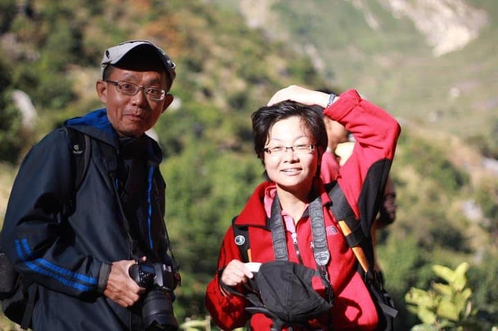

A thin ribbon of dust becomes a road, and the Kathmandu Valley falls away as you drive north toward Syabrubesi. The trail climbs into shadowed forests of rhododendron and magnolia, opens into yak-grazed meadows and finally exposes a bowl of glaciers and jagged ridgelines around Kyanjin Gompa. At dawn the peaks—Langtang Lirung, Ganesh and Dorji Lakpa—cut a hard horizon; by afternoon clouds sculpt light across the valley and the rivers dare you to follow their channels downstream.
A thin ribbon of dust becomes a road, and the Kathmandu Valley falls away as you drive north toward Syabrubesi. The trail climbs into shadowed forests of rhododendron and magnolia, opens into yak-grazed meadows and finally exposes a bowl of glaciers and jagged ridgelines around Kyanjin Gompa. At dawn the peaks—Langtang Lirung, Ganesh and Dorji Lakpa—cut a hard horizon; by afternoon clouds sculpt light across the valley and the rivers dare you to follow their channels downstream.
Langtang has long been home to Tamang and Bhote communities; their stone teahouses and prayer flags reflect centuries of Himalayan life. The 2015 earthquake changed villages and livelihoods here, and many trails and settlements have been rebuilt with community-led efforts. Geologically the valley is a classic glacial trough—steep walls, moraines and alpine basins—offering both close-up glacial features and long viewpoints toward Tibet and the Manaslu range.
Practically, the route is a 9–10 day loop from Kathmandu with a long drive to Syabrubesi, incremental altitude gain to Kyanjin (≈3,870 m) and single-day hikes to viewpoints like Kyanjin Ri. Expect 4–7 hour trekking days on uneven stone steps and forest tracks; acclimatize with rest days and hydrate. Permits (TIMS and restricted-area permissions), a licensed guide, and the option of a porter are standard. Best travel windows are spring and autumn for clear views; winter offers solitude but cold, and monsoon brings slipperiness and lower visibility. Bring sturdy boots, layered clothing and a plan for altitude. The Langtang Valley offers direct mountain exposure without long approaches—raw, walkable Himalayan terrain with culture and wildlife at every bend.