THE ADVENTURE COLLECTIVE® · Independent discovery and booking for outdoor travel

Walk a 3 km cloud-forest loop in Juan Castro Blanco National Park and stand where Costa Rica’s northern rivers begin. This guided hike blends birdwatching — including seasonal Quetzal sightings — with lessons on the park’s role as a vital watershed.
Walk a 3 km cloud-forest loop in Juan Castro Blanco National Park and stand where Costa Rica’s northern rivers begin. This guided hike blends birdwatching — including seasonal Quetzal sightings — with lessons on the park’s role as a vital watershed.
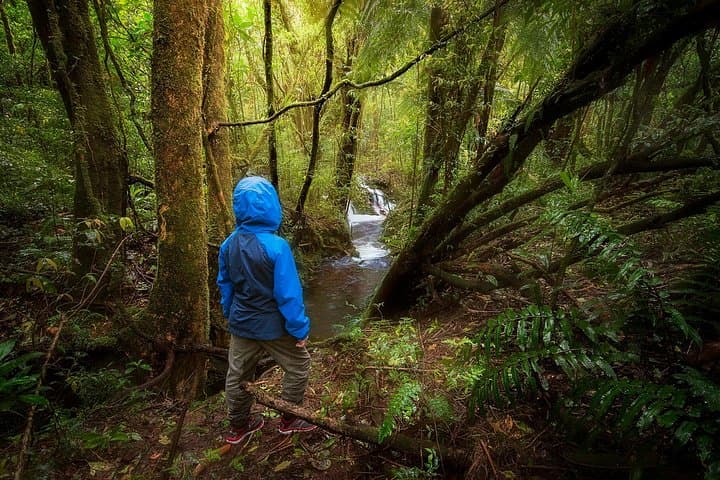
A thin mist hangs in the canopy as the group moves uphill, droplets clinging to moss and spiderwebs. At 2,000 meters the air tastes cool and clean; the trail weaves through stunted trees and epiphytes while the forest seems to lean in, watching each step.
Verified experiences and guided adventures in the surrounding area.
Operated by Ecoterra Expeditions · La Fortuna, Alajuela
A thin mist hangs in the canopy as the group moves uphill, droplets clinging to moss and spiderwebs. At 2,000 meters the air tastes cool and clean; the trail weaves through stunted trees and epiphytes while the forest seems to lean in, watching each step.
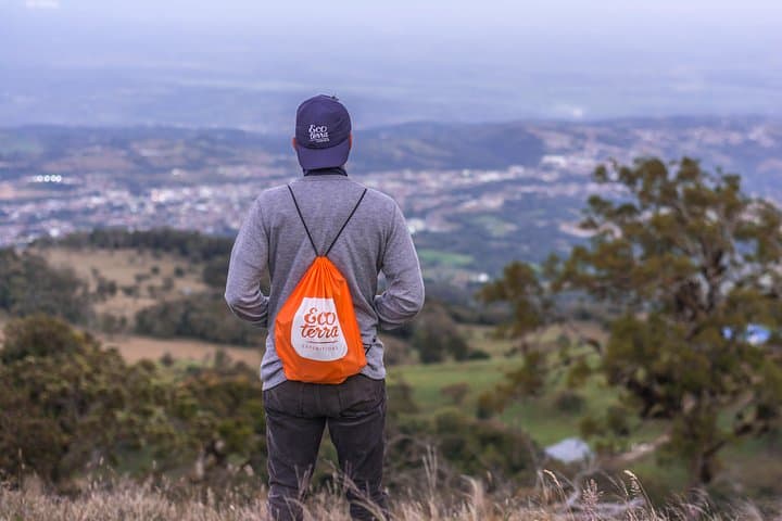
Juan Castro Blanco National Park protects one of Costa Rica’s key northern watersheds — the source zone for rivers that feed the plains of San Carlos. Geologically the area is a high-elevation plateau carved by volcanic soils and persistent cloud cover; that combination creates the saturated, moss-draped environment that defines cloud forest. Culturally the park is valued by nearby communities for clean water and agroforestry resources, and guides often point out how local land use shaped current access routes.
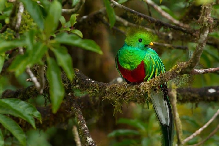
Expect concentrated bird activity: Quetzals are the region’s headline species, most frequently seen in March and April, while toucans and hummingbirds flit through the understory. The hike itself follows a compact 3 km (2 mi.) loop with short, sometimes steep sections and roots that demand attention.
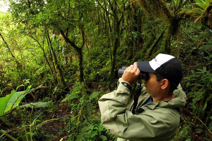
Practical guidance: arrive layered for temperatures around 16–22°C (60–72°F), carry rain protection, and use good treaded shoes — trails get slick. Guides provide water, snacks, and a mid-forest lunch; plan on a 6–8 hour outing including transfers from La Fortuna. Respect quiet viewing for birds, stay on marked paths to protect fragile moss and headwater springs, and bring binoculars for the best wildlife snapshots.
moderate.
6–8 hours.
Moderately fit: comfortable walking 2 miles on uneven, sometimes steep ground and managing altitude-related exertion.
The trail loop is about 3 km (2 miles) and takes roughly 2 hours; total tour time including transfers, guiding, and lunch is approximately 6–8 hours.
Quetzals are most commonly observed in March and April during local breeding and display activity—early morning searches improve chances.
Minimum recommended age is 8; children who can handle uneven terrain and short climbs can usually participate, but the operator advises caution.
Yes—professional naturalist guides lead the hike, and the tour includes bottled water, energizing snacks, and a mid-forest lunch.
The park was established to protect high-elevation forests and critical watersheds supplying the northern plains; its protection reflects regional priorities in water security and biodiversity.
Trails protect fragile soil and headwaters—stay on the path, pack out trash, and avoid disturbing nesting birds to minimize impact.
Ecoterra Expeditions operates guided outdoor trips and adventures with an emphasis on safety, stewardship, and memorable experiences.
A thin mist hangs in the canopy as the group moves uphill, droplets clinging to moss and spiderwebs. At 2,000 meters the air tastes cool and clean; the trail weaves through stunted trees and epiphytes while the forest seems to lean in, watching each step.
A thin mist hangs in the canopy as the group moves uphill, droplets clinging to moss and spiderwebs. At 2,000 meters the air tastes cool and clean; the trail weaves through stunted trees and epiphytes while the forest seems to lean in, watching each step.
Juan Castro Blanco National Park protects one of Costa Rica’s key northern watersheds — the source zone for rivers that feed the plains of San Carlos. Geologically the area is a high-elevation plateau carved by volcanic soils and persistent cloud cover; that combination creates the saturated, moss-draped environment that defines cloud forest. Culturally the park is valued by nearby communities for clean water and agroforestry resources, and guides often point out how local land use shaped current access routes.
Expect concentrated bird activity: Quetzals are the region’s headline species, most frequently seen in March and April, while toucans and hummingbirds flit through the understory. The hike itself follows a compact 3 km (2 mi.) loop with short, sometimes steep sections and roots that demand attention.
Practical guidance: arrive layered for temperatures around 16–22°C (60–72°F), carry rain protection, and use good treaded shoes — trails get slick. Guides provide water, snacks, and a mid-forest lunch; plan on a 6–8 hour outing including transfers from La Fortuna. Respect quiet viewing for birds, stay on marked paths to protect fragile moss and headwater springs, and bring binoculars for the best wildlife snapshots.