THE ADVENTURE COLLECTIVE® · Independent discovery and booking for outdoor travel

Summit Mount Muhabura in two days from Kisoro: a steep, high-altitude hike through bamboo forest to a 4,127 m crater rim with panoramic Virunga views. Expect variable weather, cultural encounters, and a physically demanding but well-supported climb.
Summit Mount Muhabura in two days from Kisoro: a steep, high-altitude hike through bamboo forest to a 4,127 m crater rim with panoramic Virunga views. Expect variable weather, cultural encounters, and a physically demanding but well-supported climb.
Mist rolls off the Virunga slopes as early light outlines the cone of Mount Muhabura. On the approach from Kisoro the trail threads through farmland and bamboo forest; higher up the vegetation tightens and the air thins, each breath reminding hikers they're climbing toward 4,127 meters.
Verified experiences and guided adventures in the surrounding area.
Operated by Gorilla Explorers · Kisoro, Kisoro District
Mist rolls off the Virunga slopes as early light outlines the cone of Mount Muhabura. On the approach from Kisoro the trail threads through farmland and bamboo forest; higher up the vegetation tightens and the air thins, each breath reminding hikers they're climbing toward 4,127 meters.
Muhabura is one of the Virunga volcanoes, a product of rift-driven volcanism that lifted basalt and volcanic ash into jagged ridgelines. The mountain has long been part of local Batwa and Bakiga territory; guides often share stories of ancestral hunting grounds and the ways the volcano shaped settlement patterns around Lake Mutanda. Wildlife here shifts with altitude—golden monkeys and forest antelope occupy the mid-slopes while the crater holds views into neighboring Rwanda and the greater Virunga chain.
Practically, the itinerary condenses into two days: an arrival and acclimatization day around Kisoro and Lake Mutanda, then an early start for the summit push. Expect steep, sometimes muddy tread, switchbacks through bamboo, and resting ledges with sweeping vistas. The ascent typically takes 4–6 hours depending on pace; descent is faster but still demanding on knees.
Plan for rapid weather changes—sun, wind and rain can visit in one hour. Hydrate, layer, and use trekking poles for stability on loose volcanic scree. Guides at Mgahinga Ranger HQ provide a mandatory briefing and handle permits and safety. For travelers seeking a compact but full alpine day in the Virungas, Muhabura delivers raw geology, close cultural contact, and a summit panorama that rewards careful preparation.
challenging.
2 days (one 4–6 hour ascent, 3–4 hour descent plus transfers).
Requires strong cardiovascular fitness, leg strength, and previous experience with sustained uphill trekking.
Yes, the climb is run through Mgahinga Gorilla National Park; permits and a ranger briefing are included and handled at the park headquarters.
The trail is steep and reaches 4,127 m; hikers should have prior trekking experience and allow time to acclimatize to reduce the risk of altitude illness.
This package focuses on Muhabura’s summit; gorilla tracking in Mgahinga requires separate permits and should be arranged in advance if desired.
Dry months generally offer firmer trails and clearer views, but weather is unpredictable—prepare for rain any month and aim for mornings for the best visibility.
Muhabura and its neighboring volcanoes formed along the East African Rift; the slopes have supported Bakiga and Batwa communities for generations.
Mgahinga and the Virunga region rely on park fees and community programs; visitors help through permits and by respecting local guidelines to minimize trail erosion and disturbance.
Gorilla Explorers operates guided outdoor trips and adventures with an emphasis on safety, stewardship, and memorable experiences.
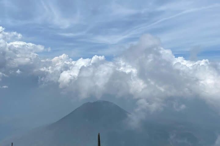
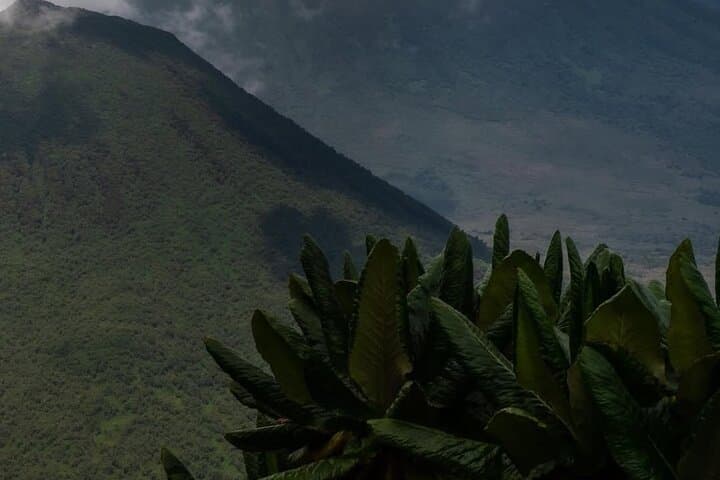
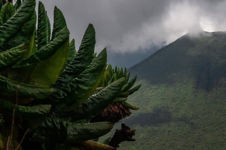
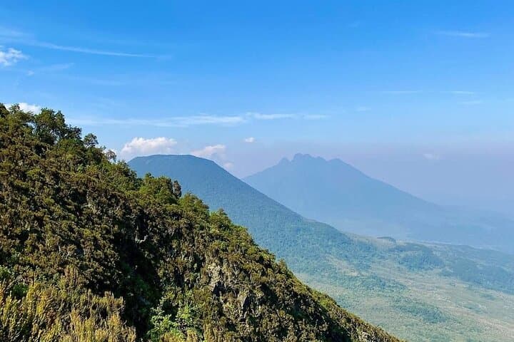
Mist rolls off the Virunga slopes as early light outlines the cone of Mount Muhabura. On the approach from Kisoro the trail threads through farmland and bamboo forest; higher up the vegetation tightens and the air thins, each breath reminding hikers they're climbing toward 4,127 meters.
Mist rolls off the Virunga slopes as early light outlines the cone of Mount Muhabura. On the approach from Kisoro the trail threads through farmland and bamboo forest; higher up the vegetation tightens and the air thins, each breath reminding hikers they're climbing toward 4,127 meters.
Muhabura is one of the Virunga volcanoes, a product of rift-driven volcanism that lifted basalt and volcanic ash into jagged ridgelines. The mountain has long been part of local Batwa and Bakiga territory; guides often share stories of ancestral hunting grounds and the ways the volcano shaped settlement patterns around Lake Mutanda. Wildlife here shifts with altitude—golden monkeys and forest antelope occupy the mid-slopes while the crater holds views into neighboring Rwanda and the greater Virunga chain.
Practically, the itinerary condenses into two days: an arrival and acclimatization day around Kisoro and Lake Mutanda, then an early start for the summit push. Expect steep, sometimes muddy tread, switchbacks through bamboo, and resting ledges with sweeping vistas. The ascent typically takes 4–6 hours depending on pace; descent is faster but still demanding on knees.
Plan for rapid weather changes—sun, wind and rain can visit in one hour. Hydrate, layer, and use trekking poles for stability on loose volcanic scree. Guides at Mgahinga Ranger HQ provide a mandatory briefing and handle permits and safety. For travelers seeking a compact but full alpine day in the Virungas, Muhabura delivers raw geology, close cultural contact, and a summit panorama that rewards careful preparation.