THE ADVENTURE COLLECTIVE® · Independent discovery and booking for outdoor travel

Follow the original Inca route on a four-day trek from Km 82 to Machu Picchu. Expect changing ecosystems, archaeological sites, and a high-altitude test that culminates at the Sun Gate at first light.
Follow the original Inca route on a four-day trek from Km 82 to Machu Picchu. Expect changing ecosystems, archaeological sites, and a high-altitude test that culminates at the Sun Gate at first light.
Dawn light slices the Andean ridge as you shoulder a pack and join the long line through the trailhead at Km 82. The path threads across cloud forest, steps carved into stone, and high puna grasslands; rivers push at your side and wind dares you to keep pace. Over four days the landscape changes from warm, mossy canopies to the brittle, wind-swept passes where snow-capped peaks watch in silhouette.
Verified experiences and guided adventures in the surrounding area.
Operated by Andean Road Peru · Cusco, Cusco Region
Dawn light slices the Andean ridge as you shoulder a pack and join the long line through the trailhead at Km 82. The path threads across cloud forest, steps carved into stone, and high puna grasslands; rivers push at your side and wind dares you to keep pace. Over four days the landscape changes from warm, mossy canopies to the brittle, wind-swept passes where snow-capped peaks watch in silhouette.
This is the original Inca route—engineered stone roads, stepped terraces and waystations that once linked a vast empire. Geologically the trail rides the eastern flanks of the Vilcabamba range with volcanic and metamorphic outcrops framing river-cut valleys. Culturally, every ruin—Llactapata, Runkuraqay, Sayacmarca, Phuyupatamarca, Wiñaywayna—offers a chapter in Inca logistics and agricultural innovation.
Practical guidance is simple and strict: permits are limited and required; acclimatize in Cusco for two nights before departure. Expect about 43 km total, a highest point of Warmiwañuska (Dead Woman’s Pass) at ~4,215 m, and camps between ~2,650–3,600 m. Trails vary from flat riverside walks to sustained 600–1,500 m ascents; footing alternates between packed earth and ancient stone stairways.
Pack layers, a reliable sleeping pad, and a headlamp for the pre-dawn push to Inti Punku (Sun Gate). Hydrate deliberately—altitude is the real challenge—and move at a steady pace: the trail rewards patience with sunrise views over Machu Picchu that few other routes can match.
challenging.
4 days.
Good aerobic base and stamina for sustained ascents at high altitude; ability to hike 6–12 hours over uneven terrain.
Yes—visitor permits are strictly limited and sold through licensed operators; book months in advance, especially for May–September.
The distance is moderate but altitude makes it challenging; allow time in Cusco to acclimatize and go at a conservative pace.
Most 4-day itineraries include porters, a cook, and meals on the trail—confirm inclusions with your operator and tip porters at trip end.
Yes—you can explore Aguas Calientes after descent or return to Cusco by train and bus; additional time lets you visit other sites like Huayna Picchu (book separately).
The trail is part of a pre-Columbian road network used by the Inca for communication, logistics and ritual travel, culminating at Machu Picchu, a 15th-century ceremonial and administrative center.
Strict permit limits, mandatory guide requirements and porter regulations protect fragile trails and cultural sites; follow Leave No Trace principles and respect local communities.
Andean Road Peru operates guided outdoor trips and adventures with an emphasis on safety, stewardship, and memorable experiences.
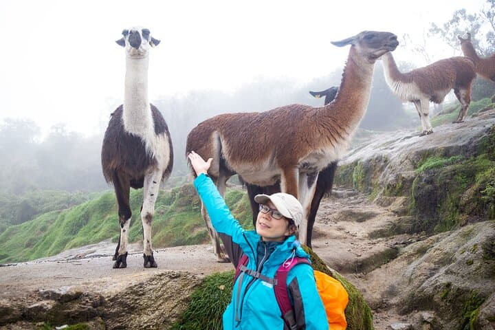
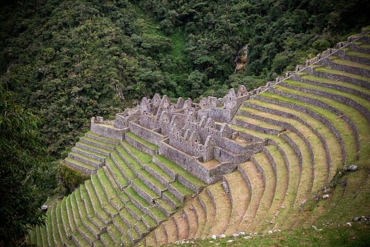
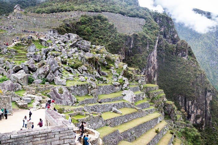
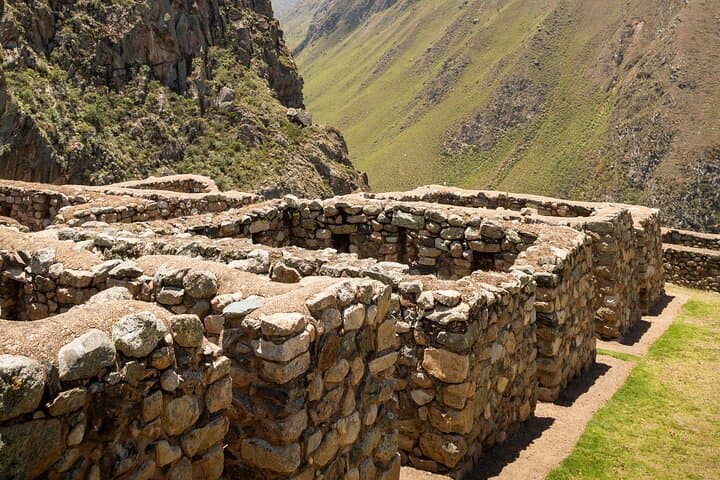
Dawn light slices the Andean ridge as you shoulder a pack and join the long line through the trailhead at Km 82. The path threads across cloud forest, steps carved into stone, and high puna grasslands; rivers push at your side and wind dares you to keep pace. Over four days the landscape changes from warm, mossy canopies to the brittle, wind-swept passes where snow-capped peaks watch in silhouette.
Dawn light slices the Andean ridge as you shoulder a pack and join the long line through the trailhead at Km 82. The path threads across cloud forest, steps carved into stone, and high puna grasslands; rivers push at your side and wind dares you to keep pace. Over four days the landscape changes from warm, mossy canopies to the brittle, wind-swept passes where snow-capped peaks watch in silhouette.
This is the original Inca route—engineered stone roads, stepped terraces and waystations that once linked a vast empire. Geologically the trail rides the eastern flanks of the Vilcabamba range with volcanic and metamorphic outcrops framing river-cut valleys. Culturally, every ruin—Llactapata, Runkuraqay, Sayacmarca, Phuyupatamarca, Wiñaywayna—offers a chapter in Inca logistics and agricultural innovation.
Practical guidance is simple and strict: permits are limited and required; acclimatize in Cusco for two nights before departure. Expect about 43 km total, a highest point of Warmiwañuska (Dead Woman’s Pass) at ~4,215 m, and camps between ~2,650–3,600 m. Trails vary from flat riverside walks to sustained 600–1,500 m ascents; footing alternates between packed earth and ancient stone stairways.
Pack layers, a reliable sleeping pad, and a headlamp for the pre-dawn push to Inti Punku (Sun Gate). Hydrate deliberately—altitude is the real challenge—and move at a steady pace: the trail rewards patience with sunrise views over Machu Picchu that few other routes can match.