THE ADVENTURE COLLECTIVE® · Independent discovery and booking for outdoor travel

Walk through Gurung villages and rhododendron forests to a glacial amphitheater of Himalayan giants. This classic route to Annapurna Base Camp balances high-mountain drama with teahouse comforts and cultural stops.
Walk through Gurung villages and rhododendron forests to a glacial amphitheater of Himalayan giants. This classic route to Annapurna Base Camp balances high-mountain drama with teahouse comforts and cultural stops.
The trail opens with the smell of damp earth and rhododendron as you leave Pokhara's low, humid valley and climb into the ledgered slopes of the Modi Gorge. Early mornings bring a copper light on the snow faces of Annapurna I and Dhaulagiri; the path threads through Magar and Gurung villages, bamboo gullies and then into a high glacial basin ringed by soaring peaks.
Verified experiences and guided adventures in the surrounding area.
Operated by Moonline Tours · Pokhara, Gandaki Province
The trail opens with the smell of damp earth and rhododendron as you leave Pokhara's low, humid valley and climb into the ledgered slopes of the Modi Gorge. Early mornings bring a copper light on the snow faces of Annapurna I and Dhaulagiri; the path threads through Magar and Gurung villages, bamboo gullies and then into a high glacial basin ringed by soaring peaks.
Geology here is blunt and obvious: steep, glaciated cirques carved from uplifted metamorphic rock, with the Modi River cutting a deep channel below. Human history is written in stone-built terraces and Gurung settlement patterns that supported mule caravans for centuries; the Annapurna Conservation Area (established in the 1980s) now manages permits and protects fragile alpine meadows.
Expect changing terrain: stone staircases, muddy forest switchbacks, and scree above 3,000 m. The classic itinerary covers roughly 40–60 km of trekking (trail distance varies by side trips) and climbs from ~900 m in Pokhara to Annapurna Base Camp at about 4,130 m — most nights are in teahouses or lodges.
Practical edge: plan for progressive acclimatization, carry a reliable rain shell and warm layers for night temps below freezing, and budget for TIMS and ACAP permits. Water should be treated above tree line; trekking poles ease steep descents. Morning and late afternoon offer the clearest views and best light for photos; cloud build-up is common around mid-day. With moderate-to-challenging terrain, this is a trek that rewards steady pacing, basic navigation, and respect for altitude.
challenging.
12–14 days.
Good cardiovascular fitness with experience on multi-day hikes; able to hike 5–7 hours on uneven terrain with a daypack.
Yes—carry an ACAP (Annapurna Conservation Area Permit) and a TIMS card; these are checked at trailheads and village checkpoints.
Spring (March–May) and fall (September–November) offer the most stable weather and clear mountain views; monsoon (summer) brings heavy rain and winter brings deep snow at higher elevations.
Yes—most nights are spent in basic teahouses with twin rooms and shared bathrooms; food is often simple but filling and hot.
Altitude sickness is a real risk above 3,000 m; symptoms vary—plan rest days, ascend slowly, hydrate, and descend if symptoms worsen.
The Annapurna region has long been home to Gurung and Magar communities; the Annapurna Conservation Area was one of Nepal's first community-based conservation efforts in the 1980s.
Follow ACAP rules: keep to the trail, pack out non-biodegradable waste, and use local teahouses to support village economies—avoid single-use plastics where possible.
Moonline Tours operates guided outdoor trips and adventures with an emphasis on safety, stewardship, and memorable experiences.
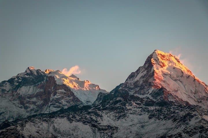
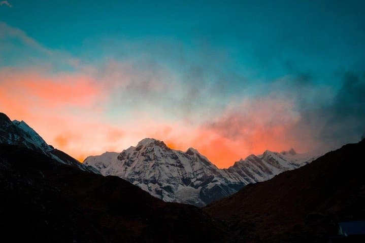
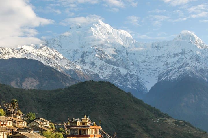
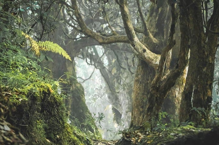
The trail opens with the smell of damp earth and rhododendron as you leave Pokhara's low, humid valley and climb into the ledgered slopes of the Modi Gorge. Early mornings bring a copper light on the snow faces of Annapurna I and Dhaulagiri; the path threads through Magar and Gurung villages, bamboo gullies and then into a high glacial basin ringed by soaring peaks.
The trail opens with the smell of damp earth and rhododendron as you leave Pokhara's low, humid valley and climb into the ledgered slopes of the Modi Gorge. Early mornings bring a copper light on the snow faces of Annapurna I and Dhaulagiri; the path threads through Magar and Gurung villages, bamboo gullies and then into a high glacial basin ringed by soaring peaks.
Geology here is blunt and obvious: steep, glaciated cirques carved from uplifted metamorphic rock, with the Modi River cutting a deep channel below. Human history is written in stone-built terraces and Gurung settlement patterns that supported mule caravans for centuries; the Annapurna Conservation Area (established in the 1980s) now manages permits and protects fragile alpine meadows.
Expect changing terrain: stone staircases, muddy forest switchbacks, and scree above 3,000 m. The classic itinerary covers roughly 40–60 km of trekking (trail distance varies by side trips) and climbs from ~900 m in Pokhara to Annapurna Base Camp at about 4,130 m — most nights are in teahouses or lodges.
Practical edge: plan for progressive acclimatization, carry a reliable rain shell and warm layers for night temps below freezing, and budget for TIMS and ACAP permits. Water should be treated above tree line; trekking poles ease steep descents. Morning and late afternoon offer the clearest views and best light for photos; cloud build-up is common around mid-day. With moderate-to-challenging terrain, this is a trek that rewards steady pacing, basic navigation, and respect for altitude.