THE ADVENTURE COLLECTIVE® · Independent discovery and booking for outdoor travel

A compact multi‑day trek from Rishikesh to Chopta that combines high‑meadow walks, a starry campsite in Sari village, Deoria Tal’s mirror lake and a pre‑dawn climb to Chandrashilla for Himalayan sunrise. Practical for moderately fit hikers who want cultural homestays and alpine views.
A compact multi‑day trek from Rishikesh to Chopta that combines high‑meadow walks, a starry campsite in Sari village, Deoria Tal’s mirror lake and a pre‑dawn climb to Chandrashilla for Himalayan sunrise. Practical for moderately fit hikers who want cultural homestays and alpine views.
Book with Mapping The Himalayas
Book directly with Mapping The Himalayas for the best rates and real-time scheduling.
Reserve NowVerified experiences and guided adventures in the surrounding area.
Operated by Mapping The Himalayas · Chopta, Uttarakhand
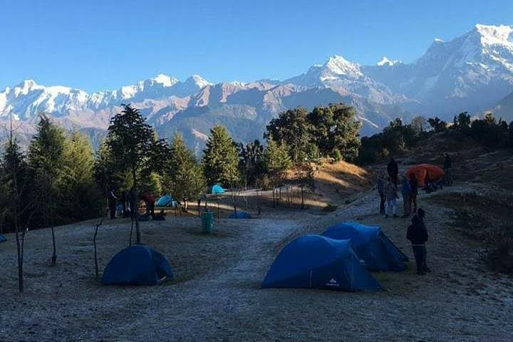
A cold chai under a wide Himalayan sky starts the day in Chopta: pine-scented air, frost glinting on grass, and a narrow trail that climbs toward a silhouette of rock and snow. The 4‑day Chopta trek threads village orchards and rhododendron woods, opens onto Rohini Bugyal’s green meadows, and finishes with a pre-dawn push to Chandrashilla for sunrise above the Gangetic foothills.
moderate.
4 days.
Suitable for hikers with moderate fitness able to manage 4–6 hours of walking and short steep sections; some prior day‑hike experience recommended
The final ascent is steep but short; expect rocky steps and uneven footing — suitable for moderately fit hikers who move at a steady pace.
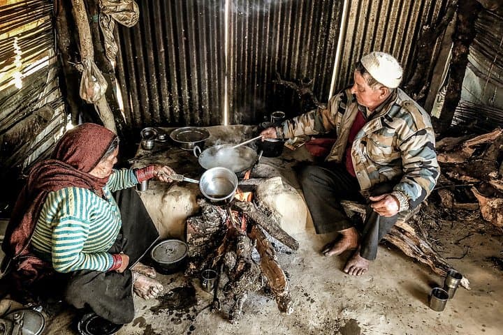
The itinerary includes a campsite night and homestay nights; basic tents and sleeping bags are provided for the camp, while homestays offer simple beds and local meals.
Local forest entry fees and permissions are handled by the operator in this organised trip; hiring a guide is included in the private multi‑day itinerary.
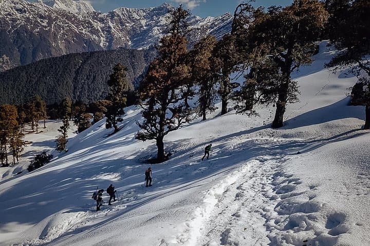
Stable weather windows are late spring to autumn (May–October) for clear views; winter offers snow but colder, more challenging conditions.
The trail connects small Garhwali agricultural communities and pilgrimage routes to Tungnath, carrying centuries of local pastoral and devotional use.
Stick to established trails and avoid disturbing ground‑nesting birds; local guides help minimize impact and fees support forest permissions.
Mapping The Himalayas operates guided outdoor trips and adventures with an emphasis on safety, stewardship, and memorable experiences.
Book with Mapping The Himalayas
Book directly with Mapping The Himalayas for the best rates and real-time scheduling.
Reserve Now