THE ADVENTURE COLLECTIVE® · Independent discovery and booking for outdoor travel

A brisk day-hike from Kathmandu to Chisapani rewards early risers with a Himalayan panorama from 2,175 m. Expect forested trails, Tamang villages and four to six hours of varied terrain.
A brisk day-hike from Kathmandu to Chisapani rewards early risers with a Himalayan panorama from 2,175 m. Expect forested trails, Tamang villages and four to six hours of varied terrain.
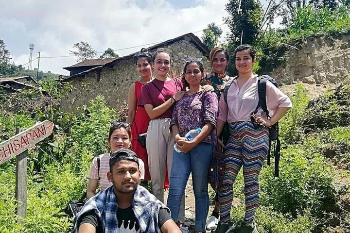
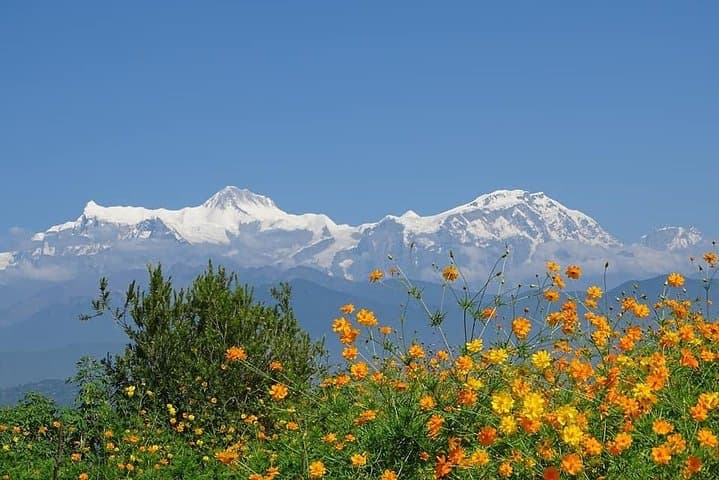
Dawn pries open over Chisapani and the valley exhales—a cool, clear cut of air that carries the scent of pine and wet earth. You climb past Sundarijal's rushing falls, the stream daring you to slow down, then push through rhododendron and pine where shafts of light puncture the forest. At 2,175 m the ridge spills a staggered horizon: Annapurna and Manaslu to the west, Langtang and the Everest region to the east, a living map of Nepal’s high ranges.
Verified experiences and guided adventures in the surrounding area.
Operated by Transport Hub Nepal · Kathmandu, Bagmati Province
Dawn pries open over Chisapani and the valley exhales—a cool, clear cut of air that carries the scent of pine and wet earth. You climb past Sundarijal's rushing falls, the stream daring you to slow down, then push through rhododendron and pine where shafts of light puncture the forest. At 2,175 m the ridge spills a staggered horizon: Annapurna and Manaslu to the west, Langtang and the Everest region to the east, a living map of Nepal’s high ranges.
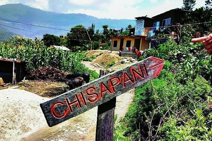
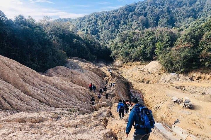
The trail threads centuries of local life—Tamang hamlets, terraced farms and pilgrim paths that feed into Shivapuri Nagarjun National Park, created to protect Kathmandu’s north rim. Geologically, the ridge is young Himalayan fold, its steep terraces carved by monsoon-fed streams and human cultivation; you’ll notice loose scree on steeper pitches and moss-damp stone where springs cross the path.
Culturally the hike is a gentle lesson in village life: tea houses offer chai and toasted maize, friendly exchanges in Nepali and Tamang languages, and simple wooden homes stacked along the slopes.
Practical guidance: start early for sunrise light and fewer crowds; expect 4–6 hours round trip with 500–800 m of cumulative ascent depending on route. Trail surfaces vary—packed earth, stone steps and occasional loose rock—so ankle-supportive boots matter. Hydrate before you leave and carry at least 1–2 liters; weather can shift fast, so pack a windproof layer. Respect park rules: stick to trails, avoid feeding wildlife, and leave no trace. For travelers based in Kathmandu, Chisapani is an achievable day hike with high-altitude views that reward steady effort.
moderate.
4–6 hours.
Suitable for regular walkers with basic hill fitness; expect sustained uphill sections and some steep steps.
Most hikes start with a short private or shared drive to Sundarijal (about 30–60 minutes depending on traffic), from where the trail climbs north into Shivapuri.
Yes—while there are sustained climbs, the route is well-marked and manageable for those with basic fitness; take breaks and hydrate.
A park entry fee is required at certain gates; if joining an organized tour the operator usually handles fees—carry ID and some local currency.
On a clear day you can see the eastern Himalayan skyline extending toward Everest; visibility depends on season and morning clarity.
Chisapani sits on traditional grazing and pilgrimage routes along Kathmandu’s north rim; the area became part of Shivapuri Nagarjun National Park to protect water sources and forests.
Trails suffer from erosion and litter during peak season—follow park rules, carry out waste, and use established tea houses to support local economies.
Transport Hub Nepal operates guided outdoor trips and adventures with an emphasis on safety, stewardship, and memorable experiences.
Dawn pries open over Chisapani and the valley exhales—a cool, clear cut of air that carries the scent of pine and wet earth. You climb past Sundarijal's rushing falls, the stream daring you to slow down, then push through rhododendron and pine where shafts of light puncture the forest. At 2,175 m the ridge spills a staggered horizon: Annapurna and Manaslu to the west, Langtang and the Everest region to the east, a living map of Nepal’s high ranges.
Dawn pries open over Chisapani and the valley exhales—a cool, clear cut of air that carries the scent of pine and wet earth. You climb past Sundarijal's rushing falls, the stream daring you to slow down, then push through rhododendron and pine where shafts of light puncture the forest. At 2,175 m the ridge spills a staggered horizon: Annapurna and Manaslu to the west, Langtang and the Everest region to the east, a living map of Nepal’s high ranges.
The trail threads centuries of local life—Tamang hamlets, terraced farms and pilgrim paths that feed into Shivapuri Nagarjun National Park, created to protect Kathmandu’s north rim. Geologically, the ridge is young Himalayan fold, its steep terraces carved by monsoon-fed streams and human cultivation; you’ll notice loose scree on steeper pitches and moss-damp stone where springs cross the path.
Culturally the hike is a gentle lesson in village life: tea houses offer chai and toasted maize, friendly exchanges in Nepali and Tamang languages, and simple wooden homes stacked along the slopes.
Practical guidance: start early for sunrise light and fewer crowds; expect 4–6 hours round trip with 500–800 m of cumulative ascent depending on route. Trail surfaces vary—packed earth, stone steps and occasional loose rock—so ankle-supportive boots matter. Hydrate before you leave and carry at least 1–2 liters; weather can shift fast, so pack a windproof layer. Respect park rules: stick to trails, avoid feeding wildlife, and leave no trace. For travelers based in Kathmandu, Chisapani is an achievable day hike with high-altitude views that reward steady effort.