THE ADVENTURE COLLECTIVE® · Independent discovery and booking for outdoor travel

A compact day hike from Pokhara that climbs to Rupakot and winds through Gurung villages—expect 5–6 hours, 450–500 m of ascent, stone steps and broad hilltop views of the Annapurna–Lamjung range.
A compact day hike from Pokhara that climbs to Rupakot and winds through Gurung villages—expect 5–6 hours, 450–500 m of ascent, stone steps and broad hilltop views of the Annapurna–Lamjung range.
You step out of Lakeside’s bustle into a cool valley road; the air smells of damp earth and wood smoke as the drive climbs toward Rupakot. A motorable lane gives way to a clear footpath and, within an hour, the hillside opens to terraced fields and a string of Gurung villages. The trail pulls you upward—forested slopes, occasional stone staircases and sweeping breaks that reveal the layered ridges of the Lesser Himalaya and a distant band of Annapurna-Lamjung peaks.
Verified experiences and guided adventures in the surrounding area.
Operated by Saara Tourism Nepal-Travel Advisor in Nepal · Pokhara, Gandaki Province
You step out of Lakeside’s bustle into a cool valley road; the air smells of damp earth and wood smoke as the drive climbs toward Rupakot. A motorable lane gives way to a clear footpath and, within an hour, the hillside opens to terraced fields and a string of Gurung villages. The trail pulls you upward—forested slopes, occasional stone staircases and sweeping breaks that reveal the layered ridges of the Lesser Himalaya and a distant band of Annapurna-Lamjung peaks.
This route threads living culture and geography: Gurung settlements, local schools and community offices at Birchok, and historical interest dating to the 1990s when western trekkers helped popularize the “Royal Trek” routes. Geologically the area sits on mid-hill ridgelines of weathered sedimentary rock; soils feed the terraced agriculture that defines the slopes. The Mardi River valley below pushes humidity into the lanes during monsoon months and keeps springs flowing in drier seasons.
Practical guidance: expect a 5–6 hour outing with roughly 6–8 km of walking and about 450–500 m of elevation gain (Pokhara ~820 m to Rupakot ~1,300 m). Terrain mixes dirt track, stone steps and short steep pitches—trail shoes with good traction are essential. Start early for clearer mountain views and easier heat management; pack water, a light rain shell and modest cash for teashops in the villages. The hike suits moderately fit walkers comfortable with steady uphill and uneven surfaces; guides and a single lunch are commonly provided on day outings from Pokhara.
moderate.
5–6 hours.
Suitable for moderately fit walkers who can handle steady uphill at a relaxed to brisk pace; short steep sections require basic leg strength and balance.
Expect about 6–8 km of walking with roughly 450–500 m of elevation gain; total outing time from pickup to drop-off is 5–6 hours.
Guides are typically provided; the route is rated easy-to-moderate and is suitable for beginners with a basic fitness level, though some uphill sections are sustained.
Basic teahouse-style facilities and local toilets exist in villages like Birchok; a simple lunch is usually included but bring snacks for the trail.
The hike maxes around 1,300 m—altitude sickness is unlikely for visitors coming from Pokhara (~820 m), but stay hydrated and ascend at a comfortable pace.
The area gained international attention during the late 20th century when visitors promoted routes around Rupakot; local Gurung communities maintain traditional village life woven into the trail network.
Stick to marked tracks, avoid single-use plastics and support local teashops—community tourism here finances schools and small conservation efforts.
Saara Tourism Nepal-Travel Advisor in Nepal operates guided outdoor trips and adventures with an emphasis on safety, stewardship, and memorable experiences.
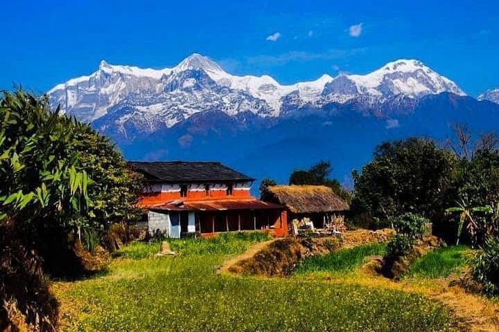
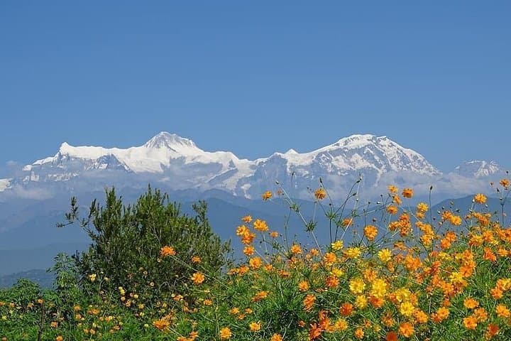
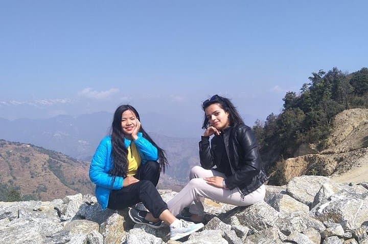
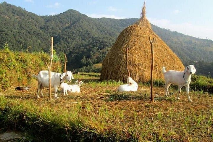
You step out of Lakeside’s bustle into a cool valley road; the air smells of damp earth and wood smoke as the drive climbs toward Rupakot. A motorable lane gives way to a clear footpath and, within an hour, the hillside opens to terraced fields and a string of Gurung villages. The trail pulls you upward—forested slopes, occasional stone staircases and sweeping breaks that reveal the layered ridges of the Lesser Himalaya and a distant band of Annapurna-Lamjung peaks.
You step out of Lakeside’s bustle into a cool valley road; the air smells of damp earth and wood smoke as the drive climbs toward Rupakot. A motorable lane gives way to a clear footpath and, within an hour, the hillside opens to terraced fields and a string of Gurung villages. The trail pulls you upward—forested slopes, occasional stone staircases and sweeping breaks that reveal the layered ridges of the Lesser Himalaya and a distant band of Annapurna-Lamjung peaks.
This route threads living culture and geography: Gurung settlements, local schools and community offices at Birchok, and historical interest dating to the 1990s when western trekkers helped popularize the “Royal Trek” routes. Geologically the area sits on mid-hill ridgelines of weathered sedimentary rock; soils feed the terraced agriculture that defines the slopes. The Mardi River valley below pushes humidity into the lanes during monsoon months and keeps springs flowing in drier seasons.
Practical guidance: expect a 5–6 hour outing with roughly 6–8 km of walking and about 450–500 m of elevation gain (Pokhara ~820 m to Rupakot ~1,300 m). Terrain mixes dirt track, stone steps and short steep pitches—trail shoes with good traction are essential. Start early for clearer mountain views and easier heat management; pack water, a light rain shell and modest cash for teashops in the villages. The hike suits moderately fit walkers comfortable with steady uphill and uneven surfaces; guides and a single lunch are commonly provided on day outings from Pokhara.