THE ADVENTURE COLLECTIVE® · Independent discovery and booking for outdoor travel

Walk a compact, richly layered route through New York’s Chinatown and Little Italy with a GPS-driven mobile game that mixes history, food stops, and puzzles. This self-guided app tour runs about 1–2 hours and lets you explore at your own pace.
Walk a compact, richly layered route through New York’s Chinatown and Little Italy with a GPS-driven mobile game that mixes history, food stops, and puzzles. This self-guided app tour runs about 1–2 hours and lets you explore at your own pace.
The tour opens with the city folding in on itself: narrow Mott and Doyers Streets funnel sunlight into alleys where steam vents from dumpling kitchens and the chatter of mahjong tables spills into the sidewalk. The app pings — a clue, a short audio vignette — and the traveler moves through a living map of immigrant routes, storefronts, and small, layered histories.
Verified experiences and guided adventures in the surrounding area.
Operated by Leplace - interactive self-guided app tours · New York, NY
The tour opens with the city folding in on itself: narrow Mott and Doyers Streets funnel sunlight into alleys where steam vents from dumpling kitchens and the chatter of mahjong tables spills into the sidewalk. The app pings — a clue, a short audio vignette — and the traveler moves through a living map of immigrant routes, storefronts, and small, layered histories.
This stretch of Lower Manhattan was shaped by commerce and migration. Columbus Park sits on the edge of old Five Points, once a marshy, crowded neighborhood that gave way to immigrant enclaves in the 19th and early 20th centuries. Little Italy grew from Italian laborers and merchants, while Chinatown formed as successive waves of Cantonese and other Chinese immigrants made the area home. Brick facades, fire escapes, and narrow bends tell a story of piecemeal growth rather than planned design — the city’s geology is reclaimed land and filled shoreline, with streets that follow property lines more than a grid.
Practically, the experience is a mobile-driven scavenger hunt: puzzles, audio, and checkpoint histories guide a self-paced 1–2 hour loop. Start at Columbus Park, bring a charged phone and headphones, and allow extra time for food stops — dim sum, pork buns, cannoli — which the route highlights. Public transit drops you nearby; wear comfortable shoes for uneven sidewalks and watch for bicycles.
The app format suits independent travelers who want flexibility: pause, linger at a bakery, or take the route again at dusk when neon signs and lamplight change the neighborhood’s character.
easy.
1–2 hours.
Suitable for casual walkers who can handle city sidewalks and short standing periods
No — the tour is self-guided and can start anytime after you activate your booking via LP Connect.
Many sidewalks are passable but there are narrow alleys, curb cuts, and potential crowding; the tour is not recommended for those with impaired mobility per provider notes.
Yes — food and purchases at bakeries, dim sum houses, and delis are not included; plan to pay cash or card at each location.
Activation can take up to two hours; try again later and contact LP Connect Support if issues persist.
This corridor traces 19th-century immigrant settlement patterns: Five Points’ decline, Italian migration into Mulberry Street, and Chinatown’s expansion after restrictive laws eased in the 20th century.
Support local small businesses and avoid single-use plastics; stick to sidewalks and crosswalks to minimize disruption to residents and reduce street litter.
Leplace - interactive self-guided app tours operates guided outdoor trips and adventures with an emphasis on safety, stewardship, and memorable experiences.
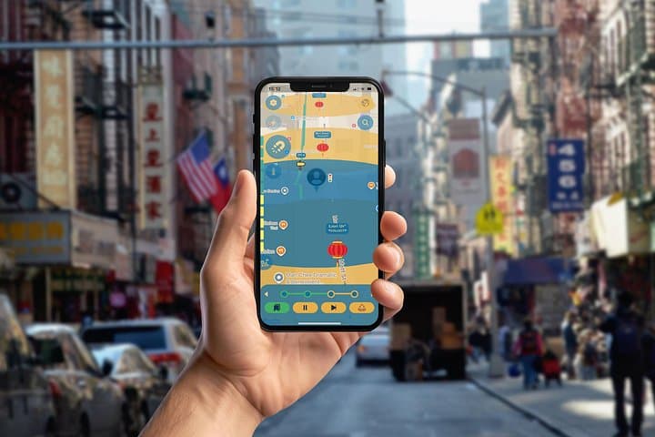
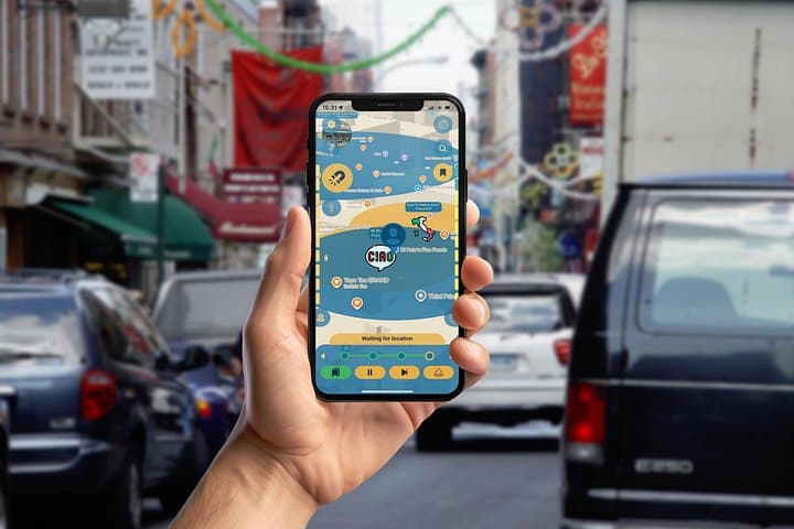
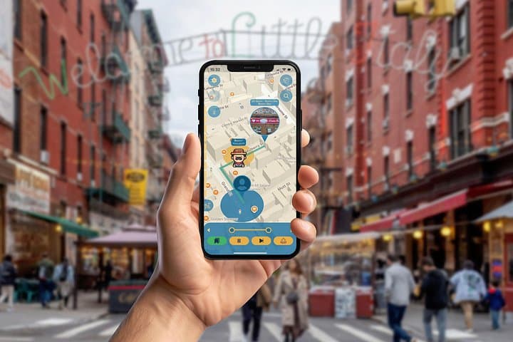
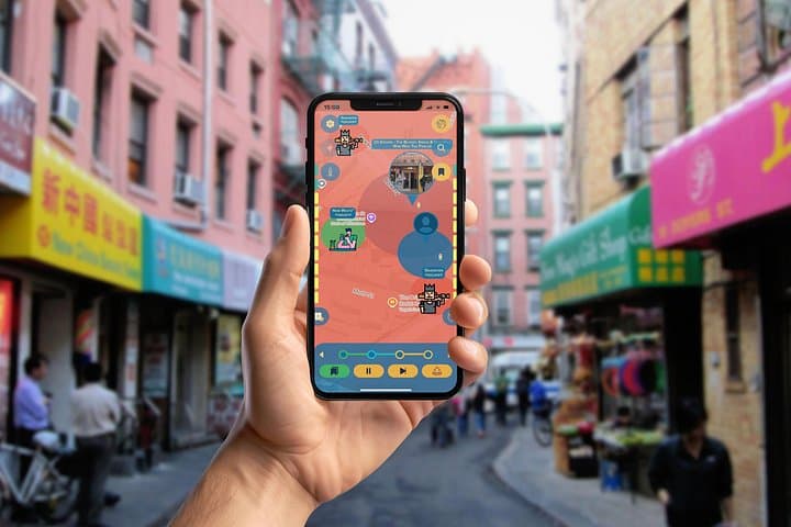
The tour opens with the city folding in on itself: narrow Mott and Doyers Streets funnel sunlight into alleys where steam vents from dumpling kitchens and the chatter of mahjong tables spills into the sidewalk. The app pings — a clue, a short audio vignette — and the traveler moves through a living map of immigrant routes, storefronts, and small, layered histories.
The tour opens with the city folding in on itself: narrow Mott and Doyers Streets funnel sunlight into alleys where steam vents from dumpling kitchens and the chatter of mahjong tables spills into the sidewalk. The app pings — a clue, a short audio vignette — and the traveler moves through a living map of immigrant routes, storefronts, and small, layered histories.
This stretch of Lower Manhattan was shaped by commerce and migration. Columbus Park sits on the edge of old Five Points, once a marshy, crowded neighborhood that gave way to immigrant enclaves in the 19th and early 20th centuries. Little Italy grew from Italian laborers and merchants, while Chinatown formed as successive waves of Cantonese and other Chinese immigrants made the area home. Brick facades, fire escapes, and narrow bends tell a story of piecemeal growth rather than planned design — the city’s geology is reclaimed land and filled shoreline, with streets that follow property lines more than a grid.
Practically, the experience is a mobile-driven scavenger hunt: puzzles, audio, and checkpoint histories guide a self-paced 1–2 hour loop. Start at Columbus Park, bring a charged phone and headphones, and allow extra time for food stops — dim sum, pork buns, cannoli — which the route highlights. Public transit drops you nearby; wear comfortable shoes for uneven sidewalks and watch for bicycles.
The app format suits independent travelers who want flexibility: pause, linger at a bakery, or take the route again at dusk when neon signs and lamplight change the neighborhood’s character.