THE ADVENTURE COLLECTIVE® · Independent discovery and booking for outdoor travel

Traverse the rim of Chicamocha Canyon from La Mojarra to the leafy plaza of Los Santos in a private guided hike. Expect steep viewpoints, layered canyon geology, and a 2–5 hour route that balances exposure with cooler mid-elevation walking.
Traverse the rim of Chicamocha Canyon from La Mojarra to the leafy plaza of Los Santos in a private guided hike. Expect steep viewpoints, layered canyon geology, and a 2–5 hour route that balances exposure with cooler mid-elevation walking.
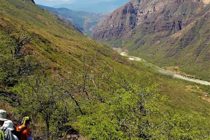
The morning opens over a rim of red-brown rock; wind brushes the scrub and the canyon seems to breathe beneath you. Starting at La Mojarra, the trail slices along the canyon edge at roughly 1,500 meters above sea level, where the drop to the river below reads about 1,000 meters — a constant, shifting view that both humbles and propels the hiker.
Verified experiences and guided adventures in the surrounding area.
Operated by Wolf Tours Colombia · Los Santos, Santander
The morning opens over a rim of red-brown rock; wind brushes the scrub and the canyon seems to breathe beneath you. Starting at La Mojarra, the trail slices along the canyon edge at roughly 1,500 meters above sea level, where the drop to the river below reads about 1,000 meters — a constant, shifting view that both humbles and propels the hiker.
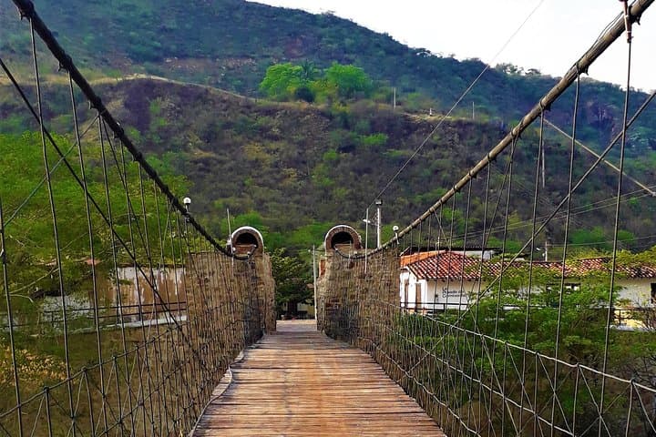
Chicamocha Canyon was carved by the patient force of the Chicamocha River, its walls exposing layered sediments that tell a slow geological story of uplift and erosion. The region has long been home to Santander’s mountain communities; the Guane people once moved through these slopes, and today small towns such as Los Santos keep a town-park culture centered on local food and conversation.
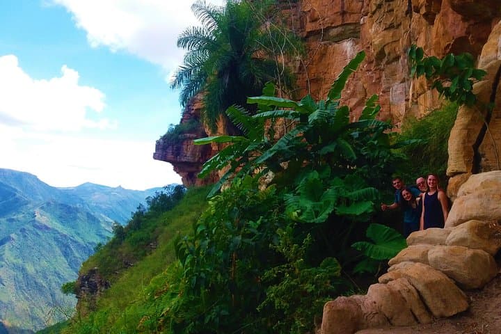
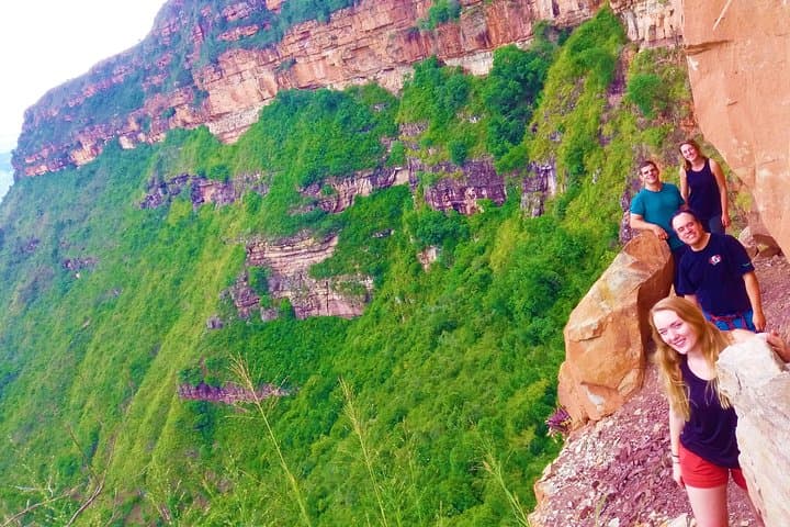
The guided route typically drops about 300 meters before climbing toward Los Santos, avoiding the swelter at canyon bottom while still delivering raw, panoramic exposure. Expect mixed terrain: dusty singletrack, stone steps cut into the hillside, and grassy switchbacks. Birdlife wheels the thermals and vultures dare you to look down; coffee plots and scrub farmland punctuate the slope.
Practical guidance: start early to beat midday heat, carry at least 2 liters of water and sun protection, and wear grippy, broken-in hiking shoes for rocky sections. The hike takes roughly 2–5 hours depending on pace and trail choice; transport between Los Santos and La Mojarra is available, and bilingual guides are common. Respect trail etiquette, avoid unnecessary descent to the river to limit heat exposure, and budget time to linger in Los Santos’ central park at the end of the day.
moderate.
2–5 hours.
Moderate fitness is required: able to handle a sustained descent of ~300 m followed by an uphill approach, uneven terrain, and some rocky steps.
Trail time varies by route and pace but typically ranges from 2 to 5 hours; guides factor in photo stops and terrain.
No technical experience is required, but hikers should be comfortable with sustained ascents/descents and uneven footing.
Options include private transport with the tour or local public buses; confirm logistics with the tour operator when booking.
Facilities are limited on the trail itself; plan to use services in Los Santos before or after the hike and carry snacks and water.
The canyon corridor was traversed by pre-Colombian Guane communities and later became a patchwork of small agricultural holdings tied to Santander’s colonial-era development.
Trail erosion and unmanaged foot traffic threaten fragile slopes; stay on marked paths and avoid disturbing native vegetation to help protect the canyon ecosystem.
Wolf Tours Colombia operates guided outdoor trips and adventures with an emphasis on safety, stewardship, and memorable experiences.
The morning opens over a rim of red-brown rock; wind brushes the scrub and the canyon seems to breathe beneath you. Starting at La Mojarra, the trail slices along the canyon edge at roughly 1,500 meters above sea level, where the drop to the river below reads about 1,000 meters — a constant, shifting view that both humbles and propels the hiker.
The morning opens over a rim of red-brown rock; wind brushes the scrub and the canyon seems to breathe beneath you. Starting at La Mojarra, the trail slices along the canyon edge at roughly 1,500 meters above sea level, where the drop to the river below reads about 1,000 meters — a constant, shifting view that both humbles and propels the hiker.
Chicamocha Canyon was carved by the patient force of the Chicamocha River, its walls exposing layered sediments that tell a slow geological story of uplift and erosion. The region has long been home to Santander’s mountain communities; the Guane people once moved through these slopes, and today small towns such as Los Santos keep a town-park culture centered on local food and conversation.
The guided route typically drops about 300 meters before climbing toward Los Santos, avoiding the swelter at canyon bottom while still delivering raw, panoramic exposure. Expect mixed terrain: dusty singletrack, stone steps cut into the hillside, and grassy switchbacks. Birdlife wheels the thermals and vultures dare you to look down; coffee plots and scrub farmland punctuate the slope.
Practical guidance: start early to beat midday heat, carry at least 2 liters of water and sun protection, and wear grippy, broken-in hiking shoes for rocky sections. The hike takes roughly 2–5 hours depending on pace and trail choice; transport between Los Santos and La Mojarra is available, and bilingual guides are common. Respect trail etiquette, avoid unnecessary descent to the river to limit heat exposure, and budget time to linger in Los Santos’ central park at the end of the day.