THE ADVENTURE COLLECTIVE® · Independent discovery and booking for outdoor travel

A day hike from Machhegaun to Chandragiri’s Bhaleshwor Temple that climbs through village lanes and rhododendron forest to wide Himalayan panoramas. Expect steep, well‑trodden trails, 700–900 m of ascent and clear summit views on good weather days.
A day hike from Machhegaun to Chandragiri’s Bhaleshwor Temple that climbs through village lanes and rhododendron forest to wide Himalayan panoramas. Expect steep, well‑trodden trails, 700–900 m of ascent and clear summit views on good weather days.
The trail begins in Machhegaun’s stone‑paved alleys where roosters call and terraced fields slope away toward the Kathmandu bowl. You move from village lanes into a ribbon of rhododendron forest; the trees close in and then open as the ridge lifts you above the valley. Wind on the crest teases the view—bands of farmland give way to an engineered horizon of peaks that, on a clear day, extend from Ganesh Himal to Everest.
Verified experiences and guided adventures in the surrounding area.
Operated by Osho world Adventure · Kathmandu, Bagmati Province
The trail begins in Machhegaun’s stone‑paved alleys where roosters call and terraced fields slope away toward the Kathmandu bowl. You move from village lanes into a ribbon of rhododendron forest; the trees close in and then open as the ridge lifts you above the valley. Wind on the crest teases the view—bands of farmland give way to an engineered horizon of peaks that, on a clear day, extend from Ganesh Himal to Everest.
Chandragiri has been a local pilgrimage and lookout for generations; the Bhaleshwor Temple on the summit is both a religious stop and a cultural anchor. Geologically, the hill is part of the Mahabharat Range—steep, young sediments carved into sharp ridgelines. Farmers and shepherds shaped the lower slopes; the upper trails pass through mixed oak, rhododendron and scrub.
Expect a steady climb: roughly 8–10 km round trip with about 700–900 m of elevation gain depending on your start point at Machhegaun. Terrain alternates between packed dirt, stone steps and occasional loose scree; some sections are steep but well‑trodden. The route rewards effort with 360° views and close encounters with mountain weather—the clouds will often be the last thing to give way.
Practical guidance: start early to avoid afternoon haze, carry 1.5–2 L water, wear grippy footwear and windproof layers, and budget 6–8 hours for the full outing including travel time. Respect temple customs, pack out waste, and allow extra time for photos at Chapp Danda viewpoint.
moderate.
6–8 hours.
Good aerobic base with ability to sustain steady uphill hiking for several hours; some experience on uneven trails helpful.
Plan for roughly 8–10 km round trip with about 700–900 m of elevation gain depending on your start point in Machhegaun; the full outing including transfers typically takes 6–8 hours.
The Chapp Danda route is well used and mostly easy to follow; a local guide or group is helpful if you’re unfamiliar with the area or want cultural context at the summit.
Yes—Bhaleshwor Temple sits at the summit and is commonly visited by hikers; observe local customs, remove shoes where required, and be respectful of worshippers.
Late autumn (Oct–Nov) and spring (Mar–Apr) offer the clearest views; afternoons can be hazy or cloudy, and monsoon season brings rain and muddy trails.
Chandragiri’s summit hosts Bhaleshwor Temple, long visited by locals; the ridge has served as both spiritual lookout and strategic observation point for the valley.
Trails on Chandragiri are susceptible to erosion—stay on established paths, avoid trampling vegetation, and carry out all trash to limit impact.
Osho world Adventure operates guided outdoor trips and adventures with an emphasis on safety, stewardship, and memorable experiences.
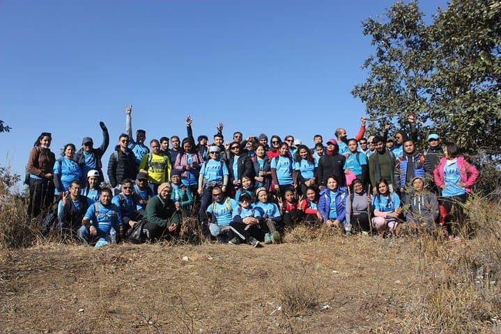
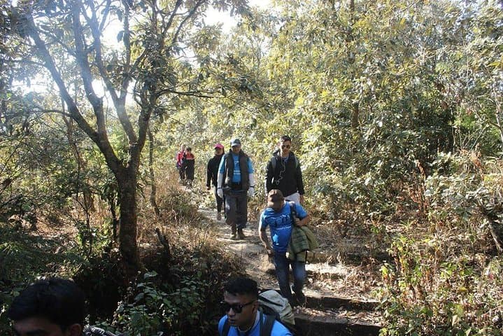
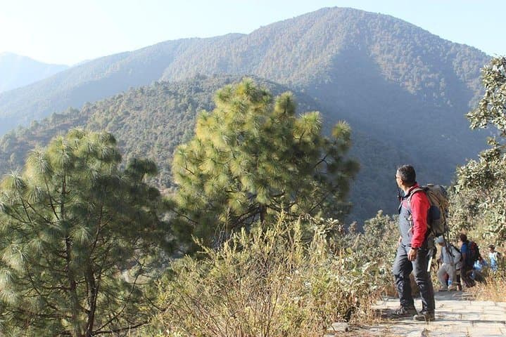
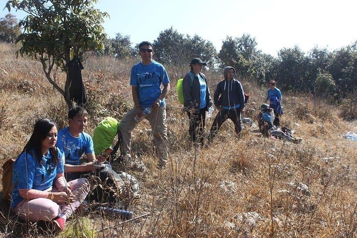
The trail begins in Machhegaun’s stone‑paved alleys where roosters call and terraced fields slope away toward the Kathmandu bowl. You move from village lanes into a ribbon of rhododendron forest; the trees close in and then open as the ridge lifts you above the valley. Wind on the crest teases the view—bands of farmland give way to an engineered horizon of peaks that, on a clear day, extend from Ganesh Himal to Everest.
The trail begins in Machhegaun’s stone‑paved alleys where roosters call and terraced fields slope away toward the Kathmandu bowl. You move from village lanes into a ribbon of rhododendron forest; the trees close in and then open as the ridge lifts you above the valley. Wind on the crest teases the view—bands of farmland give way to an engineered horizon of peaks that, on a clear day, extend from Ganesh Himal to Everest.
Chandragiri has been a local pilgrimage and lookout for generations; the Bhaleshwor Temple on the summit is both a religious stop and a cultural anchor. Geologically, the hill is part of the Mahabharat Range—steep, young sediments carved into sharp ridgelines. Farmers and shepherds shaped the lower slopes; the upper trails pass through mixed oak, rhododendron and scrub.
Expect a steady climb: roughly 8–10 km round trip with about 700–900 m of elevation gain depending on your start point at Machhegaun. Terrain alternates between packed dirt, stone steps and occasional loose scree; some sections are steep but well‑trodden. The route rewards effort with 360° views and close encounters with mountain weather—the clouds will often be the last thing to give way.
Practical guidance: start early to avoid afternoon haze, carry 1.5–2 L water, wear grippy footwear and windproof layers, and budget 6–8 hours for the full outing including travel time. Respect temple customs, pack out waste, and allow extra time for photos at Chapp Danda viewpoint.