THE ADVENTURE COLLECTIVE® · Independent discovery and booking for outdoor travel

A single day that pushes from the ruins of the world’s highest ski area to the surreal gullies of Valle de la Luna. Expect high-altitude walks, striking geology and rapid weather shifts—best for travelers who’ve acclimatized in La Paz.
A single day that pushes from the ruins of the world’s highest ski area to the surreal gullies of Valle de la Luna. Expect high-altitude walks, striking geology and rapid weather shifts—best for travelers who’ve acclimatized in La Paz.
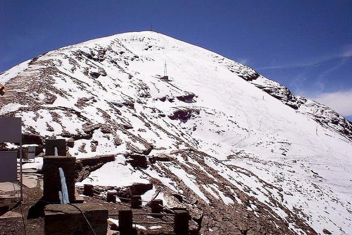
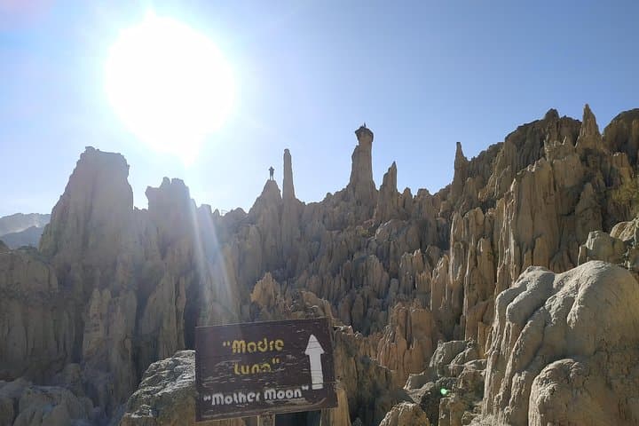
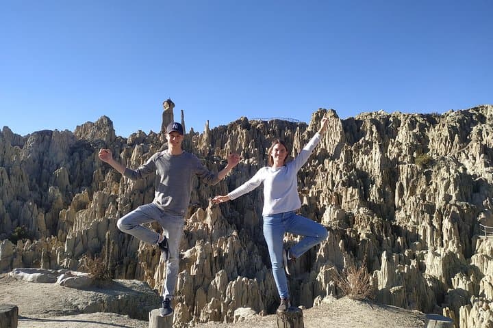
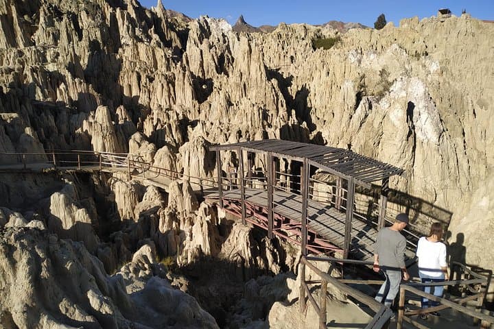
You step out of the minivan into a thin, brisk air that pinches at every inhale. Above the rim of the city, the remains of Chacaltaya’s ski resort squat like a relic on the high plain—rusted lift towers, a ruined chalet and an expanse of stony tundra that opens toward the cordillera. Later, the landscape flips: clay spires in Valle de la Luna rise like folded pages, sharp ridges and soft gullies painted in beiges, ochres and dusky reds.
Verified experiences and guided adventures in the surrounding area.
Operated by Mapamundi Go · La Paz, La Paz
You step out of the minivan into a thin, brisk air that pinches at every inhale. Above the rim of the city, the remains of Chacaltaya’s ski resort squat like a relic on the high plain—rusted lift towers, a ruined chalet and an expanse of stony tundra that opens toward the cordillera. Later, the landscape flips: clay spires in Valle de la Luna rise like folded pages, sharp ridges and soft gullies painted in beiges, ochres and dusky reds.
Chacaltaya was once Bolivia’s high-altitude ski area, drawing visitors when Andean glaciers still clung to its slopes. The recession of ice over recent decades left the resort as an interpretive ruin that tells the story of climate change and 20th-century Bolivian recreation. Geologically, Valle de la Luna is coastal-like badlands inland—soft sandstone and clay carved by wind and seasonal runoff into narrow canyons and towering pinnacles.
Expect short, steep walks rather than technical climbs: the tour reaches altitudes above 5,300 m with a guided up-to-two-hour trek at high elevation and a further hour of easy walking through the Moon Valley formations. Weather shifts fast—sunny and searing one minute, cold and windy the next. Local guides share cultural notes on Aymara communities and point out the city vistas spread below.
Practical tips: acclimatize in La Paz for 24–48 hours, hydrate before you go, carry layers and sun protection, and budget time for slow, deliberate steps at altitude. This is a day of sharp contrasts—history, geology and high-Andean exposure—most rewarding for travelers prepared for thin air and hard light.
moderate.
6–7 hours.
Moderate fitness; able to walk up to 2 hours at high altitude and manage uneven terrain. Acclimatization recommended.
Chacaltaya reaches roughly 5,300–5,400 m; most visitors notice breathlessness and slower pace—acclimatize in La Paz and move steadily to reduce symptoms.
The tour includes up to two hours of walking at Chacaltaya (short, steep sections) plus about an hour of easy walking through Valle de la Luna; much transport is by vehicle.
Not recommended for travelers with serious cardiovascular problems or spinal issues due to altitude and uneven terrain—check with your doctor first.
Excellent—panoramic city views from Chacaltaya at sunrise/sunset light, and dramatic close-ups of eroded spires in Valle de la Luna; bring a wide-angle lens and protective gear for dust.
Chacaltaya was developed as a ski destination in the mid-20th century; its retreating glacier is a visible example of Andean ice loss over recent decades.
Visitor pressure is low but erosion in Valle de la Luna is ongoing; stay on paths, avoid climbing fragile spires and carry out all waste to protect these soft-rock formations.
Mapamundi Go operates guided outdoor trips and adventures with an emphasis on safety, stewardship, and memorable experiences.
You step out of the minivan into a thin, brisk air that pinches at every inhale. Above the rim of the city, the remains of Chacaltaya’s ski resort squat like a relic on the high plain—rusted lift towers, a ruined chalet and an expanse of stony tundra that opens toward the cordillera. Later, the landscape flips: clay spires in Valle de la Luna rise like folded pages, sharp ridges and soft gullies painted in beiges, ochres and dusky reds.
You step out of the minivan into a thin, brisk air that pinches at every inhale. Above the rim of the city, the remains of Chacaltaya’s ski resort squat like a relic on the high plain—rusted lift towers, a ruined chalet and an expanse of stony tundra that opens toward the cordillera. Later, the landscape flips: clay spires in Valle de la Luna rise like folded pages, sharp ridges and soft gullies painted in beiges, ochres and dusky reds.
Chacaltaya was once Bolivia’s high-altitude ski area, drawing visitors when Andean glaciers still clung to its slopes. The recession of ice over recent decades left the resort as an interpretive ruin that tells the story of climate change and 20th-century Bolivian recreation. Geologically, Valle de la Luna is coastal-like badlands inland—soft sandstone and clay carved by wind and seasonal runoff into narrow canyons and towering pinnacles.
Expect short, steep walks rather than technical climbs: the tour reaches altitudes above 5,300 m with a guided up-to-two-hour trek at high elevation and a further hour of easy walking through the Moon Valley formations. Weather shifts fast—sunny and searing one minute, cold and windy the next. Local guides share cultural notes on Aymara communities and point out the city vistas spread below.
Practical tips: acclimatize in La Paz for 24–48 hours, hydrate before you go, carry layers and sun protection, and budget time for slow, deliberate steps at altitude. This is a day of sharp contrasts—history, geology and high-Andean exposure—most rewarding for travelers prepared for thin air and hard light.