THE ADVENTURE COLLECTIVE® · Independent discovery and booking for outdoor travel

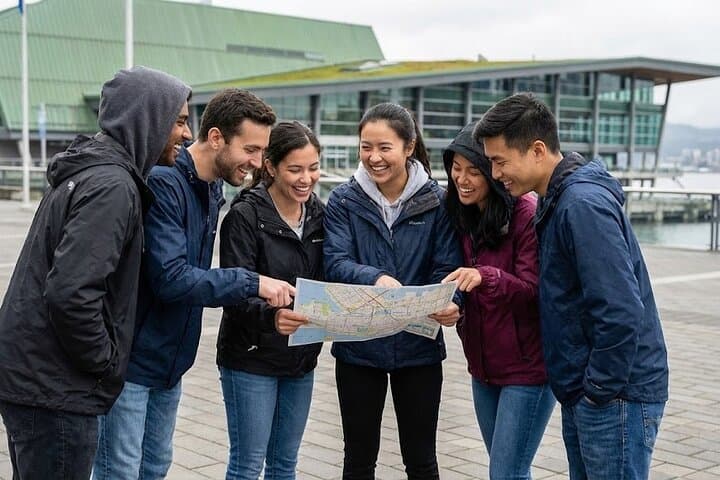
Explore downtown Vancouver on a self-guided, app-led scavenger hunt through iconic landmarks and local curiosities. Solve riddles, snap photo challenges, and learn the city’s stories while you walk the waterfront and historic streets.
Explore downtown Vancouver on a self-guided, app-led scavenger hunt through iconic landmarks and local curiosities. Solve riddles, snap photo challenges, and learn the city’s stories while you walk the waterfront and historic streets.
You step off the seawall into downtown Vancouver and the city immediately answers: glass towers reflecting the Burrard Inlet, gulls cutting the wind, and public art pointing the way. The hunt threads through blocks where the Marine Building’s 1930s terra cotta still winks and the Digital Orca seems to dive into concrete tidepools. Streets hum with coffee carts and multilingual signs; the harbour dares you toward the next riddle.
Verified experiences and guided adventures in the surrounding area.
Operated by Let's Roam · Vancouver, British Columbia
You step off the seawall into downtown Vancouver and the city immediately answers: glass towers reflecting the Burrard Inlet, gulls cutting the wind, and public art pointing the way. The hunt threads through blocks where the Marine Building’s 1930s terra cotta still winks and the Digital Orca seems to dive into concrete tidepools. Streets hum with coffee carts and multilingual signs; the harbour dares you toward the next riddle.
This central loop sits on traditional Musqueam, Squamish and Tsleil-Waututh territory and runs across glacially scoured bedrock and reclaimed shoreline. Expect a mix of 20th-century Art Deco, contemporary façades, and cultural markers that tell Vancouver’s story of settlement, trade and modern design. The route highlights civic history, public sculptures and waterfront features while threading through a working urban core.
Practical guidance: the self-guided app maps points, times and photo challenges so basic smartphone navigation is the main skill required. The hunt covers roughly 2–3 miles of walking with frequent stops; allow two hours to play at a steady pace and more if you linger at galleries and viewpoints. Wear grippy shoes for wet pavement and bring a power bank—your phone is the ticket and the puzzle tool.
Best windows are weekday mornings or golden-hour evenings for softer light and fewer crowds. Teams benefit from dividing roles: one navigator, one photographer, one clue-solver. Because the route is downtown, public transit and accessible sidewalks are usually available, but check weather and transit alerts before you go.
moderate.
2 hours.
Moderate fitness for walking several city blocks with frequent stops; able to stand and walk for up to two hours.
The route runs about two hours at a steady pace; allow extra time if you plan to linger at stops or take many photos.
Much of downtown Vancouver has accessible sidewalks and transit options, but some stops may have steps—check the app route details and choose accessible paths where available.
Yes. This is a self-guided private tour—download the app and begin whenever the city and your schedule permit.
Children can participate and strollers are manageable on most sections; service animals are allowed. Pets may be restricted at indoor points of interest so plan accordingly.
Downtown Vancouver grew rapidly in the early 20th century around shipping and finance; landmarks like the Marine Building reflect the city’s interwar boom and architectural ambition.
The route passes waterfront and urban green spaces where litter control and respect for cultural sites matter; stick to sidewalks, pack out trash and follow posted rules to reduce impact.
Let's Roam operates guided outdoor trips and adventures with an emphasis on safety, stewardship, and memorable experiences.
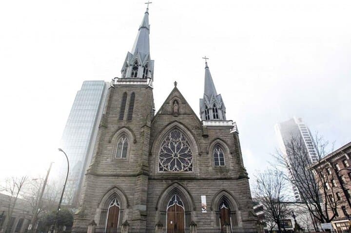
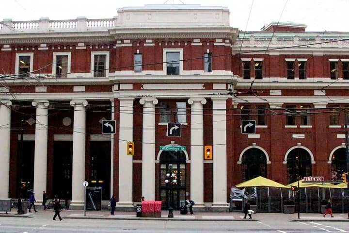
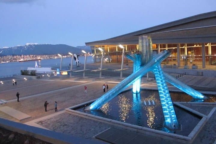
You step off the seawall into downtown Vancouver and the city immediately answers: glass towers reflecting the Burrard Inlet, gulls cutting the wind, and public art pointing the way. The hunt threads through blocks where the Marine Building’s 1930s terra cotta still winks and the Digital Orca seems to dive into concrete tidepools. Streets hum with coffee carts and multilingual signs; the harbour dares you toward the next riddle.
You step off the seawall into downtown Vancouver and the city immediately answers: glass towers reflecting the Burrard Inlet, gulls cutting the wind, and public art pointing the way. The hunt threads through blocks where the Marine Building’s 1930s terra cotta still winks and the Digital Orca seems to dive into concrete tidepools. Streets hum with coffee carts and multilingual signs; the harbour dares you toward the next riddle.
This central loop sits on traditional Musqueam, Squamish and Tsleil-Waututh territory and runs across glacially scoured bedrock and reclaimed shoreline. Expect a mix of 20th-century Art Deco, contemporary façades, and cultural markers that tell Vancouver’s story of settlement, trade and modern design. The route highlights civic history, public sculptures and waterfront features while threading through a working urban core.
Practical guidance: the self-guided app maps points, times and photo challenges so basic smartphone navigation is the main skill required. The hunt covers roughly 2–3 miles of walking with frequent stops; allow two hours to play at a steady pace and more if you linger at galleries and viewpoints. Wear grippy shoes for wet pavement and bring a power bank—your phone is the ticket and the puzzle tool.
Best windows are weekday mornings or golden-hour evenings for softer light and fewer crowds. Teams benefit from dividing roles: one navigator, one photographer, one clue-solver. Because the route is downtown, public transit and accessible sidewalks are usually available, but check weather and transit alerts before you go.