THE ADVENTURE COLLECTIVE® · Independent discovery and booking for outdoor travel

Follow a GPS‑triggered audio guide through Capitol Reef’s Waterpocket Fold at your own pace. The self‑guided driving tour highlights petroglyphs, orchards and slot canyons with offline narration and suggested itineraries for half‑ to multi‑day trips.
Follow a GPS‑triggered audio guide through Capitol Reef’s Waterpocket Fold at your own pace. The self‑guided driving tour highlights petroglyphs, orchards and slot canyons with offline narration and suggested itineraries for half‑ to multi‑day trips.
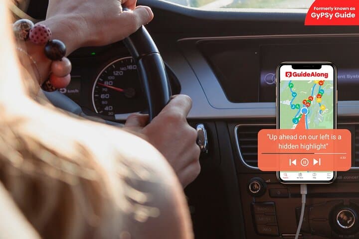
You pull off Highway 24 and the road opens into wide red domes and layered cliffs; the GuideAlong audio announces a vista and the car becomes a small, moving theater. Rock faces shift color as the sun crawls across the valley and stories about Fremont petroglyph panels and Mormon orchards arrive just as you reach the turnoff.
Verified experiences and guided adventures in the surrounding area.
Operated by GuideAlong (GyPSy Guide) · Torrey, Utah
You pull off Highway 24 and the road opens into wide red domes and layered cliffs; the GuideAlong audio announces a vista and the car becomes a small, moving theater. Rock faces shift color as the sun crawls across the valley and stories about Fremont petroglyph panels and Mormon orchards arrive just as you reach the turnoff.
Geology here is the main character: the Waterpocket Fold is a nearly 100-mile wrinkle in the earth where sandstone, shale and limestone stack and tilt, exposing epochs of desert and sea. Human history threads through those layers — ancestral Fremont sites, then 19th‑century settlers irrigating the Fremont River to grow apples at Fruita. Small structures like the one‑room schoolhouse and Behunin cabin are literal fingerprints of those eras.
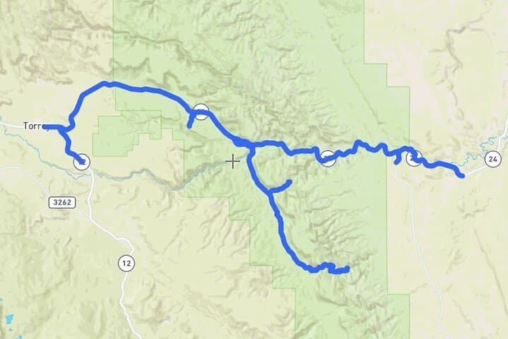
The tour routes concentrate on the park’s Scenic Drive, Grand Wash, and viewpoints such as Goosenecks; audio cues trigger by GPS so you can stop for a one‑mile hike into the gorge or linger under orchard trees during harvest. Slot canyons flirt with sunlight and the sky; flash floods can change a dry wash into a hazard in minutes.
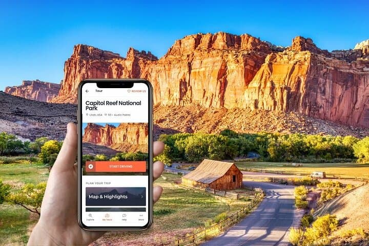
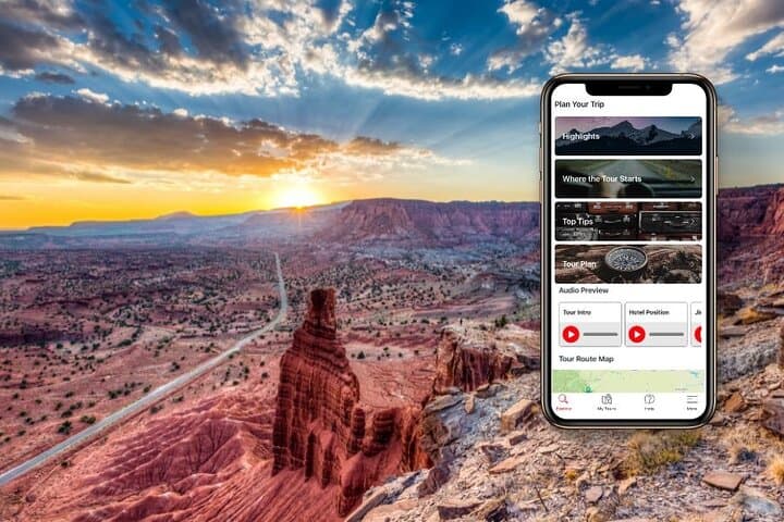
Practical edge: pre-download the GuideAlong app and the Capitol Reef tour over Wi‑Fi, charge devices and carry extra water. Drive the paved Scenic Drive slowly and park only in designated areas to protect archaeological sites. Time your run—early morning or late afternoon offers cooler temperatures and richer light for photography. This self‑guided option hands you control: follow suggested half‑day or full‑day planners, or pause wherever a story, a petroglyph panel, or a quiet stretch of canyon demands it.
easy.
8–16 hours.
Suitable for most fitness levels; walking short trails or boardwalks is optional but helpful for viewpoints.
No — you must download the GuideAlong app and the Capitol Reef tour ahead of time over Wi‑Fi or cellular; after that, commentary plays offline using your phone’s GPS.
Start anywhere along the route (Highway 12 near Torrey or past Hanksville) — the audio triggers by location so you can join, pause or stop at any point.
Yes — the official Scenic Drive is paved and suitable for standard vehicles; however, some spur roads and the Gorge Road are unpaved with a 27‑foot size restriction.
Yes, during harvest season the park sometimes allows visitors to pick fruit; follow posted rules and check seasonal availability before picking.
The Capitol Reef area preserves Fremont Culture sites and a small Mormon agricultural community at Fruita, where 19th‑century irrigation turned a desert riparian strip into orchards.
Practice Leave No Trace, stay on designated roads and trails, and avoid touching petroglyphs; water is scarce—pack and dispose of waste responsibly.
GuideAlong (GyPSy Guide) operates guided outdoor trips and adventures with an emphasis on safety, stewardship, and memorable experiences.
You pull off Highway 24 and the road opens into wide red domes and layered cliffs; the GuideAlong audio announces a vista and the car becomes a small, moving theater. Rock faces shift color as the sun crawls across the valley and stories about Fremont petroglyph panels and Mormon orchards arrive just as you reach the turnoff.
You pull off Highway 24 and the road opens into wide red domes and layered cliffs; the GuideAlong audio announces a vista and the car becomes a small, moving theater. Rock faces shift color as the sun crawls across the valley and stories about Fremont petroglyph panels and Mormon orchards arrive just as you reach the turnoff.
Geology here is the main character: the Waterpocket Fold is a nearly 100-mile wrinkle in the earth where sandstone, shale and limestone stack and tilt, exposing epochs of desert and sea. Human history threads through those layers — ancestral Fremont sites, then 19th‑century settlers irrigating the Fremont River to grow apples at Fruita. Small structures like the one‑room schoolhouse and Behunin cabin are literal fingerprints of those eras.
The tour routes concentrate on the park’s Scenic Drive, Grand Wash, and viewpoints such as Goosenecks; audio cues trigger by GPS so you can stop for a one‑mile hike into the gorge or linger under orchard trees during harvest. Slot canyons flirt with sunlight and the sky; flash floods can change a dry wash into a hazard in minutes.
Practical edge: pre-download the GuideAlong app and the Capitol Reef tour over Wi‑Fi, charge devices and carry extra water. Drive the paved Scenic Drive slowly and park only in designated areas to protect archaeological sites. Time your run—early morning or late afternoon offers cooler temperatures and richer light for photography. This self‑guided option hands you control: follow suggested half‑day or full‑day planners, or pause wherever a story, a petroglyph panel, or a quiet stretch of canyon demands it.