THE ADVENTURE COLLECTIVE® · Independent discovery and booking for outdoor travel

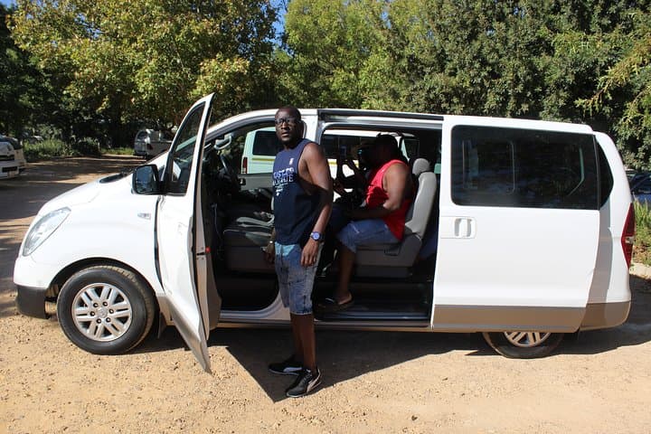
Drive from Cape Town across the Overberg to Cape Agulhas, the southernmost point of Africa where the Indian and Southern Oceans meet. This private day trip pairs coastal viewpoints, wildlife glimpses and fresh seafood in Struisbaai.
Drive from Cape Town across the Overberg to Cape Agulhas, the southernmost point of Africa where the Indian and Southern Oceans meet. This private day trip pairs coastal viewpoints, wildlife glimpses and fresh seafood in Struisbaai.
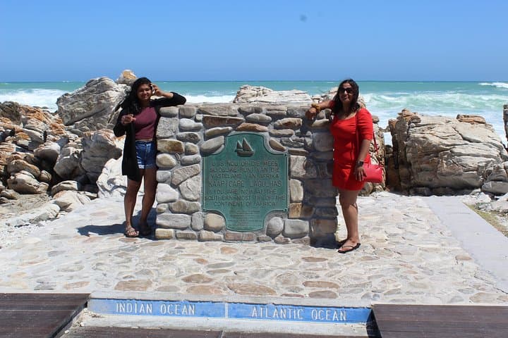
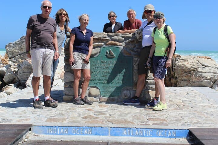
The road opens like a map under the wheels as you leave Cape Town, vineyards and rolling canola fields alternating with fynbos until the coastline tightens and the sea begins to speak in two voices. At Cape Agulhas the land leans into the Southern Ocean and the Indian Ocean, and the survey marker at the tip offers a blunt, unforgettable horizon where currents and weather argue softly.
Verified experiences and guided adventures in the surrounding area.
Operated by Flamboyant Travel and Tours · L'Agulhas, Western Cape
The road opens like a map under the wheels as you leave Cape Town, vineyards and rolling canola fields alternating with fynbos until the coastline tightens and the sea begins to speak in two voices. At Cape Agulhas the land leans into the Southern Ocean and the Indian Ocean, and the survey marker at the tip offers a blunt, unforgettable horizon where currents and weather argue softly.
This stretch of the Overberg has a layered history — shipwrecks recorded in local museums, Dutch and British-era farming settlements, and coastal communities shaped by fishing and merino sheep farming. Geologically the Agulhas Plain is low and sweeping, the shoreline a mix of sandy bays and rocky outcrops carved by strong southerly winds and the meeting of major oceanic flows. Birdlife and marine species thrive here; historically the area has supported rich fisheries and small-scale agriculture fed by a cool maritime climate.
On a private day trip you’ll pass Sir Lowry’s Pass, the fruiting Elgin Valley and sleepy farming towns before a short walk on firm sand at the marker and time for seafood in nearby Struisbaai. Expect easy terrain, exposed sun and wind, and shallow tidal flats that invite hesitant wading when the swell is low.
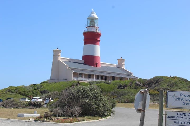
Practical tips: travel with windproof layers, sun protection and sturdy shoes for mixed surfaces; allow two to three hours at the cape itself to enjoy the lighthouse, the shoreline and seafood lunches in Struisbaai. The site rewards patience — let the currents and winds set the pace.
easy.
6–8 hours.
Suitable for most fitness levels; requires short, easy walks and the ability to stand on uneven ground for views.
Cape Agulhas is about 160 km southeast of Cape Town, typically a 2.5–3 hour drive depending on stops and traffic.
You can stand at the southernmost marker where the Indian and Southern (part of the Atlantic system) Ocean currents meet; the difference is oceanic rather than visually distinct waves.
Swimming is possible at sheltered beaches like Struisbaai, but strong currents and cold water make ocean swimming risky—obey local warnings and swim at lifeguarded beaches where available.
Yes—Struisbaai and L'Agulhas have seafood restaurants and cafés known for fresh fish; plan on a lunch stop as part of a day trip.
The cape has a long maritime history marked by shipwrecks; local museums document wrecks like the Arniston and the region’s agricultural development.
The Agulhas coast is ecologically sensitive with endemic fynbos and important seabird and marine habitats — stick to marked paths and support local sustainable seafood.
Flamboyant Travel and Tours operates guided outdoor trips and adventures with an emphasis on safety, stewardship, and memorable experiences.
The road opens like a map under the wheels as you leave Cape Town, vineyards and rolling canola fields alternating with fynbos until the coastline tightens and the sea begins to speak in two voices. At Cape Agulhas the land leans into the Southern Ocean and the Indian Ocean, and the survey marker at the tip offers a blunt, unforgettable horizon where currents and weather argue softly.
The road opens like a map under the wheels as you leave Cape Town, vineyards and rolling canola fields alternating with fynbos until the coastline tightens and the sea begins to speak in two voices. At Cape Agulhas the land leans into the Southern Ocean and the Indian Ocean, and the survey marker at the tip offers a blunt, unforgettable horizon where currents and weather argue softly.
This stretch of the Overberg has a layered history — shipwrecks recorded in local museums, Dutch and British-era farming settlements, and coastal communities shaped by fishing and merino sheep farming. Geologically the Agulhas Plain is low and sweeping, the shoreline a mix of sandy bays and rocky outcrops carved by strong southerly winds and the meeting of major oceanic flows. Birdlife and marine species thrive here; historically the area has supported rich fisheries and small-scale agriculture fed by a cool maritime climate.
On a private day trip you’ll pass Sir Lowry’s Pass, the fruiting Elgin Valley and sleepy farming towns before a short walk on firm sand at the marker and time for seafood in nearby Struisbaai. Expect easy terrain, exposed sun and wind, and shallow tidal flats that invite hesitant wading when the swell is low.
Practical tips: travel with windproof layers, sun protection and sturdy shoes for mixed surfaces; allow two to three hours at the cape itself to enjoy the lighthouse, the shoreline and seafood lunches in Struisbaai. The site rewards patience — let the currents and winds set the pace.