THE ADVENTURE COLLECTIVE® · Independent discovery and booking for outdoor travel

Drive the Big Island’s southern loop at your own pace with a GPS audio guide that maps geology, history and local culture. Download offline, stop where you choose, and plan for variable roads and spectacular coastal views.
Drive the Big Island’s southern loop at your own pace with a GPS audio guide that maps geology, history and local culture. Download offline, stop where you choose, and plan for variable roads and spectacular coastal views.
The road curls out of the lowland coffee farms and drops you toward wind-scoured cliffs and black sands. Drive windows down and the ocean dares you forward — surf slashes against carved lava shelves while macadamia groves give way to scrub and coastal pohuehue.
Verified experiences and guided adventures in the surrounding area.
Operated by Shaka Guide Apps · Naalehu, Hawaii
The road curls out of the lowland coffee farms and drops you toward wind-scoured cliffs and black sands. Drive windows down and the ocean dares you forward — surf slashes against carved lava shelves while macadamia groves give way to scrub and coastal pohuehue.
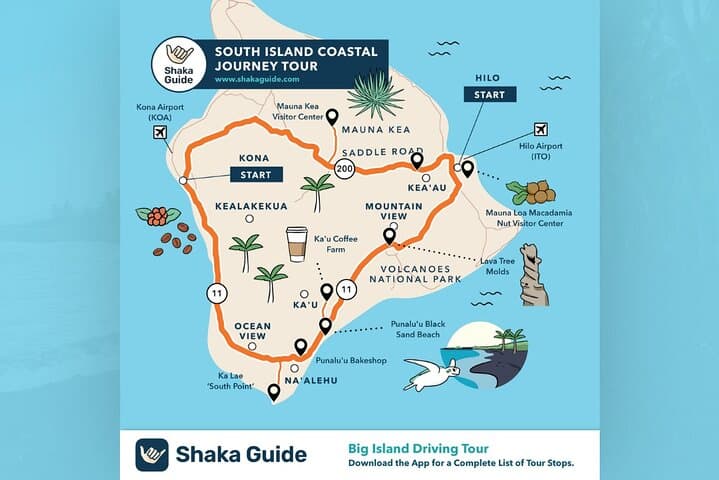
This loop threads sites that shaped Hawai‘i: Captain Cook’s landing near Kealakekua Bay, ancient heiau and the Place of Refuge at Puʻuhonua o Hōnaunau, and the young flows of Hawaiʻi Volcanoes National Park where pāhoehoe and ʻaʻā tell the story of fire and sea. Geology here is recent and visible; olivine-green sand at Papakōlea and lava-tree molds near Pāhala are direct pages from the island’s volcanic biography.
Culture rides alongside geology — local coffee farms, small fishing communities, and cultural centers offer quick, human-scale stops that explain practice and place. The Shaka Guide audio route adds stories, pronunciation, and localized tips so you can connect the dots at your own pace.
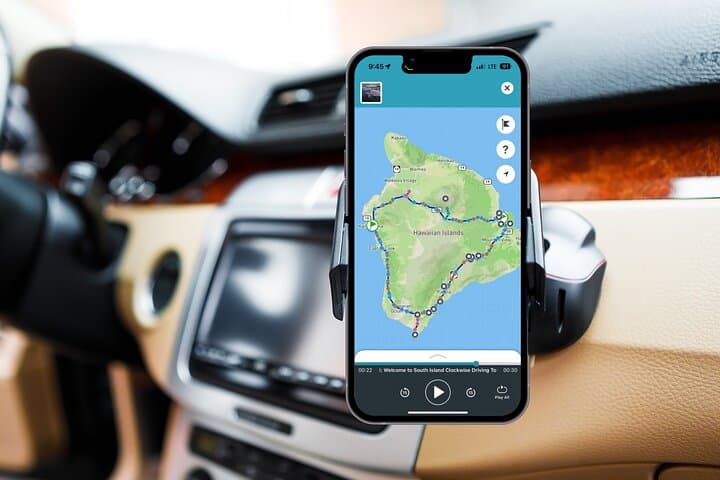
Practical guidance: download the tour over Wi‑Fi, top off your tank, and give yourself at least a half-day to reach key viewpoints; a full loop is best spread across two days to include hiking and sunset. Expect paved roads but variable shoulder widths, intermittent cell service, and short unpaved spurs to beaches. Pack sun protection, water, and a phone charger; respect posted signs at cultural and protected sites and keep a respectful distance from wildlife. This is a driving adventure that rewards curiosity and patience — follow the GPS narration, but leave room to stop when the coast commands your attention.
easy.
6–48 hours.
Suitable for most fitness levels — primarily a driving tour with short walks to viewpoints and beaches.
No — redeem and download the tour in the Shaka Guide app over Wi‑Fi and it will run offline using GPS.
Driving without extended stops can be done in a long day (6–8 hours), but two days lets you explore beaches, parks, and cultural sites at a relaxed pace.
The main coastal roads are paved, but some scenic spurs and the access to certain beaches may be unpaved — a standard car is fine for the loop but avoid low-clearance vehicles on rough spurs.
Yes — the audio format and self-paced nature work well for families; bring car seats for infants and plan restroom stops ahead.
The south coast contains recorded first-contact sites like Captain Cook’s landing zones and ancient coastal refuges used under traditional kapu systems.
Stay on marked paths, avoid collecting rocks or coral, and give marine life space; many coastal areas and reefs are protected and recovering from invasive species and human pressure.
Shaka Guide Apps operates guided outdoor trips and adventures with an emphasis on safety, stewardship, and memorable experiences.
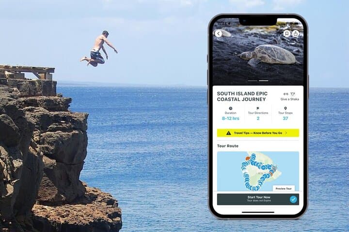
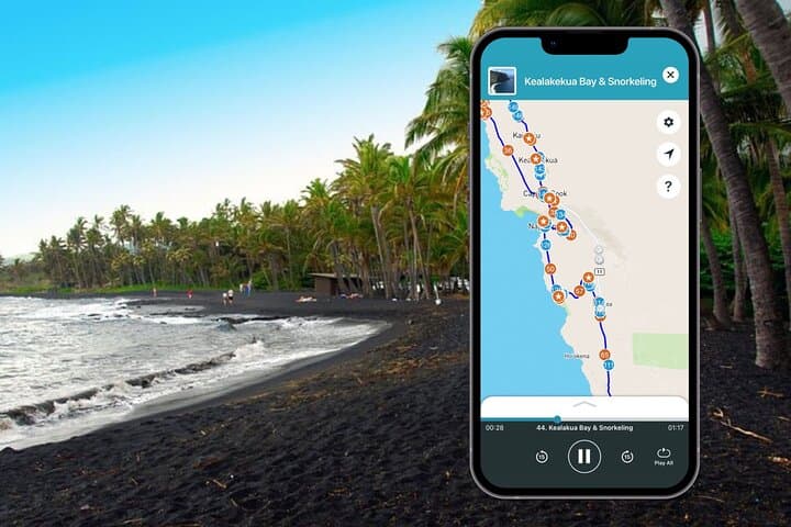
The road curls out of the lowland coffee farms and drops you toward wind-scoured cliffs and black sands. Drive windows down and the ocean dares you forward — surf slashes against carved lava shelves while macadamia groves give way to scrub and coastal pohuehue.
The road curls out of the lowland coffee farms and drops you toward wind-scoured cliffs and black sands. Drive windows down and the ocean dares you forward — surf slashes against carved lava shelves while macadamia groves give way to scrub and coastal pohuehue.
This loop threads sites that shaped Hawai‘i: Captain Cook’s landing near Kealakekua Bay, ancient heiau and the Place of Refuge at Puʻuhonua o Hōnaunau, and the young flows of Hawaiʻi Volcanoes National Park where pāhoehoe and ʻaʻā tell the story of fire and sea. Geology here is recent and visible; olivine-green sand at Papakōlea and lava-tree molds near Pāhala are direct pages from the island’s volcanic biography.
Culture rides alongside geology — local coffee farms, small fishing communities, and cultural centers offer quick, human-scale stops that explain practice and place. The Shaka Guide audio route adds stories, pronunciation, and localized tips so you can connect the dots at your own pace.
Practical guidance: download the tour over Wi‑Fi, top off your tank, and give yourself at least a half-day to reach key viewpoints; a full loop is best spread across two days to include hiking and sunset. Expect paved roads but variable shoulder widths, intermittent cell service, and short unpaved spurs to beaches. Pack sun protection, water, and a phone charger; respect posted signs at cultural and protected sites and keep a respectful distance from wildlife. This is a driving adventure that rewards curiosity and patience — follow the GPS narration, but leave room to stop when the coast commands your attention.