THE ADVENTURE COLLECTIVE® · Independent discovery and booking for outdoor travel

Walk the streets and riverside paths of Betws-y-Coed on a 45–60 minute self-guided tour tracing the village’s role as Britain’s first artists’ colony. Learn how Victorian railways, local geology, and Welsh culture shaped this compact gateway to Snowdonia.
Walk the streets and riverside paths of Betws-y-Coed on a 45–60 minute self-guided tour tracing the village’s role as Britain’s first artists’ colony. Learn how Victorian railways, local geology, and Welsh culture shaped this compact gateway to Snowdonia.
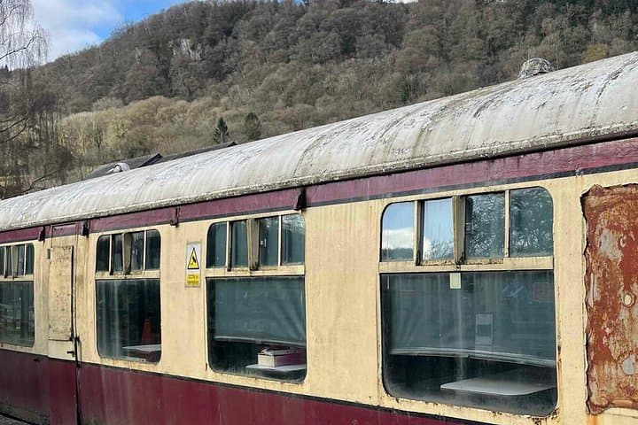
You step off the train and the village opens like a sketchbook: stone streets, a river that edges the town and a timbered station that still smells faintly of coal and rain.
Verified experiences and guided adventures in the surrounding area.
Operated by VoiceMap Audio Tours · Betws-y-Coed, Wales
You step off the train and the village opens like a sketchbook: stone streets, a river that edges the town and a timbered station that still smells faintly of coal and rain.
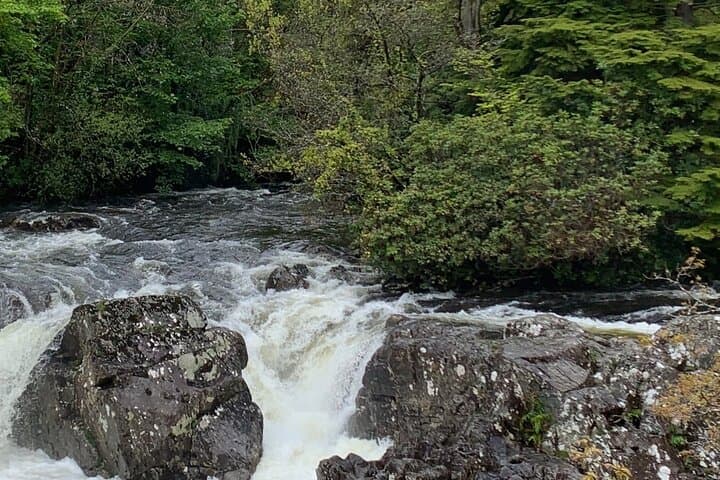
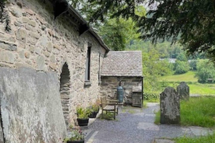
This self-guided loop begins at Betws-y-Coed Railway Station and threads along riverside paths, over Pont-y-Pair and past St Michael’s Old Church, where Victorian visitors once disembarked with sketchbooks in hand. In the 1840s painter David Cox established what became Britain’s first artists’ colony here; the arrival of the railway turned a woodland prayer house into Snowdonia’s gateway for landscape painters and holiday makers.
Geologically the village sits where glacially carved valleys give way to the Conwy River floodplain; the stone architecture reflects slate and local masonry traditions. Gwydir Forest and Llyn Elsi rise on the skyline, offering contrasting upland geology and views back to the village. Welsh language and local crafts still shape the town—small galleries and tearooms line the main street.
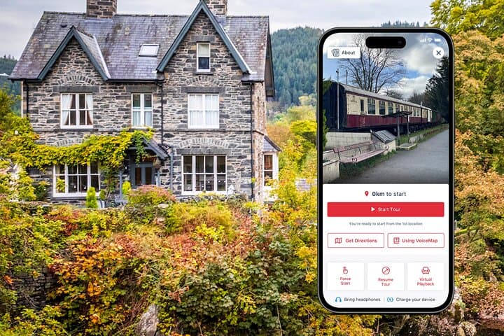
Practical guidance: the route is short (45–60 minutes), largely level on paved or gravel paths, and suitable for all fitness levels. Bring waterproof layers and decent walking shoes—the river and shaded lanes can be slippery after rain. Use offline maps or the tour app for GPS prompts, and aim for early morning or late afternoon for quieter streets and softer light for photography.
Respect private property and the National Park—keep dogs on leads, stick to paths, and pack out litter. The reward is immediate: a compact, walkable village where history, geology and art remain visibly linked to the landscape.
easy.
45–60 minutes.
Light fitness; suitable for most adults and families, minimal elevation change
The self-guided route takes about 45–60 minutes at a relaxed pace and includes stops at several points of interest.
Yes—paths are mostly paved or firm gravel with minimal elevation; families and older visitors typically manage the route comfortably.
Public restrooms are available near the tourist information centre and in the village centre; cafes also provide facilities for customers.
No—this tour provides offline access to audio, maps, and geodata, but download content before you depart to ensure full functionality.
Betws-y-Coed grew into an artists’ colony after David Cox and others painted the landscape in the 1840s; the railway then brought Victorian tourists and wider recognition.
This village lies at Snowdonia’s gateway—stick to marked paths, control dogs near rivers, and support local businesses to keep tourism sustainable.
VoiceMap Audio Tours operates guided outdoor trips and adventures with an emphasis on safety, stewardship, and memorable experiences.
You step off the train and the village opens like a sketchbook: stone streets, a river that edges the town and a timbered station that still smells faintly of coal and rain.
You step off the train and the village opens like a sketchbook: stone streets, a river that edges the town and a timbered station that still smells faintly of coal and rain.
This self-guided loop begins at Betws-y-Coed Railway Station and threads along riverside paths, over Pont-y-Pair and past St Michael’s Old Church, where Victorian visitors once disembarked with sketchbooks in hand. In the 1840s painter David Cox established what became Britain’s first artists’ colony here; the arrival of the railway turned a woodland prayer house into Snowdonia’s gateway for landscape painters and holiday makers.
Geologically the village sits where glacially carved valleys give way to the Conwy River floodplain; the stone architecture reflects slate and local masonry traditions. Gwydir Forest and Llyn Elsi rise on the skyline, offering contrasting upland geology and views back to the village. Welsh language and local crafts still shape the town—small galleries and tearooms line the main street.
Practical guidance: the route is short (45–60 minutes), largely level on paved or gravel paths, and suitable for all fitness levels. Bring waterproof layers and decent walking shoes—the river and shaded lanes can be slippery after rain. Use offline maps or the tour app for GPS prompts, and aim for early morning or late afternoon for quieter streets and softer light for photography.
Respect private property and the National Park—keep dogs on leads, stick to paths, and pack out litter. The reward is immediate: a compact, walkable village where history, geology and art remain visibly linked to the landscape.