THE ADVENTURE COLLECTIVE® · Independent discovery and booking for outdoor travel

Turn central Berlin into an interactive puzzle: a 3 km, self‑guided scavenger hunt that weaves history, architecture, and local lore into a three‑hour urban rally. Use your smartphone to solve clues, learn stories, and see Mitte through fresh eyes.
Turn central Berlin into an interactive puzzle: a 3 km, self‑guided scavenger hunt that weaves history, architecture, and local lore into a three‑hour urban rally. Use your smartphone to solve clues, learn stories, and see Mitte through fresh eyes.
You stand at a broad Berlin pavement, phone in hand, the city’s geometry unfolding: façades that survived war and reinvention, trams threading the curbs, and the Spree nudging the edge of the map. This scavenger hunt turns city streets into a puzzle course—3 km of walking and roughly three hours of questions, clues, and short detours that move you from one landmark to the next.
Verified experiences and guided adventures in the surrounding area.
Operated by townadventure - explore cities playfully · Berlin, Berlin
You stand at a broad Berlin pavement, phone in hand, the city’s geometry unfolding: façades that survived war and reinvention, trams threading the curbs, and the Spree nudging the edge of the map. This scavenger hunt turns city streets into a puzzle course—3 km of walking and roughly three hours of questions, clues, and short detours that move you from one landmark to the next.
Berlin’s story is visible in layers: Prussian boulevards on Unter den Linden, Cold War scars in the skeletal traces of former borders, and post‑1989 bold cultural reinventions in galleries and courtyards. Geologically, you’re on a low glacial plain where the Spree carved a slow, looping route; architecturally the route alternates grand 19th‑century stone and functional postwar blocks. Local culture favors small cafés, multicultural street food, and a conversational pace that rewards curiosity.
Practical guidance: you’ll receive a start link by email and use your smartphone with data to access puzzles and contextual stories. The route is self‑paced and wheelchair accessible; recommended daylight hours are mid‑morning to late afternoon for best sightlines and open cafés. Expect urban sidewalks, occasional cobbles, and short crossings—good footwear and a charged battery are essential. Tips include planning breaks at cafés, using public transport to reach the start, and allowing extra time for photos or longer reads at major sights. The tour finishes around Babelplatz or Unter den Linden; when answers stump you the system provides hints so teams of all ages can keep moving.
This is a social, low‑impact way to learn Berlin’s history and test your team’s observational skills without the constraints of a fixed guided schedule.
easy.
3 hours.
Suitable for most fitness levels; primarily urban walking over short distances and flat terrain.
You’ll receive an email with a start link after booking; open it on your smartphone to begin at the chosen time and follow the mapped route.
Yes—puzzles are adjustable with hints available and the route is rated easy and wheelchair accessible, but plan for a relaxed pace and rest stops.
The system offers progressive hints and can reveal answers so teams can continue without long delays.
Technically yes, but organizers recommend daylight for safety, readable signage, and a fuller experience of sites and cafés.
The route crosses layers of Berlin history—from imperial boulevards to Cold War boundaries and rapid post‑1989 cultural renewal—each stop often links to a 20th‑century turning point.
Respect memorials and public spaces; stay on sidewalks, dispose of litter, and avoid touching sensitive monuments to reduce impact.
townadventure - explore cities playfully operates guided outdoor trips and adventures with an emphasis on safety, stewardship, and memorable experiences.

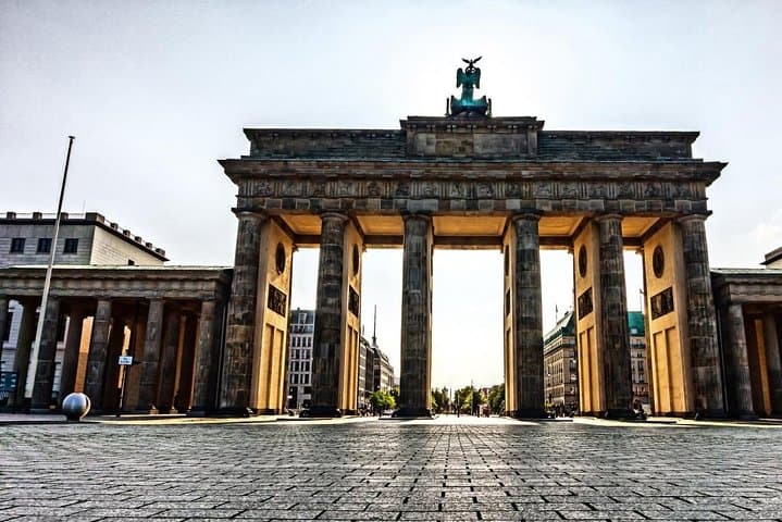
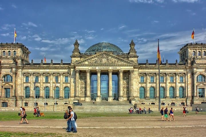
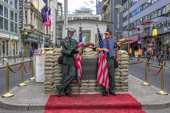
You stand at a broad Berlin pavement, phone in hand, the city’s geometry unfolding: façades that survived war and reinvention, trams threading the curbs, and the Spree nudging the edge of the map. This scavenger hunt turns city streets into a puzzle course—3 km of walking and roughly three hours of questions, clues, and short detours that move you from one landmark to the next.
You stand at a broad Berlin pavement, phone in hand, the city’s geometry unfolding: façades that survived war and reinvention, trams threading the curbs, and the Spree nudging the edge of the map. This scavenger hunt turns city streets into a puzzle course—3 km of walking and roughly three hours of questions, clues, and short detours that move you from one landmark to the next.
Berlin’s story is visible in layers: Prussian boulevards on Unter den Linden, Cold War scars in the skeletal traces of former borders, and post‑1989 bold cultural reinventions in galleries and courtyards. Geologically, you’re on a low glacial plain where the Spree carved a slow, looping route; architecturally the route alternates grand 19th‑century stone and functional postwar blocks. Local culture favors small cafés, multicultural street food, and a conversational pace that rewards curiosity.
Practical guidance: you’ll receive a start link by email and use your smartphone with data to access puzzles and contextual stories. The route is self‑paced and wheelchair accessible; recommended daylight hours are mid‑morning to late afternoon for best sightlines and open cafés. Expect urban sidewalks, occasional cobbles, and short crossings—good footwear and a charged battery are essential. Tips include planning breaks at cafés, using public transport to reach the start, and allowing extra time for photos or longer reads at major sights. The tour finishes around Babelplatz or Unter den Linden; when answers stump you the system provides hints so teams of all ages can keep moving.
This is a social, low‑impact way to learn Berlin’s history and test your team’s observational skills without the constraints of a fixed guided schedule.