THE ADVENTURE COLLECTIVE® · Independent discovery and booking for outdoor travel

A brisk day-hike from Mussoorie that climbs through dense oak and rhododendron to a panoramic high point with Himalayan views. Choose between a 9 km loop or a longer point-to-point for a fuller ridge experience.
A brisk day-hike from Mussoorie that climbs through dense oak and rhododendron to a panoramic high point with Himalayan views. Choose between a 9 km loop or a longer point-to-point for a fuller ridge experience.
You step off the jeeps onto a soft bed of pine needles and the forest swallows the town’s noise. The trail climbs through dense oak and rhododendron, light sliding in slats through the canopy as the path pitches steadily upward. On clear days the air is sharp; from the high point the Greater Himalaya cuts the horizon in white, while the Doon Valley spreads green and geometric below.
Verified experiences and guided adventures in the surrounding area.
Operated by Easy Prime Holidays · Mussoorie, Uttarakhand
You step off the jeeps onto a soft bed of pine needles and the forest swallows the town’s noise. The trail climbs through dense oak and rhododendron, light sliding in slats through the canopy as the path pitches steadily upward. On clear days the air is sharp; from the high point the Greater Himalaya cuts the horizon in white, while the Doon Valley spreads green and geometric below.
The ridge around Benog Tibba is part of the lower Himalaya’s folded strata — sandstone and shale carved by monsoon and frost. Mussoorie’s hill-station history is visible in old stone walls and the way paths were engineered for colonial-era tramping; local culture still orients toward forest resources and seasonal festivals in nearby villages. Birders prize Benog for kalij pheasant, jungle martins and raptors riding thermals; occasional barking deer and red foxes move silently through the understory.
Practical guidance: routes vary from a 9 km round-trip forest loop to a 15 km point-to-point that requires a cab return. Expect 300–600 m of cumulative ascent depending on route; the trail alternates packed dirt, exposed roots and rocky steps. Carry at least 1.5–2 liters of water, sturdy treaded footwear, and windproof layers — mountain weather changes fast. Start early to avoid afternoon clouds and increase chances for long-distance views and wildlife activity. Snacks and a light first-aid kit make for a comfortable outing. Respect gated conservation areas: stay on trail, leave no trace, and keep group sizes manageable to protect this living, breathing hillside.
moderate.
4–4.5 hours.
Moderate fitness; comfortable with sustained uphill walking and up to 15 km distance depending on route
Typical time is 4–4.5 hours. Routes range 9 km (round-trip) to 15 km point-to-point with 300–600 m cumulative ascent; fitness should be moderate.
Entry tickets for domestic tourists are often included with organized trips; independent hikers should check local signage or visitor centers for current fees.
Common sightings include kalij pheasant, jungle martins, raptors, and occasionally barking deer or red foxes; sightings are seasonal and not guaranteed.
October–March brings the clearest Himalayan visibility; spring (March–May) is good for blooms and bird activity; monsoon months can be slippery and fog-prone.
Benog sits within the colonial-era hill routes around Mussoorie; many trails follow old pack paths used by local communities and early visitors.
Trails pass through sensitive forest; practice leave-no-trace, stick to designated paths and avoid feeding wildlife to minimize disturbance.
Easy Prime Holidays operates guided outdoor trips and adventures with an emphasis on safety, stewardship, and memorable experiences.
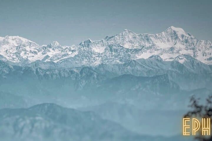
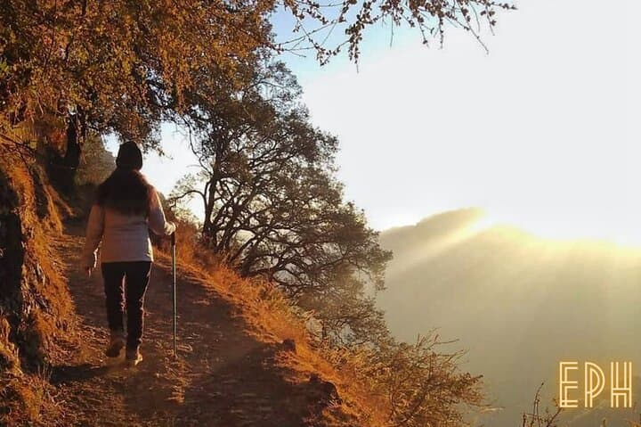
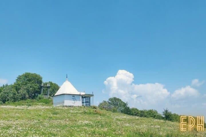
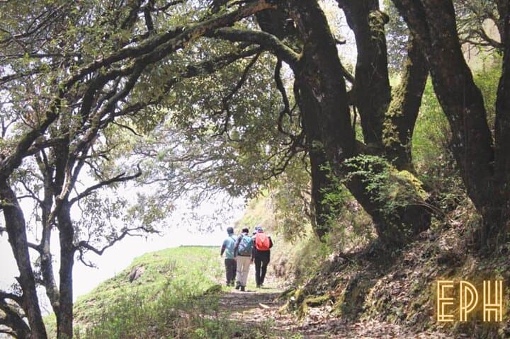
You step off the jeeps onto a soft bed of pine needles and the forest swallows the town’s noise. The trail climbs through dense oak and rhododendron, light sliding in slats through the canopy as the path pitches steadily upward. On clear days the air is sharp; from the high point the Greater Himalaya cuts the horizon in white, while the Doon Valley spreads green and geometric below.
You step off the jeeps onto a soft bed of pine needles and the forest swallows the town’s noise. The trail climbs through dense oak and rhododendron, light sliding in slats through the canopy as the path pitches steadily upward. On clear days the air is sharp; from the high point the Greater Himalaya cuts the horizon in white, while the Doon Valley spreads green and geometric below.
The ridge around Benog Tibba is part of the lower Himalaya’s folded strata — sandstone and shale carved by monsoon and frost. Mussoorie’s hill-station history is visible in old stone walls and the way paths were engineered for colonial-era tramping; local culture still orients toward forest resources and seasonal festivals in nearby villages. Birders prize Benog for kalij pheasant, jungle martins and raptors riding thermals; occasional barking deer and red foxes move silently through the understory.
Practical guidance: routes vary from a 9 km round-trip forest loop to a 15 km point-to-point that requires a cab return. Expect 300–600 m of cumulative ascent depending on route; the trail alternates packed dirt, exposed roots and rocky steps. Carry at least 1.5–2 liters of water, sturdy treaded footwear, and windproof layers — mountain weather changes fast. Start early to avoid afternoon clouds and increase chances for long-distance views and wildlife activity. Snacks and a light first-aid kit make for a comfortable outing. Respect gated conservation areas: stay on trail, leave no trace, and keep group sizes manageable to protect this living, breathing hillside.