THE ADVENTURE COLLECTIVE® · Independent discovery and booking for outdoor travel

Climb Britain’s highest peak with local guides who manage pace, safety, and route-finding on the Mountain Track. Expect a long, weather-dependent day of rocky paths, sweeping valley views, and a summit that rewards persistence.
Climb Britain’s highest peak with local guides who manage pace, safety, and route-finding on the Mountain Track. Expect a long, weather-dependent day of rocky paths, sweeping valley views, and a summit that rewards persistence.
A damp wind pushes up the trail as the valley opens and Ben Nevis grows from a distant block of rock to a looming, cloud-scraped dome. Walkers gather at the Glen Nevis visitor centre, boots settling into the churned track, backpacks tightening — the mountain does not demand haste but it does demand respect.
Verified experiences and guided adventures in the surrounding area.
Operated by Elite Guides · Fort William, Highland
A damp wind pushes up the trail as the valley opens and Ben Nevis grows from a distant block of rock to a looming, cloud-scraped dome. Walkers gather at the Glen Nevis visitor centre, boots settling into the churned track, backpacks tightening — the mountain does not demand haste but it does demand respect.
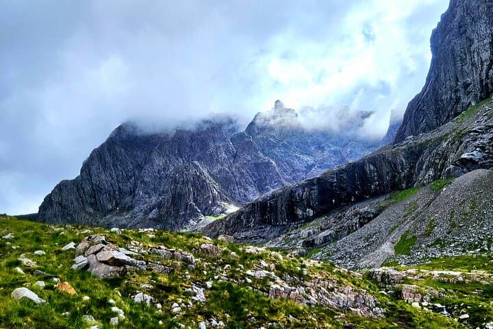
The route follows the classic Mountain Track first forged for pony transport in the 19th century; above the tree line the ground changes from peat and burn-slick rock to eroded scree and boulder. Ben Nevis, at 1,345 metres, was once home to a meteorological observatory (1883–1904) that recorded some of Britain’s earliest systematic mountain weather data. Geologically it’s a remnant of an ancient volcano — granite and schist shaped by glaciers that carved the surrounding corries.
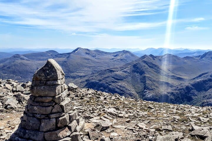
Culturally, Fort William remains the practical base — a town long linked to hillcraft and Highland guiding. Local guides will point out Steall Falls across the valley and the little stone summit shelter that offers temporary refuge when the wind tightens.
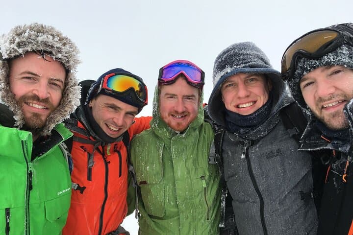
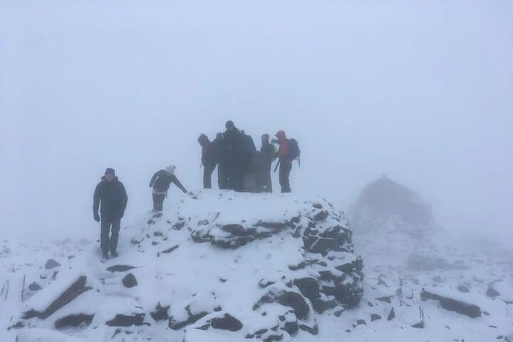
Practical guidance: expect 6–9 hours round-trip and roughly 17 km with ~1,345 m ascent. Wear stiff-soled boots, waterproof layers, and carry 2–3 litres of water and high-energy food; weather can flip to white-out fast. If visibility falls, the track requires basic navigation and steady pacing; guides set sensible groups and regular rests. Leave no trace — stick to the path to protect fragile montane vegetation. Bookings are popular in summer; in winter the route becomes an alpine outing requiring winter kit and experience. Plan for changeable conditions, and treat the summit as earned rather than guaranteed.
challenging.
6–9 hours.
Suitable for hikers with good cardiovascular fitness and regular hill-walking experience; expect sustained ascent and uneven terrain.
Expect 6–9 hours round-trip depending on weather and group fitness — guides set a conservative pace with regular breaks.
Participants should have moderate hillwalking experience and be comfortable on steep, uneven ground; guides assist with navigation but not basic fitness.
Guides monitor conditions and may postpone, alter the route, or turn back if safety is at risk; cancellations are possible if severe weather occurs.
Coverage is intermittent; some signal exists near Fort William and lower slopes but expect no reliable service on the upper mountain.
Ben Nevis hosted a meteorological observatory from 1883–1904; its data helped early understanding of mountain weather in Britain.
High footfall causes path erosion and fragile vegetation loss; keep to the established track, pack out waste, and follow Leave No Trace principles.
Elite Guides operates guided outdoor trips and adventures with an emphasis on safety, stewardship, and memorable experiences.
A damp wind pushes up the trail as the valley opens and Ben Nevis grows from a distant block of rock to a looming, cloud-scraped dome. Walkers gather at the Glen Nevis visitor centre, boots settling into the churned track, backpacks tightening — the mountain does not demand haste but it does demand respect.
A damp wind pushes up the trail as the valley opens and Ben Nevis grows from a distant block of rock to a looming, cloud-scraped dome. Walkers gather at the Glen Nevis visitor centre, boots settling into the churned track, backpacks tightening — the mountain does not demand haste but it does demand respect.
The route follows the classic Mountain Track first forged for pony transport in the 19th century; above the tree line the ground changes from peat and burn-slick rock to eroded scree and boulder. Ben Nevis, at 1,345 metres, was once home to a meteorological observatory (1883–1904) that recorded some of Britain’s earliest systematic mountain weather data. Geologically it’s a remnant of an ancient volcano — granite and schist shaped by glaciers that carved the surrounding corries.
Culturally, Fort William remains the practical base — a town long linked to hillcraft and Highland guiding. Local guides will point out Steall Falls across the valley and the little stone summit shelter that offers temporary refuge when the wind tightens.
Practical guidance: expect 6–9 hours round-trip and roughly 17 km with ~1,345 m ascent. Wear stiff-soled boots, waterproof layers, and carry 2–3 litres of water and high-energy food; weather can flip to white-out fast. If visibility falls, the track requires basic navigation and steady pacing; guides set sensible groups and regular rests. Leave no trace — stick to the path to protect fragile montane vegetation. Bookings are popular in summer; in winter the route becomes an alpine outing requiring winter kit and experience. Plan for changeable conditions, and treat the summit as earned rather than guaranteed.