THE ADVENTURE COLLECTIVE® · Independent discovery and booking for outdoor travel

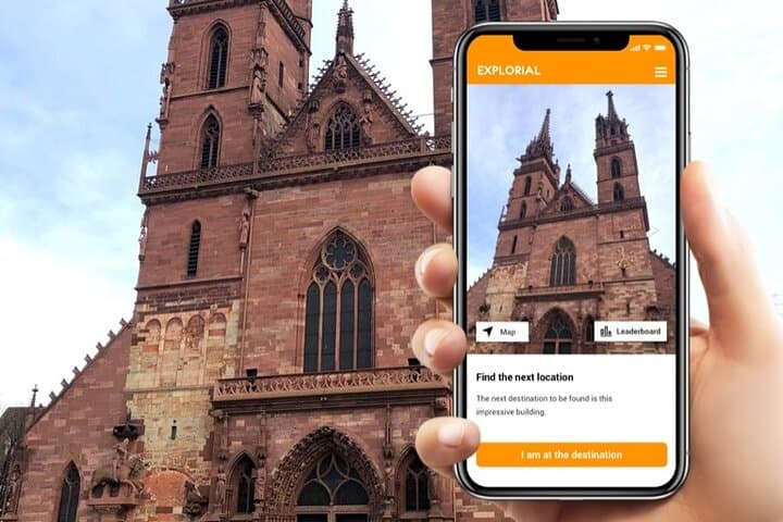
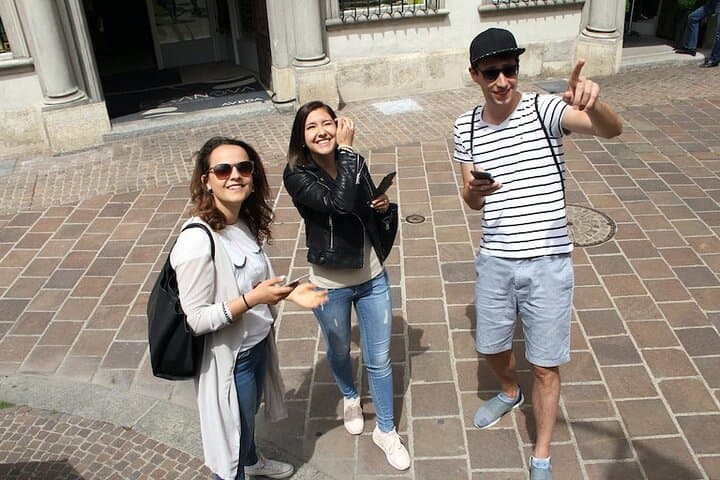
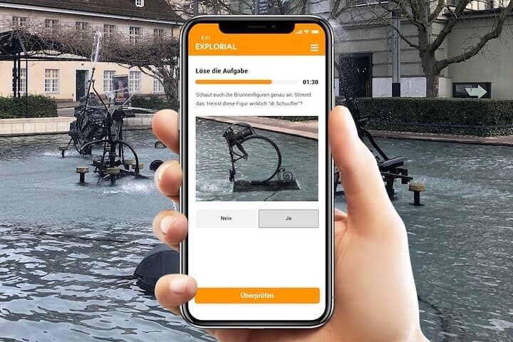
Turn Basel into a playable map: solve clues that lead to the Minster, Tinguely fountain and Rathaus while exploring alleys and riverfront at your own pace. This self-guided scavenger hunt blends sightseeing with puzzles—ideal for first-time visitors and curious locals.
Turn Basel into a playable map: solve clues that lead to the Minster, Tinguely fountain and Rathaus while exploring alleys and riverfront at your own pace. This self-guided scavenger hunt blends sightseeing with puzzles—ideal for first-time visitors and curious locals.
You step from the river breeze into a square where fountains click and the Minster's red sandstone casts a cool shadow. The Rhine murmurs nearby, daring you to follow its curve while trams hum past—this is Basel arranged as a puzzle, where clues point to narrow lanes, civic frescoes and a mechanized fountain that laughs back at you.
Verified experiences and guided adventures in the surrounding area.
Operated by Explorial · Basel, Basel-Stadt
You step from the river breeze into a square where fountains click and the Minster's red sandstone casts a cool shadow. The Rhine murmurs nearby, daring you to follow its curve while trams hum past—this is Basel arranged as a puzzle, where clues point to narrow lanes, civic frescoes and a mechanized fountain that laughs back at you.
The route threads Roman and medieval layers: a Roman settlement grew into a medieval trade hub that rebuilt its cathedral after earthquakes and kept a proud Renaissance Rathaus. Geologically the city sits on Rhine alluvium with the Jura hills visible to the north—a flat, walkable center that becomes a stage for Basel’s multilingual culture, from German market calls to museum placards in English and French. The scavenger-hunt format highlights both landmarks and small civic quirks: a sculpted fountain by Tinguely, the Minster’s cloister, the painted Rathaus façade and narrow Spalenberg alleys.
Practically, expect cobbles, urban pavement and short stair sections; total distance typically 2–4 km with negligible elevation gain and an average time of 60–120 minutes at your own pace. Download the app and load the access code before you start, keep your phone charged, and allow extra time for photography tasks. Watch tramlines and traffic when crossing, carry a light rain layer in spring/fall, and use public transit to return if you explore further. This is a low‑impact, family‑friendly way to learn Basel’s urban story while moving through it on your own schedule.
easy.
1–2 hours.
Suitable for most fitness levels; requires only short periods of walking and standing.
Start at the indicated central meeting point shown in the app (usually near the Rhine or a major square); since it’s self-guided you can finish wherever convenient and return by tram.
The experience supports English, German, Spanish, Italian and French—select your language in the app before you begin.
Much of the city center is flat, but there are cobbled streets and short steps; travelers with mobility concerns should check specific waypoints in the app and plan an adapted route.
You receive an access code on purchase and can use it at your convenience; typical completion time is 1–2 hours but you may take longer at your own pace.
Basel grew from a Roman settlement into a medieval trading center; its cathedral and Rathaus reflect centuries of rebuilding and civic pride tied to river commerce.
Basel’s historic core is sensitive—avoid touching frescoes, respect signage, dispose of waste properly, and use public transit to reduce local traffic impact.
Explorial operates guided outdoor trips and adventures with an emphasis on safety, stewardship, and memorable experiences.
You step from the river breeze into a square where fountains click and the Minster's red sandstone casts a cool shadow. The Rhine murmurs nearby, daring you to follow its curve while trams hum past—this is Basel arranged as a puzzle, where clues point to narrow lanes, civic frescoes and a mechanized fountain that laughs back at you.
You step from the river breeze into a square where fountains click and the Minster's red sandstone casts a cool shadow. The Rhine murmurs nearby, daring you to follow its curve while trams hum past—this is Basel arranged as a puzzle, where clues point to narrow lanes, civic frescoes and a mechanized fountain that laughs back at you.
The route threads Roman and medieval layers: a Roman settlement grew into a medieval trade hub that rebuilt its cathedral after earthquakes and kept a proud Renaissance Rathaus. Geologically the city sits on Rhine alluvium with the Jura hills visible to the north—a flat, walkable center that becomes a stage for Basel’s multilingual culture, from German market calls to museum placards in English and French. The scavenger-hunt format highlights both landmarks and small civic quirks: a sculpted fountain by Tinguely, the Minster’s cloister, the painted Rathaus façade and narrow Spalenberg alleys.
Practically, expect cobbles, urban pavement and short stair sections; total distance typically 2–4 km with negligible elevation gain and an average time of 60–120 minutes at your own pace. Download the app and load the access code before you start, keep your phone charged, and allow extra time for photography tasks. Watch tramlines and traffic when crossing, carry a light rain layer in spring/fall, and use public transit to return if you explore further. This is a low‑impact, family‑friendly way to learn Basel’s urban story while moving through it on your own schedule.