THE ADVENTURE COLLECTIVE® · Independent discovery and booking for outdoor travel

Walk from homestay doorsteps into river valleys and karst cliffs on a two-day trek to Ban Gioc Waterfall. Combine easy hiking with village visits, a cave tour and a close boat approach to the falls.
Walk from homestay doorsteps into river valleys and karst cliffs on a two-day trek to Ban Gioc Waterfall. Combine easy hiking with village visits, a cave tour and a close boat approach to the falls.
Dawn breaks over limestone ridges as mist lifts from the Quay Son River; hikers step out from a family homestay and follow narrow trails that thread through terraced rice fields toward the roar of Ban Gioc.
Verified experiences and guided adventures in the surrounding area.
Operated by Red Gecko Travel · Cao Bang, Cao Bang Province
Dawn breaks over limestone ridges as mist lifts from the Quay Son River; hikers step out from a family homestay and follow narrow trails that thread through terraced rice fields toward the roar of Ban Gioc.
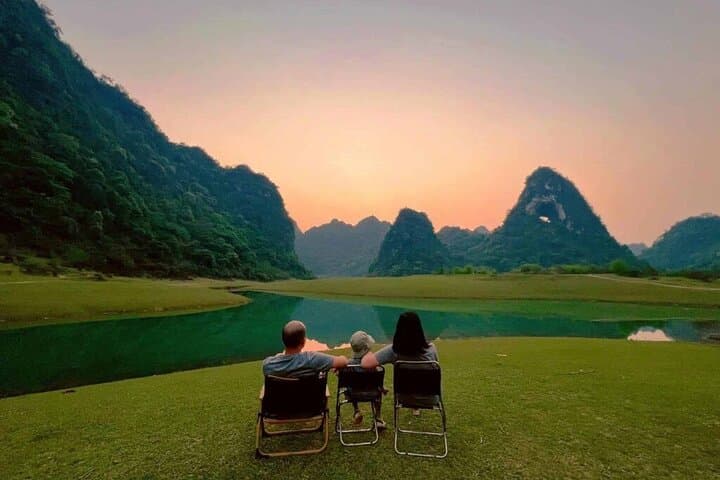
This two-day, one-night trek moves through Cao Bang — a UNESCO-recognized Global Geopark — where karst geology sculpts caves and multi-tiered falls and ethnic Tay, Nùng, Dao and H'Mong villages punctuate the landscape. Ngao (Tiger) Cave displays stalactites and columns formed over millennia; the Quay Son River dares you to follow its reflections toward the Vietnam–China border. Cultural stops include Tay stone houses and a Truc Lam Zen pagoda viewpoint with sweeping perspectives of the waterfall and borderlands.
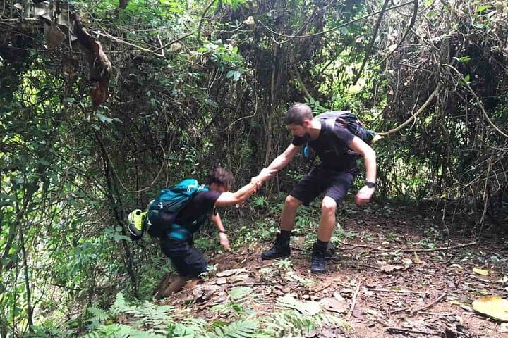
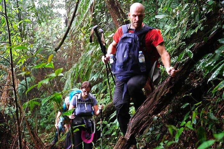
Expect roughly 10–15 km of walking across two days on mixed terrain: riverbanks, stone paths, rice terraces and short forest climbs with cumulative elevation gains of a few hundred meters to viewpoints. Boat rides near the falls bring cool spray and photo opportunities.
Practically, travelers should carry Vietnamese dong for village purchases, bring layered rain protection, and be prepared for basic homestay facilities. Guides handle logistics, meals and local transport, but guests should be ready for uneven steps and wet surfaces around the falls. The best daylight for photography is mid-morning and late afternoon when contrast softens.
This trek balances gentle hiking with deep cultural contact — an accessible way to experience Cao Bang’s geology, rivers and village life while supporting local homestays and responsible travel practices.
moderate.
2 days (approx. 48 hours).
Suitable for travelers with a moderate fitness level who can handle 5–10 km days on uneven terrain and short climbs.
The itinerary is classified easy–moderate; trails are generally short but uneven—expect 10–15 km over two days with some short climbs to viewpoints.
No border crossing is required; the route runs along the Vietnam side with views of the China border fence from certain river sections.
Homestays are basic but clean, offering shared bathrooms and local meals; small comforts are provided but prepare for simple, authentic accommodations.
Standard Vietnam visa rules apply; no special permits are normally required for the tourist route, but carry passport copies and follow guide advice near sensitive border areas.
Cao Bang’s karst landscape and borderland villages have long hosted Tay, Nùng and H'mong communities; the area’s geology is part of a UNESCO Global Geopark designation.
Support village homestays and follow leave-no-trace practices; avoid single-use plastics and respect local farming plots and riverbanks to minimize impact.
Red Gecko Travel operates guided outdoor trips and adventures with an emphasis on safety, stewardship, and memorable experiences.
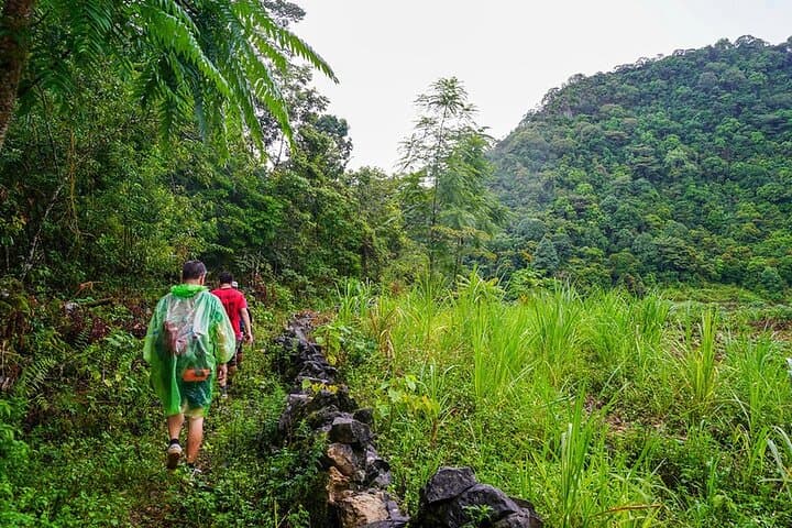
Dawn breaks over limestone ridges as mist lifts from the Quay Son River; hikers step out from a family homestay and follow narrow trails that thread through terraced rice fields toward the roar of Ban Gioc.
Dawn breaks over limestone ridges as mist lifts from the Quay Son River; hikers step out from a family homestay and follow narrow trails that thread through terraced rice fields toward the roar of Ban Gioc.
This two-day, one-night trek moves through Cao Bang — a UNESCO-recognized Global Geopark — where karst geology sculpts caves and multi-tiered falls and ethnic Tay, Nùng, Dao and H'Mong villages punctuate the landscape. Ngao (Tiger) Cave displays stalactites and columns formed over millennia; the Quay Son River dares you to follow its reflections toward the Vietnam–China border. Cultural stops include Tay stone houses and a Truc Lam Zen pagoda viewpoint with sweeping perspectives of the waterfall and borderlands.
Expect roughly 10–15 km of walking across two days on mixed terrain: riverbanks, stone paths, rice terraces and short forest climbs with cumulative elevation gains of a few hundred meters to viewpoints. Boat rides near the falls bring cool spray and photo opportunities.
Practically, travelers should carry Vietnamese dong for village purchases, bring layered rain protection, and be prepared for basic homestay facilities. Guides handle logistics, meals and local transport, but guests should be ready for uneven steps and wet surfaces around the falls. The best daylight for photography is mid-morning and late afternoon when contrast softens.
This trek balances gentle hiking with deep cultural contact — an accessible way to experience Cao Bang’s geology, rivers and village life while supporting local homestays and responsible travel practices.