THE ADVENTURE COLLECTIVE® · Independent discovery and booking for outdoor travel

Float beneath Austin’s skyline and down Barton Creek to a popular swimming hole. This guided kayak tour mixes city views, natural limestone features, and a waterfront lunch at a rope‑swinging swim spot.
Float beneath Austin’s skyline and down Barton Creek to a popular swimming hole. This guided kayak tour mixes city views, natural limestone features, and a waterfront lunch at a rope‑swinging swim spot.
The skyline slides into view like a folding map as paddles cut through slow water — glassy reflections of glass towers, an owl-faced façade, and the staggered silhouette of the Austonian passing overhead. Participants launch beneath an I‑35 overpass and float west along the creek corridor, the city’s hum softening to bird calls and the occasional splash as the river dares you to slow down.
Verified experiences and guided adventures in the surrounding area.
Operated by Lone Star Kayak Tours · Austin, Texas
The skyline slides into view like a folding map as paddles cut through slow water — glassy reflections of glass towers, an owl-faced façade, and the staggered silhouette of the Austonian passing overhead. Participants launch beneath an I‑35 overpass and float west along the creek corridor, the city’s hum softening to bird calls and the occasional splash as the river dares you to slow down.
Barton Creek is a remnant of central Texas’ limestone-drained watershed carved through Austin’s Blackland Prairies and Edwards Plateau outcrops. The route skirts neighborhoods and historic sites: floodplain oaks, limestone bluffs, and places where early settlers and Indigenous peoples used seasonal springs. Guides layer local anecdotes with geology — explaining how karst fractures funnel stormwater and shape the creek’s swimming holes.
Expect a mix of urban river running and leafy green breaks: floating past Commerce and skyline markers, then pausing at a gravelly swim hole framed by oaks and rope swings. Wildlife is conspicuous — turtles sunning on logs, herons stalking the shallows — and guides will talk about water quality, invasive plants, and community stewardship programs that keep Barton Creek swimmable.
Practical guidance: wear quick-dry clothing and closed-toe water shoes, bring a dry bag for electronics, and plan for 3–4 hours on the water including a staffed lunch stop. Summer afternoons can get hot; mornings offer calmer water and fewer boats. The outing is low-impact but dependent on creek levels — operators may cancel in high flow or poor weather. Bring ID for check-in, expect an introductory paddle briefing, and be prepared for shallow sections where you may need to push off rocks.
easy.
3–4 hours.
Suitable for people in average fitness; comfortable paddling for prolonged periods and short walks if needed.
No — guides provide a safety briefing and basic paddle instruction; the tour is designed for beginners and casual paddlers.
Yes — store electronics in a dry bag or use a waterproof case; expect splashes and possible brief submersion when swimming.
Yes — organizers cancel for heavy rain, high creek flows, or unsafe conditions; check your booking 24 hours prior for updates.
Meeting and launch areas are advertised as accessible; contact the operator ahead of time to confirm accommodations for mobility needs.
Barton Creek flows through lands historically used by Indigenous groups and later 19th-century settlers; the corridor later became a recreation focus as Austin grew.
Local nonprofits monitor water quality and organize creek cleanups; visitors are asked to pack out trash and avoid disturbing riparian vegetation.
Lone Star Kayak Tours operates guided outdoor trips and adventures with an emphasis on safety, stewardship, and memorable experiences.
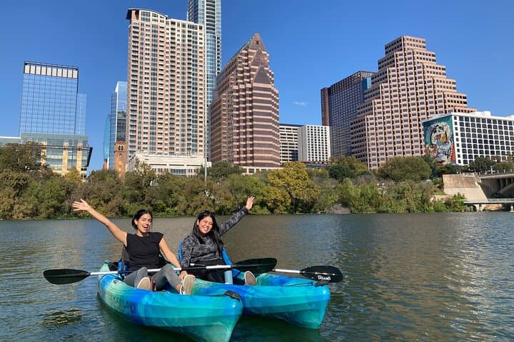
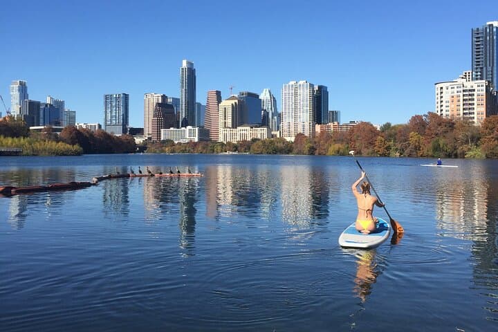
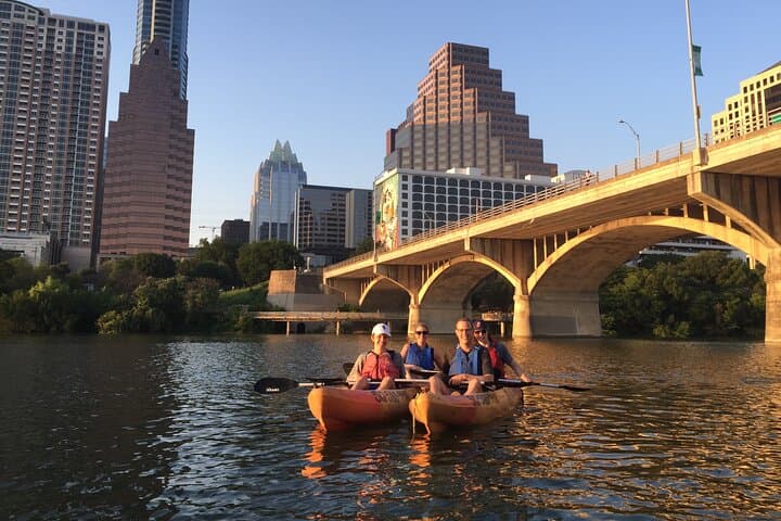
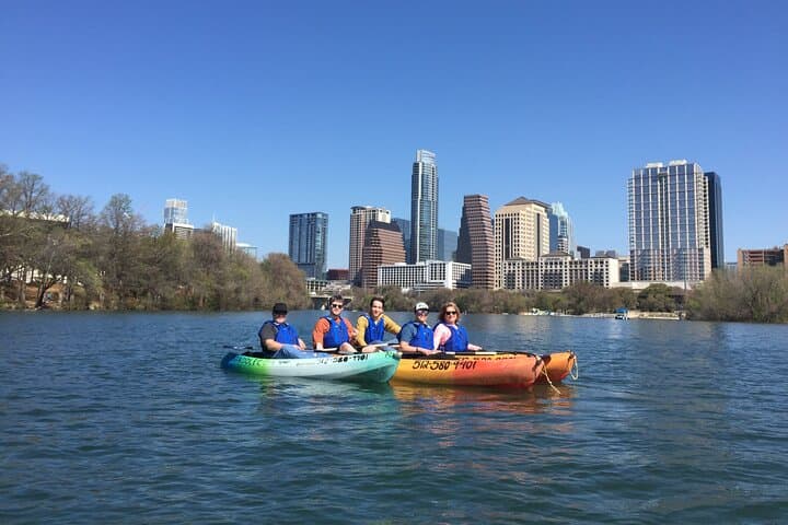
The skyline slides into view like a folding map as paddles cut through slow water — glassy reflections of glass towers, an owl-faced façade, and the staggered silhouette of the Austonian passing overhead. Participants launch beneath an I‑35 overpass and float west along the creek corridor, the city’s hum softening to bird calls and the occasional splash as the river dares you to slow down.
The skyline slides into view like a folding map as paddles cut through slow water — glassy reflections of glass towers, an owl-faced façade, and the staggered silhouette of the Austonian passing overhead. Participants launch beneath an I‑35 overpass and float west along the creek corridor, the city’s hum softening to bird calls and the occasional splash as the river dares you to slow down.
Barton Creek is a remnant of central Texas’ limestone-drained watershed carved through Austin’s Blackland Prairies and Edwards Plateau outcrops. The route skirts neighborhoods and historic sites: floodplain oaks, limestone bluffs, and places where early settlers and Indigenous peoples used seasonal springs. Guides layer local anecdotes with geology — explaining how karst fractures funnel stormwater and shape the creek’s swimming holes.
Expect a mix of urban river running and leafy green breaks: floating past Commerce and skyline markers, then pausing at a gravelly swim hole framed by oaks and rope swings. Wildlife is conspicuous — turtles sunning on logs, herons stalking the shallows — and guides will talk about water quality, invasive plants, and community stewardship programs that keep Barton Creek swimmable.
Practical guidance: wear quick-dry clothing and closed-toe water shoes, bring a dry bag for electronics, and plan for 3–4 hours on the water including a staffed lunch stop. Summer afternoons can get hot; mornings offer calmer water and fewer boats. The outing is low-impact but dependent on creek levels — operators may cancel in high flow or poor weather. Bring ID for check-in, expect an introductory paddle briefing, and be prepared for shallow sections where you may need to push off rocks.