THE ADVENTURE COLLECTIVE® · Independent discovery and booking for outdoor travel

A full-day, demanding trek from Imlil that climbs to Tizi n’Tamaterte and crosses Berber villages and river valleys. Expect 8 hours of walking, steep passes, panoramic ridge views, and a riverside lunch backdropped by the High Atlas.
A full-day, demanding trek from Imlil that climbs to Tizi n’Tamaterte and crosses Berber villages and river valleys. Expect 8 hours of walking, steep passes, panoramic ridge views, and a riverside lunch backdropped by the High Atlas.
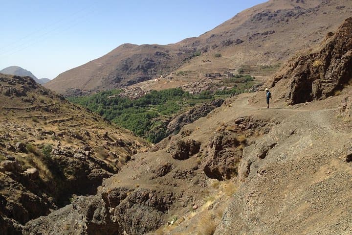
You step out of the minivan and the air changes — cooler, thinner, scented with thyme and smoke from village hearths. The path climbs immediately above Imlil (1,740 m), switchbacking through stone houses and terraced fields until the skyline opens to the Tizi n’Tamaterte at roughly 2,379 m. From that ridge the valleys drop away: Imlil’s cultivated slopes on one side, the wild Imnane valley on the other.
Verified experiences and guided adventures in the surrounding area.
Operated by Marrakech Atlas Day Tours · Imlil, Marrakech-Safi
You step out of the minivan and the air changes — cooler, thinner, scented with thyme and smoke from village hearths. The path climbs immediately above Imlil (1,740 m), switchbacking through stone houses and terraced fields until the skyline opens to the Tizi n’Tamaterte at roughly 2,379 m. From that ridge the valleys drop away: Imlil’s cultivated slopes on one side, the wild Imnane valley on the other.
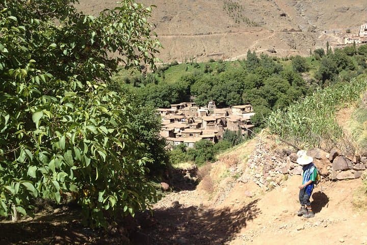
This route follows centuries-old mule tracks that linked Berber villages; the dry, folded rock here records the Atlas Mountains’ uplift where African and Eurasian plates met. Villagers tend steep terraces and spring-fed irrigation channels, and you’ll pass small shrines and tea stops where guides offer sweet mint tea — a cultural anchor in a landscape shaped by elevation and water.
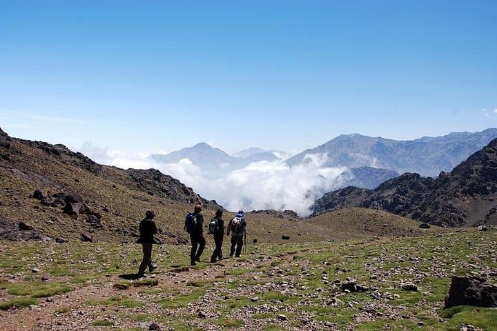
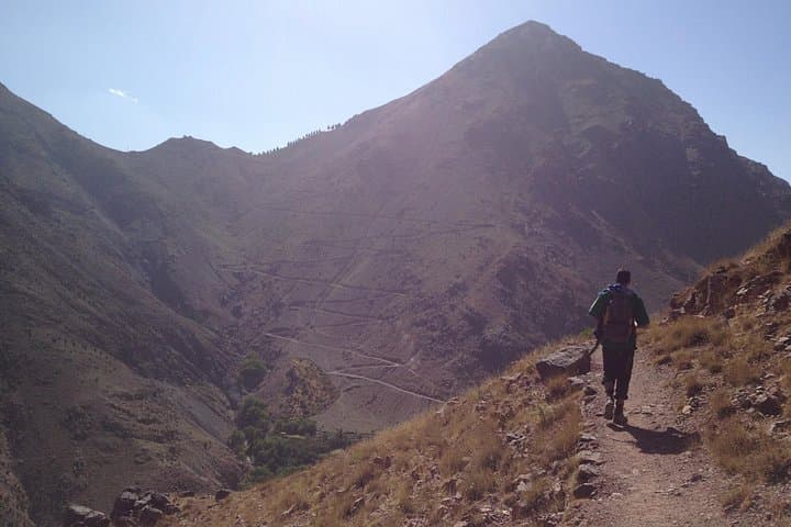
Expect varied terrain: packed dirt, rocky steps, and grassy ledges. The core challenge is sustained ascent and descent across two passes, totaling around 700–900 m of cumulative elevation change and roughly 16–20 km of walking over eight hours. The reward is panoramic views, river-side lunches, and close contact with Berber village life.
Practical notes: start early to avoid heat on exposed sections; bring 2–3 liters of water, sun protection, and sturdy ankle-support boots. Fitness matters — this is a long, continuous day-hike at altitude. Guides provide transport, lunch, and local knowledge, but pack winds and weather can change quickly above 2,000 m, so layer up. If you want a full taste of High Atlas life in a single demanding day, this trail delivers.
challenging.
7–9 hours.
Suited to fit hikers who regularly do long day hikes and have good cardiovascular fitness; comfortable with sustained ascents and descents.
This is a challenging day hike: expect 16–20 km and ~700–900 m cumulative elevation change; regular hikers who do 10–15 km with hills should be prepared.
Private transport from Marrakech, an English- or French-speaking guide, lunch, Berber tea, and return transfer to Marrakech are included.
Starting at 1,740 m and peaking near 2,379 m, acute altitude sickness is uncommon but hydration, slow pacing, and prior rest are important; those with cardiovascular issues should consult a doctor.
Bookings require a minimum of two people; child rates apply only when sharing with two paying adults and fitness/age suitability is assessed by the operator.
The High Atlas has long been inhabited by Berber communities using mule tracks to connect seasonal pastures and hamlets; many routes were trade and communication corridors for centuries.
Stick to marked paths, avoid disturbing terraces and water sources, and pack out waste; local guides work with villages to minimize visitor impact and support community tourism.
Marrakech Atlas Day Tours operates guided outdoor trips and adventures with an emphasis on safety, stewardship, and memorable experiences.
You step out of the minivan and the air changes — cooler, thinner, scented with thyme and smoke from village hearths. The path climbs immediately above Imlil (1,740 m), switchbacking through stone houses and terraced fields until the skyline opens to the Tizi n’Tamaterte at roughly 2,379 m. From that ridge the valleys drop away: Imlil’s cultivated slopes on one side, the wild Imnane valley on the other.
You step out of the minivan and the air changes — cooler, thinner, scented with thyme and smoke from village hearths. The path climbs immediately above Imlil (1,740 m), switchbacking through stone houses and terraced fields until the skyline opens to the Tizi n’Tamaterte at roughly 2,379 m. From that ridge the valleys drop away: Imlil’s cultivated slopes on one side, the wild Imnane valley on the other.
This route follows centuries-old mule tracks that linked Berber villages; the dry, folded rock here records the Atlas Mountains’ uplift where African and Eurasian plates met. Villagers tend steep terraces and spring-fed irrigation channels, and you’ll pass small shrines and tea stops where guides offer sweet mint tea — a cultural anchor in a landscape shaped by elevation and water.
Expect varied terrain: packed dirt, rocky steps, and grassy ledges. The core challenge is sustained ascent and descent across two passes, totaling around 700–900 m of cumulative elevation change and roughly 16–20 km of walking over eight hours. The reward is panoramic views, river-side lunches, and close contact with Berber village life.
Practical notes: start early to avoid heat on exposed sections; bring 2–3 liters of water, sun protection, and sturdy ankle-support boots. Fitness matters — this is a long, continuous day-hike at altitude. Guides provide transport, lunch, and local knowledge, but pack winds and weather can change quickly above 2,000 m, so layer up. If you want a full taste of High Atlas life in a single demanding day, this trail delivers.