THE ADVENTURE COLLECTIVE® · Independent discovery and booking for outdoor travel

Climb Atitlán Volcano for a dramatic, full-day ascent above Lake Atitlán. Expect steep volcanic terrain, panoramic summit views, and a cultural connection with Tz'utujil lakeshore towns.
Climb Atitlán Volcano for a dramatic, full-day ascent above Lake Atitlán. Expect steep volcanic terrain, panoramic summit views, and a cultural connection with Tz'utujil lakeshore towns.
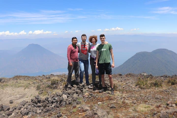
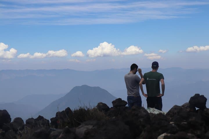
You step off the shuttle into a chill that smells of damp pine and volcanic stone; ahead, the cone of Atitlán slices into the sky, rimmed with crater dust and cloud. The trail climbs away from lakeshore villages through coffee terraces, a band of secondary forest, then into the rocky, wind-scoured upper slopes where each switchback reveals a broader sweep of Lake Atitlán and its ring of volcanoes.
Verified experiences and guided adventures in the surrounding area.
Operated by Tours / Activities SA ((T&ASA)) · Santiago Atitlán, Sololá
You step off the shuttle into a chill that smells of damp pine and volcanic stone; ahead, the cone of Atitlán slices into the sky, rimmed with crater dust and cloud. The trail climbs away from lakeshore villages through coffee terraces, a band of secondary forest, then into the rocky, wind-scoured upper slopes where each switchback reveals a broader sweep of Lake Atitlán and its ring of volcanoes.
Geology and history are plain on the route: Atitlán is a stratovolcano rising to roughly 3,537 m with a 250 m-wide crater and fissures from an 1853 eruption. The slopes are part of the Guatemalan volcanic chain that shaped the highland Mayan world; local Tz'utujil communities still farm the lower flanks and guide visitors, blending living culture with the mountain’s story.
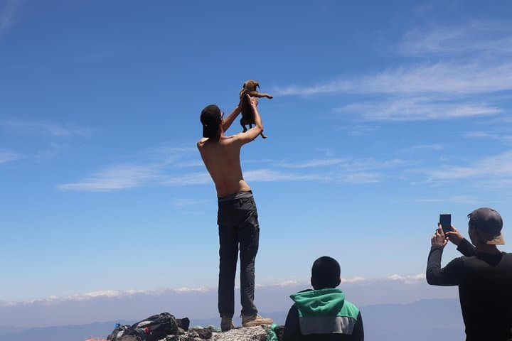
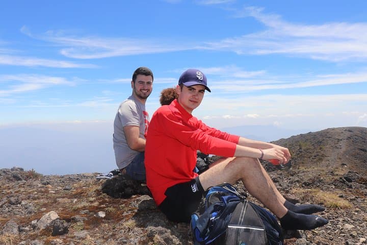
Expect varied terrain—packed dirt, loose volcanic scree, and exposed rock near the summit—and shifting microclimates: sunny, humid sections give way to cold, windy ridgelines. Birds and clouds race the ridge; on a clear morning the crater’s lip frames steaming fumaroles and distant peaks.
Practical guidance: this is a full-day, high-elevation trek best done in the dry season for views and firmer footing. Walk steadily to manage altitude gain, carry at least 3 liters of water, and layer for wind and rapid temperature drops. A guided day hike from Santiago Atitlán typically includes pickup, a local guide, and a paced ascent tailored to the group. Be prepared for loose footing on the final approach and for descent to take as long as the climb—plan footwear and energy accordingly.
challenging.
6–8 hours.
Requires good cardiovascular fitness and leg endurance; regular hikers will manage best.
Expect a steady, steep ascent with sections of loose scree; it’s a challenging full-day hike that demands good fitness and an easy pace for altitude.
A guide is strongly recommended—routes, weather, and local logistics are best handled by someone familiar with the mountain and the lakeshore communities.
The dry season (roughly November–April) offers the clearest views and firmer trails; the wet season brings mud and reduced visibility.
Yes—the summit is above 3,500 m. Symptoms can occur even in fit hikers; ascend slowly, hydrate, and descend if severe symptoms arise.
Atitlán’s cone is part of the Guatemalan volcanic chain and showed significant activity in the 19th century; nearby lakeshore towns are predominantly Tz'utujil Maya with long histories of agriculture on volcanic soils.
Trail erosion and litter are local concerns—stick to established paths, pack out waste, and support local guides who practice low-impact tourism.
Tours / Activities SA ((T&ASA)) operates guided outdoor trips and adventures with an emphasis on safety, stewardship, and memorable experiences.
You step off the shuttle into a chill that smells of damp pine and volcanic stone; ahead, the cone of Atitlán slices into the sky, rimmed with crater dust and cloud. The trail climbs away from lakeshore villages through coffee terraces, a band of secondary forest, then into the rocky, wind-scoured upper slopes where each switchback reveals a broader sweep of Lake Atitlán and its ring of volcanoes.
You step off the shuttle into a chill that smells of damp pine and volcanic stone; ahead, the cone of Atitlán slices into the sky, rimmed with crater dust and cloud. The trail climbs away from lakeshore villages through coffee terraces, a band of secondary forest, then into the rocky, wind-scoured upper slopes where each switchback reveals a broader sweep of Lake Atitlán and its ring of volcanoes.
Geology and history are plain on the route: Atitlán is a stratovolcano rising to roughly 3,537 m with a 250 m-wide crater and fissures from an 1853 eruption. The slopes are part of the Guatemalan volcanic chain that shaped the highland Mayan world; local Tz'utujil communities still farm the lower flanks and guide visitors, blending living culture with the mountain’s story.
Expect varied terrain—packed dirt, loose volcanic scree, and exposed rock near the summit—and shifting microclimates: sunny, humid sections give way to cold, windy ridgelines. Birds and clouds race the ridge; on a clear morning the crater’s lip frames steaming fumaroles and distant peaks.
Practical guidance: this is a full-day, high-elevation trek best done in the dry season for views and firmer footing. Walk steadily to manage altitude gain, carry at least 3 liters of water, and layer for wind and rapid temperature drops. A guided day hike from Santiago Atitlán typically includes pickup, a local guide, and a paced ascent tailored to the group. Be prepared for loose footing on the final approach and for descent to take as long as the climb—plan footwear and energy accordingly.