THE ADVENTURE COLLECTIVE® · Independent discovery and booking for outdoor travel

Walk across hardened lava and forest trails for close views of Arenal Volcano and Lake Arenal. This 2–4 km, medium-difficulty route offers dramatic lava features, volcanic boulders, and panoramic viewpoints—ideal for hikers who want raw geology with manageable effort.
Walk across hardened lava and forest trails for close views of Arenal Volcano and Lake Arenal. This 2–4 km, medium-difficulty route offers dramatic lava features, volcanic boulders, and panoramic viewpoints—ideal for hikers who want raw geology with manageable effort.
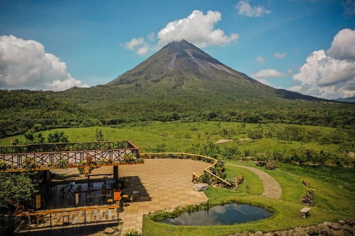
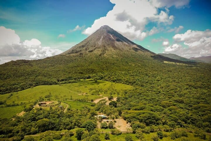
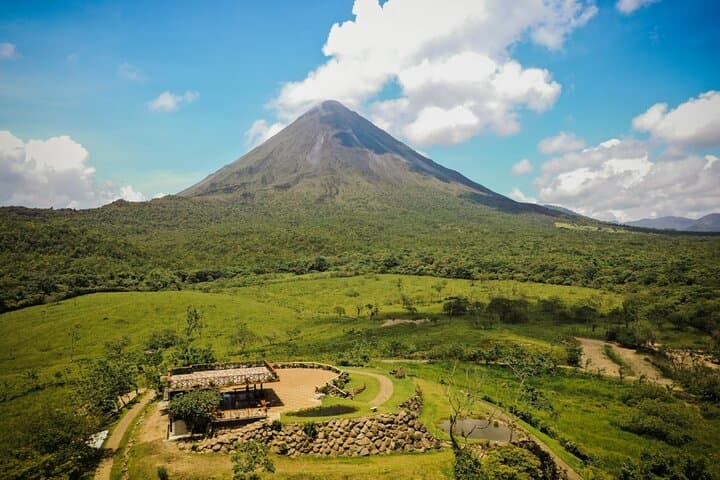
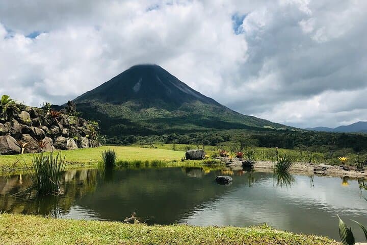
The path opens on rough black rock and humid undergrowth, the volcano looming like a slow-breathing presence above the valley. You walk where molten rock once bulldozed forest; boulders the size of cars sit like records of violence, and the trail threads forested switches to open viewpoints that fling Lake Arenal and the volcano across your field of vision.
Verified experiences and guided adventures in the surrounding area.
Operated by Tico Paradise Costa Rica · La Fortuna, Alajuela
The path opens on rough black rock and humid undergrowth, the volcano looming like a slow-breathing presence above the valley. You walk where molten rock once bulldozed forest; boulders the size of cars sit like records of violence, and the trail threads forested switches to open viewpoints that fling Lake Arenal and the volcano across your field of vision.
The 1968 eruption reshaped slopes and left a field of jagged, clinker-like lava that cooled into sculpted rock. Geologically recent and visually raw, these flows offer close-up lessons in basaltic texture and angular bomb fragments—one crater gouged by a projectile is still visible from the trail. Culturally, the area around La Fortuna has rebuilt around the volcano: small farms, eco-lodges, and trails managed to keep visitors at the safer lower elevations while supporting local guides and conservation work.
Two medium-difficulty routes run from wooded singletrack to open lava-stream crossings; expect 2–4 km of walking with modest elevation changes (roughly 100–250 m gain) over rocky, sometimes slick surfaces. The volcano is active, so trails stay below the summit and can be closed for safety; watch for sulfur odors and follow posted signs.
Practical tips: start in the morning for clearer air and fewer insects, wear stout shoes with grippy soles, pack water and a light rain jacket, and give wildlife space—coatis and birds are common. The park’s viewpoints make excellent photo stops; bring a wide lens and patience for shifting light. This is a compact, characterful hike that trades altitude for raw volcanic scenery and excellent volcano-and-lake panoramas.
moderate.
2–3 hours.
Moderate fitness: able to manage uneven ground, short climbs, and several hours of walking.
There are two main routes typically totaling roughly 2–4 km; combined visits and viewpoint time average about 2–3 hours.
Trails are located around the volcano’s base and officials close sections when gas or seismic activity rises—follow posted advisories and guide instructions.
No active lava flows are visible; the trail showcases hardened lava from past eruptions and large volcanic blocks ejected in 1968 and later events.
Guides aren’t mandatory on the park trails but are recommended for interpretation, safety context, and wildlife spotting.
The 1968 eruption dramatically altered the volcano’s slopes and nearby communities; subsequent eruptions through 2010 shaped current land use and tourism patterns.
Trail management focuses on keeping visitors on defined paths to protect regenerating forest and fragile volcanic substrates; local operators support reforestation and waste-minimization efforts.
Tico Paradise Costa Rica operates guided outdoor trips and adventures with an emphasis on safety, stewardship, and memorable experiences.
The path opens on rough black rock and humid undergrowth, the volcano looming like a slow-breathing presence above the valley. You walk where molten rock once bulldozed forest; boulders the size of cars sit like records of violence, and the trail threads forested switches to open viewpoints that fling Lake Arenal and the volcano across your field of vision.
The path opens on rough black rock and humid undergrowth, the volcano looming like a slow-breathing presence above the valley. You walk where molten rock once bulldozed forest; boulders the size of cars sit like records of violence, and the trail threads forested switches to open viewpoints that fling Lake Arenal and the volcano across your field of vision.
The 1968 eruption reshaped slopes and left a field of jagged, clinker-like lava that cooled into sculpted rock. Geologically recent and visually raw, these flows offer close-up lessons in basaltic texture and angular bomb fragments—one crater gouged by a projectile is still visible from the trail. Culturally, the area around La Fortuna has rebuilt around the volcano: small farms, eco-lodges, and trails managed to keep visitors at the safer lower elevations while supporting local guides and conservation work.
Two medium-difficulty routes run from wooded singletrack to open lava-stream crossings; expect 2–4 km of walking with modest elevation changes (roughly 100–250 m gain) over rocky, sometimes slick surfaces. The volcano is active, so trails stay below the summit and can be closed for safety; watch for sulfur odors and follow posted signs.
Practical tips: start in the morning for clearer air and fewer insects, wear stout shoes with grippy soles, pack water and a light rain jacket, and give wildlife space—coatis and birds are common. The park’s viewpoints make excellent photo stops; bring a wide lens and patience for shifting light. This is a compact, characterful hike that trades altitude for raw volcanic scenery and excellent volcano-and-lake panoramas.