THE ADVENTURE COLLECTIVE® · Independent discovery and booking for outdoor travel

An 11-day expedition from Antananarivo into Andringitra National Park and the Tsaranoro Valley, this trek combines granite ridges, remote campsites and Malagasy village encounters. Expect long days of hiking, dramatic geology and close wildlife sightings—best attempted by fit, experienced trekkers.
An 11-day expedition from Antananarivo into Andringitra National Park and the Tsaranoro Valley, this trek combines granite ridges, remote campsites and Malagasy village encounters. Expect long days of hiking, dramatic geology and close wildlife sightings—best attempted by fit, experienced trekkers.
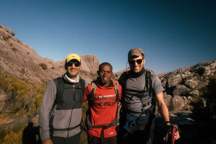
You wake before dawn, headlamp cutting a narrow tunnel through cold, thin air as the massif of Andringitra looms ahead—granite cliffs that demand attention and claim the skyline. Pic Boby’s ridge catches the first light; below, valleys fold into green hollows where rivers dare you to follow them.
Verified experiences and guided adventures in the surrounding area.
Operated by Found Expeditions · Ambalavao, Haute Matsiatra
You wake before dawn, headlamp cutting a narrow tunnel through cold, thin air as the massif of Andringitra looms ahead—granite cliffs that demand attention and claim the skyline. Pic Boby’s ridge catches the first light; below, valleys fold into green hollows where rivers dare you to follow them.
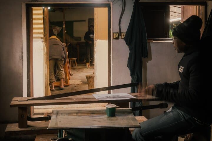
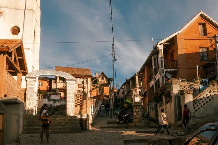
The route threads through landscapes shaped by ancient uplift and erosion: banded granite spires, steep amphitheaters and volcanic-derived soils that feed an unusual highland flora. Local Zafimaniry woodcarvers, whose craft reflects a long relationship with the forest, welcome hikers in villages along National Road 7, while markets in Antananarivo and Ambositra offer a louder, busier contrast.
Culturally, this trek connects Malagasy highland life—rice terraces, zebu markets and isolated hamlets—with remote refuges for lemurs, chameleons and birds unique to the island.
Practically, expect sustained days of climbing and descent, campsite nights and a very early assault on Pic Boby (summit at 2,658 m). Trails range from compact soil to loose scree; river crossings are common after rain. Plan for strong sun at elevation and sudden storms in the wet season. Hydrate, layer for cold mornings and pack a warm sleeping bag—temperatures can drop sharply at camp. Guided support, local porters and fixed camps make logistics straightforward, but this is a physically demanding itinerary: reliable boots, a light pack and respect for changing weather are essential. Time your trip for the dry months (June–September) for the cleanest summit views and firmer trails.
challenging.
11 days.
Recommended for people with high aerobic fitness who are comfortable hiking 6–10+ hours with elevation gain and camping multiple nights.
No technical climbing is required for the normal route, but the ascent is steep, long and exposed in places—good fitness and sure-footedness are essential.
Dry season (June–September) offers firmer trails and clearer summit views; the wet season brings heavier rain, muddy trails and more challenging river crossings.
Andringitra National Park requires park fees and guided access in many areas; itineraries typically include certified local guides and arranged porter support.
Camps are remote with limited infrastructure; guides carry basic first-aid but serious evacuation requires vehicle transfer to nearest towns and can be slow—travel insurance covering evacuation is recommended.
Andringitra’s high plateau has long been used by Malagasy highland communities; the Zafimaniry are noted for woodcraft traditions and an architectural style recognized by UNESCO.
Tourism brings income but also pressure on water and trails; follow Leave No Trace, use local guides, and avoid single-use plastics to reduce impact.
Found Expeditions operates guided outdoor trips and adventures with an emphasis on safety, stewardship, and memorable experiences.

You wake before dawn, headlamp cutting a narrow tunnel through cold, thin air as the massif of Andringitra looms ahead—granite cliffs that demand attention and claim the skyline. Pic Boby’s ridge catches the first light; below, valleys fold into green hollows where rivers dare you to follow them.
You wake before dawn, headlamp cutting a narrow tunnel through cold, thin air as the massif of Andringitra looms ahead—granite cliffs that demand attention and claim the skyline. Pic Boby’s ridge catches the first light; below, valleys fold into green hollows where rivers dare you to follow them.
The route threads through landscapes shaped by ancient uplift and erosion: banded granite spires, steep amphitheaters and volcanic-derived soils that feed an unusual highland flora. Local Zafimaniry woodcarvers, whose craft reflects a long relationship with the forest, welcome hikers in villages along National Road 7, while markets in Antananarivo and Ambositra offer a louder, busier contrast.
Culturally, this trek connects Malagasy highland life—rice terraces, zebu markets and isolated hamlets—with remote refuges for lemurs, chameleons and birds unique to the island.
Practically, expect sustained days of climbing and descent, campsite nights and a very early assault on Pic Boby (summit at 2,658 m). Trails range from compact soil to loose scree; river crossings are common after rain. Plan for strong sun at elevation and sudden storms in the wet season. Hydrate, layer for cold mornings and pack a warm sleeping bag—temperatures can drop sharply at camp. Guided support, local porters and fixed camps make logistics straightforward, but this is a physically demanding itinerary: reliable boots, a light pack and respect for changing weather are essential. Time your trip for the dry months (June–September) for the cleanest summit views and firmer trails.