THE ADVENTURE COLLECTIVE® · Independent discovery and booking for outdoor travel

Follow an ancestral Kaqchikel route along Lake Atitlán’s shoreline from Santa Cruz La Laguna to Tz'ununa. This moderate 4‑hour hike combines lakeside views, stone stairways and living village culture with close-up volcano panoramas.
Follow an ancestral Kaqchikel route along Lake Atitlán’s shoreline from Santa Cruz La Laguna to Tz'ununa. This moderate 4‑hour hike combines lakeside views, stone stairways and living village culture with close-up volcano panoramas.
You step off the narrow boat in Santa Cruz La Laguna and the lake opens — blue water cupped by volcanoes Atitlán, Tolimán and San Pedro. The path leaves the dock, slipping between painted houses and coffee terraces, and soon the routine of village life — women carrying produce, dogs threading between stone steps — becomes your rhythm.
Verified experiences and guided adventures in the surrounding area.
Operated by Tours With Vick · Santa Cruz La Laguna, Sololá
You step off the narrow boat in Santa Cruz La Laguna and the lake opens — blue water cupped by volcanoes Atitlán, Tolimán and San Pedro. The path leaves the dock, slipping between painted houses and coffee terraces, and soon the routine of village life — women carrying produce, dogs threading between stone steps — becomes your rhythm.
This route follows an ancestral Kaqchikel path that linked lakeside villages for trade and communication long before modern roads. Geologically, Lake Atitlán sits in a volcanic caldera; the trail traces the caldera rim where basalt and volcanic ash form steep terraces, stone staircases and occasional loose scree. Culturally the walk passes small cooperatives, family-run shops and lakeside cafés where Spanish and Kaqchikel Maya are both heard.
Expect roughly 6–8 km (4–5 miles) of walking over 3.5–4.5 hours with intermittent stone staircases and short uphill sections — cumulative ascent is modest but can total around 100–200 m depending on detours. The surface alternates packed earth, cobbled village lanes and narrow lakeside tracks; lightweight hiking shoes with good grip are recommended.
Practical notes: start early to avoid midday sun and crowds, carry at least 1–1.5 liters of water, and bring small change for local cafés. A local guide adds historical context and supports village economies. The trail is suited to hikers of moderate fitness comfortable on uneven terrain; if you prefer, there are boats for sections of the route. Respect private property, stay on paths, and leave no trace — the trail remains both a living route for locals and a memorable window into Lake Atitlán’s landscape and living Mayan culture.
moderate.
4–4.5 hours.
Moderate — you should be comfortable walking several miles over uneven terrain and short steep sections
The itinerary generally covers about 6–8 km (4–5 miles) and takes roughly 3.5–4.5 hours depending on stops and pace.
Families and older hikers with moderate fitness can do the route, but expect uneven stone steps; take it slow, plan boat options and bring rests.
No — the walk follows lakeside paths and village lanes, but boats are available to shorten the route or return if preferred.
Yes — the route passes cafés and spots like Casa del Mundo offering food and lake access; ask your guide about safe swim areas.
The trail was a functional Kaqchikel (Kakchiquel) route connecting lakeside communities for trade and social exchange; many sections remain in community use today.
Support local guides and small businesses, stay on established paths and pack out trash; tourism helps local economies but requires respectful behavior to limit erosion and waste.
Tours With Vick operates guided outdoor trips and adventures with an emphasis on safety, stewardship, and memorable experiences.
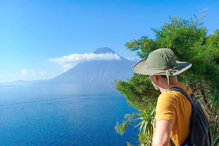
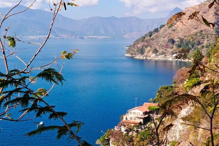
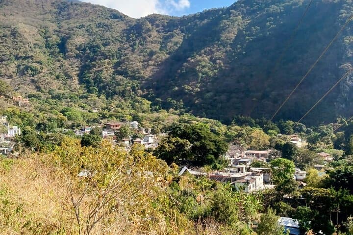
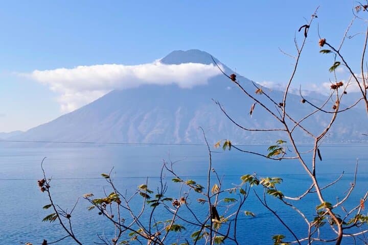
You step off the narrow boat in Santa Cruz La Laguna and the lake opens — blue water cupped by volcanoes Atitlán, Tolimán and San Pedro. The path leaves the dock, slipping between painted houses and coffee terraces, and soon the routine of village life — women carrying produce, dogs threading between stone steps — becomes your rhythm.
You step off the narrow boat in Santa Cruz La Laguna and the lake opens — blue water cupped by volcanoes Atitlán, Tolimán and San Pedro. The path leaves the dock, slipping between painted houses and coffee terraces, and soon the routine of village life — women carrying produce, dogs threading between stone steps — becomes your rhythm.
This route follows an ancestral Kaqchikel path that linked lakeside villages for trade and communication long before modern roads. Geologically, Lake Atitlán sits in a volcanic caldera; the trail traces the caldera rim where basalt and volcanic ash form steep terraces, stone staircases and occasional loose scree. Culturally the walk passes small cooperatives, family-run shops and lakeside cafés where Spanish and Kaqchikel Maya are both heard.
Expect roughly 6–8 km (4–5 miles) of walking over 3.5–4.5 hours with intermittent stone staircases and short uphill sections — cumulative ascent is modest but can total around 100–200 m depending on detours. The surface alternates packed earth, cobbled village lanes and narrow lakeside tracks; lightweight hiking shoes with good grip are recommended.
Practical notes: start early to avoid midday sun and crowds, carry at least 1–1.5 liters of water, and bring small change for local cafés. A local guide adds historical context and supports village economies. The trail is suited to hikers of moderate fitness comfortable on uneven terrain; if you prefer, there are boats for sections of the route. Respect private property, stay on paths, and leave no trace — the trail remains both a living route for locals and a memorable window into Lake Atitlán’s landscape and living Mayan culture.