THE ADVENTURE COLLECTIVE® · Independent discovery and booking for outdoor travel

Hike 4 miles each way up a glacial canyon in the Bitterroot National Forest, then float on a quiet high-elevation lake in a packraft. Guides supply gear, a backpacker lunch, and local natural history along the way.
Hike 4 miles each way up a glacial canyon in the Bitterroot National Forest, then float on a quiet high-elevation lake in a packraft. Guides supply gear, a backpacker lunch, and local natural history along the way.
You crest a low ridge and the canyon opens—rock ribs gouged by ice, a pool of alpine water sitting motionless like a held breath. The trail drops to scree and subalpine meadow; guides unpack bright inflatable boats while spruce and larch watch from the shore.
Verified experiences and guided adventures in the surrounding area.
Operated by Bitterroot Backpacking · Hamilton, Montana
You crest a low ridge and the canyon opens—rock ribs gouged by ice, a pool of alpine water sitting motionless like a held breath. The trail drops to scree and subalpine meadow; guides unpack bright inflatable boats while spruce and larch watch from the shore.
This is the Bitterroot National Forest: a place carved by glaciers and fire, where granite basins hold snowmelt into late summer. The valley towns below were shaped by ranching and logging; the mountains above still carry old mining scars and Native American travel corridors. Geologically, the Bitterroots are steep, glacially scoured, and changeable—streams swell after storms and hidden talus fields demand attention.
On this guided day trip you’ll hike roughly 8 miles round-trip with about 1,000 feet of elevation gain, arriving at a high lake for a calm packraft paddle. Guides provide safety gear, packrafts, a backpacker-style lunch, and filtered snowmelt. Expect short water crossings on the approach, rockier tread above treeline, and quiet waterways where loons or trout may inspect your craft.
Practical notes: start early to beat afternoon storms, break in sturdy footwear for the creek crossings, and dress in layers—alpine sun becomes wind and chill quickly. Hydrate well; the guide filters additional water but bring a refillable bottle. Leave No Trace practices matter here—group size is small, and the route is minimally maintained, so your attention to impact keeps this backcountry accessible for everyone.
moderate.
6–7 hours.
Moderate fitness with comfort on 8-mile days and sustained uphill walking; able to manage short water crossings.
The full outing is about 8 miles round-trip—roughly 4 miles each way—with about 1,000 feet of elevation gain.
Yes—packrafts, paddles, life vests, backpacks, trekking poles, bear spray, and group safety equipment are included.
Yes—beginners with moderate fitness and willingness to learn basic paddling can participate; guides offer instruction and safety briefings.
Trips may be canceled for safety reasons; start times avoid afternoon storms and guides monitor conditions, with a full refund if canceled at least 24 hours prior.
The Bitterroots were traversed by Indigenous peoples and later shaped by mining and ranching; glacial activity created the steep basins and lakes you visit.
Group sizes and Leave No Trace practices are emphasized; avoid campfires above treeline and pack out all trash to protect fragile alpine vegetation.
Bitterroot Backpacking operates guided outdoor trips and adventures with an emphasis on safety, stewardship, and memorable experiences.
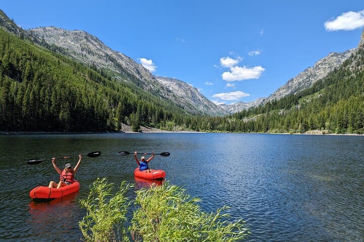
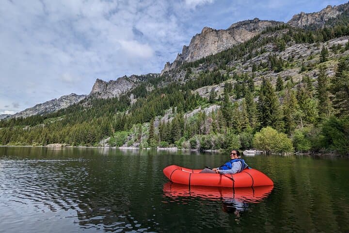
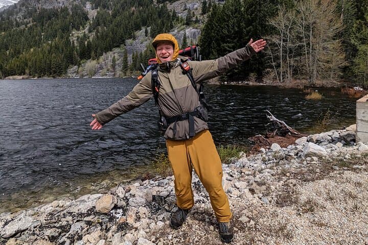
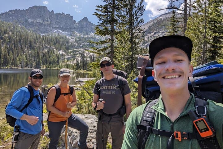
You crest a low ridge and the canyon opens—rock ribs gouged by ice, a pool of alpine water sitting motionless like a held breath. The trail drops to scree and subalpine meadow; guides unpack bright inflatable boats while spruce and larch watch from the shore.
You crest a low ridge and the canyon opens—rock ribs gouged by ice, a pool of alpine water sitting motionless like a held breath. The trail drops to scree and subalpine meadow; guides unpack bright inflatable boats while spruce and larch watch from the shore.
This is the Bitterroot National Forest: a place carved by glaciers and fire, where granite basins hold snowmelt into late summer. The valley towns below were shaped by ranching and logging; the mountains above still carry old mining scars and Native American travel corridors. Geologically, the Bitterroots are steep, glacially scoured, and changeable—streams swell after storms and hidden talus fields demand attention.
On this guided day trip you’ll hike roughly 8 miles round-trip with about 1,000 feet of elevation gain, arriving at a high lake for a calm packraft paddle. Guides provide safety gear, packrafts, a backpacker-style lunch, and filtered snowmelt. Expect short water crossings on the approach, rockier tread above treeline, and quiet waterways where loons or trout may inspect your craft.
Practical notes: start early to beat afternoon storms, break in sturdy footwear for the creek crossings, and dress in layers—alpine sun becomes wind and chill quickly. Hydrate well; the guide filters additional water but bring a refillable bottle. Leave No Trace practices matter here—group size is small, and the route is minimally maintained, so your attention to impact keeps this backcountry accessible for everyone.