THE ADVENTURE COLLECTIVE® · Independent discovery and booking for outdoor travel

Walk the beach where Mulberry B rose from sea and steel. This GPS-driven mobile game turns Arromanches into an interactive D-Day mission, blending museum stops, shoreline inspection, and puzzle-driven choices into a 1–2 hour self-guided experience.
Walk the beach where Mulberry B rose from sea and steel. This GPS-driven mobile game turns Arromanches into an interactive D-Day mission, blending museum stops, shoreline inspection, and puzzle-driven choices into a 1–2 hour self-guided experience.
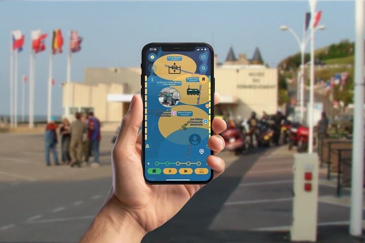
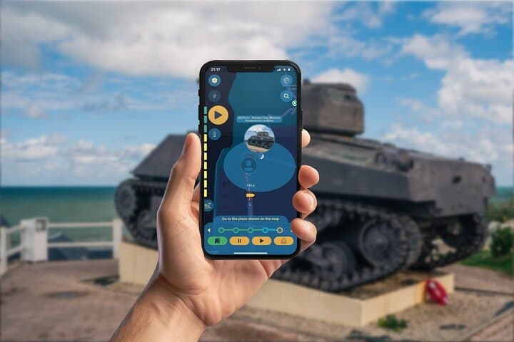
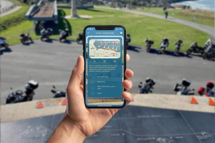
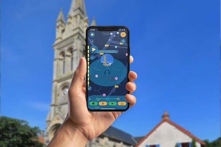
The wind off the English Channel lifts a fine spray as you stand on the shingle at Arromanches-les-Bains, smartphone in hand. The Allied Landing GPS App turns the town into a live operational map: caissons loom on the beach, bronze orientation tables point to repair marks, and museum displays become checkpoints where choices change the storyline.
Verified experiences and guided adventures in the surrounding area.
Operated by Leplace - interactive self-guided app tours · Arromanches-les-Bains, Normandy
The wind off the English Channel lifts a fine spray as you stand on the shingle at Arromanches-les-Bains, smartphone in hand. The Allied Landing GPS App turns the town into a live operational map: caissons loom on the beach, bronze orientation tables point to repair marks, and museum displays become checkpoints where choices change the storyline.
This stretch of Normandy is defined by geology and grit — low chalk cliffs, pebble beaches, and tidal ranges that once dictated the placement of Mulberry B. In June 1944, engineers and sailors assembled floating roadways and protective caissons here, turning an exposed coast into a functioning supply hub that kept the Allied advance fed. The town today balances living memory and tourism: cafés occupy former billet houses and local memorials commemorate civilian and military sacrifice.
Expect a self-paced mix of history and puzzle-solving. The app guides you along Rue du Maréchal Joffre, past the Musée du Débarquement, and onto the beach where you can inspect the scarred concrete of the artificial harbour. Narrative choices prompt you to weigh logistics under pressure, and badges mark hidden details and homemade memorials.
Practical notes: plan 1–2 hours, wear sturdy shoes for shingle and damp paths, and bring a charged phone with headphones. Public transit links to Bayeux make Arromanches an easy half-day excursion. Respect protected sites: do not remove artifacts or climb on fragile remains. Morning light reveals best views of the caissons; off-peak hours offer quieter exploration and more interpretive space.
This experience suits history-minded walkers who want an active, interpretive visit that blends physical context with interactive storytelling.
easy.
1–2 hours.
Light walking on mostly flat streets and shingle beach; suitable for most moderately mobile visitors
The experience is designed for 1–2 hours, but you can pause and resume—many visitors spend extra time at the museum or linger on the beach.
The app uses GPS and may require intermittent data; download any app content or maps in advance and carry a charged device.
The route includes uneven shingle and some steps; the activity is marked physically easy but is not recommended for those with impaired mobility.
Museum admission is not included in the app—check opening hours and ticketing for Musée du Débarquement before you go.
Arromanches hosted Mulberry B, the prefabricated artificial harbour that kept Allied supply lines open after D-Day; its concrete caissons and floating roadways were engineering responses to a critical logistical problem.
Coastal erosion and visitor impact threaten fragile remains; follow paths, avoid touching or removing artifacts, and support local museums that preserve D-Day heritage.
Leplace - interactive self-guided app tours operates guided outdoor trips and adventures with an emphasis on safety, stewardship, and memorable experiences.
The wind off the English Channel lifts a fine spray as you stand on the shingle at Arromanches-les-Bains, smartphone in hand. The Allied Landing GPS App turns the town into a live operational map: caissons loom on the beach, bronze orientation tables point to repair marks, and museum displays become checkpoints where choices change the storyline.
The wind off the English Channel lifts a fine spray as you stand on the shingle at Arromanches-les-Bains, smartphone in hand. The Allied Landing GPS App turns the town into a live operational map: caissons loom on the beach, bronze orientation tables point to repair marks, and museum displays become checkpoints where choices change the storyline.
This stretch of Normandy is defined by geology and grit — low chalk cliffs, pebble beaches, and tidal ranges that once dictated the placement of Mulberry B. In June 1944, engineers and sailors assembled floating roadways and protective caissons here, turning an exposed coast into a functioning supply hub that kept the Allied advance fed. The town today balances living memory and tourism: cafés occupy former billet houses and local memorials commemorate civilian and military sacrifice.
Expect a self-paced mix of history and puzzle-solving. The app guides you along Rue du Maréchal Joffre, past the Musée du Débarquement, and onto the beach where you can inspect the scarred concrete of the artificial harbour. Narrative choices prompt you to weigh logistics under pressure, and badges mark hidden details and homemade memorials.
Practical notes: plan 1–2 hours, wear sturdy shoes for shingle and damp paths, and bring a charged phone with headphones. Public transit links to Bayeux make Arromanches an easy half-day excursion. Respect protected sites: do not remove artifacts or climb on fragile remains. Morning light reveals best views of the caissons; off-peak hours offer quieter exploration and more interpretive space.
This experience suits history-minded walkers who want an active, interpretive visit that blends physical context with interactive storytelling.