THE ADVENTURE COLLECTIVE® · Independent discovery and booking for outdoor travel

A classic 9-day trek into Nepal’s Langtang Valley that combines high ridgelines, Buddhist gompas, and teahouse culture. Hike from Syabrubesi to Kyanjin Gompa with optional sunrise ascents to Kyanjin Ri and Tsergo Ri for full Himalayan panoramas.
A classic 9-day trek into Nepal’s Langtang Valley that combines high ridgelines, Buddhist gompas, and teahouse culture. Hike from Syabrubesi to Kyanjin Gompa with optional sunrise ascents to Kyanjin Ri and Tsergo Ri for full Himalayan panoramas.
A thin morning light slides across the Langtang Valley as the trail rises out of pine and rhododendron, the Langtang River daring you to keep pace. By the second day the path tightens, bamboo and prayer flags flapping like local voices; by Kyanjin Gompa, glaciers press close enough to taste the cold off their faces.
Verified experiences and guided adventures in the surrounding area.
Operated by Wonder Himalaya · Syabrubesi, Bagmati Province
A thin morning light slides across the Langtang Valley as the trail rises out of pine and rhododendron, the Langtang River daring you to keep pace. By the second day the path tightens, bamboo and prayer flags flapping like local voices; by Kyanjin Gompa, glaciers press close enough to taste the cold off their faces.
Langtang sits north of Kathmandu in Bagmati Province, carved by tectonic uplift and sculpted glaciers that reveal layered granite and moraine. The valley is home to Tamang and Tibetan-descended communities whose monasteries preserve ritual life and yak-cheese craft; many villages were rebuilt after the 2015 earthquake and now welcome trekkers into simple teahouses.
The route moves from Syabrubesi (1,460 m) through Lama Hotel (2,470 m) to Langtang Village (3,430 m) and Kyanjin Gompa (3,870 m), with high-altitude side trips to Kyanjin Ri (~4,773 m) and Tsergo Ri (~5,033 m) for panoramic views of Langtang Lirung and Ganesh Himal. Terrain alternates riverbanks, forested switchbacks, and rocky alpine inclines; expect basic single-track, some scree on higher ridges, and steep descents.
Practical notes: acclimatize deliberately, carry layers and a warm sleeping bag (teahouse nights are basic), and budget extra time for weather delays on higher ridgelines. Permits (Langtang Conservation Area, TIMS) are required; a registered guide is standard. Water sources are frequent but treat or filter; the best windows for clear mountain views are spring (April–May) and autumn (September–November). Walk conservatively on summit attempts—altitude, not technical climbing, is the main challenge.
challenging.
9 days.
Good aerobic fitness with experience on multi-day uphill hikes; comfortable with long days and basic altitude effects.
Yes—trekkers must obtain a Langtang Conservation Area Permit and a TIMS card; guides or operators usually arrange these before departure.
They are steep, high-altitude day hikes rather than technical climbs; strong legs and good acclimatization are essential, and round trips can take 6–8 hours.
Teahouse lodges provide basic dorm or twin rooms, simple hot meals, and shared bathrooms; heating is limited, so bring a warm sleeping bag.
Spring (April–May) and autumn (September–November) offer the most stable weather and clear views, while winter is very cold and monsoon season brings heavy rain and cloud cover.
The Langtang Valley is home to Tamang and Tibetan-descended communities with long Buddhist traditions; many settlements were rebuilt after the 2015 earthquake.
Langtang is inside a protected conservation area—stay on marked trails, carry out waste, and follow teahouse guidelines to minimize ecological impact.
Wonder Himalaya operates guided outdoor trips and adventures with an emphasis on safety, stewardship, and memorable experiences.
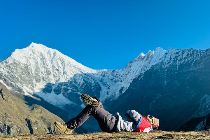
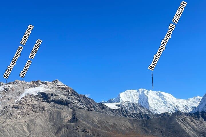
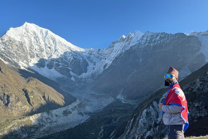
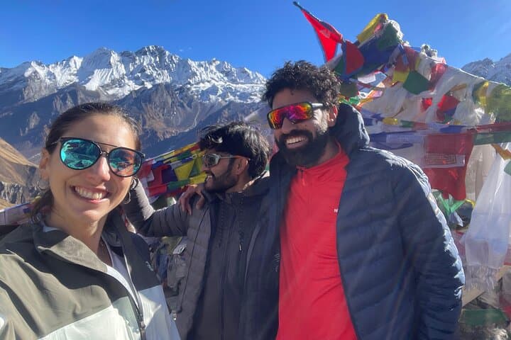
A thin morning light slides across the Langtang Valley as the trail rises out of pine and rhododendron, the Langtang River daring you to keep pace. By the second day the path tightens, bamboo and prayer flags flapping like local voices; by Kyanjin Gompa, glaciers press close enough to taste the cold off their faces.
A thin morning light slides across the Langtang Valley as the trail rises out of pine and rhododendron, the Langtang River daring you to keep pace. By the second day the path tightens, bamboo and prayer flags flapping like local voices; by Kyanjin Gompa, glaciers press close enough to taste the cold off their faces.
Langtang sits north of Kathmandu in Bagmati Province, carved by tectonic uplift and sculpted glaciers that reveal layered granite and moraine. The valley is home to Tamang and Tibetan-descended communities whose monasteries preserve ritual life and yak-cheese craft; many villages were rebuilt after the 2015 earthquake and now welcome trekkers into simple teahouses.
The route moves from Syabrubesi (1,460 m) through Lama Hotel (2,470 m) to Langtang Village (3,430 m) and Kyanjin Gompa (3,870 m), with high-altitude side trips to Kyanjin Ri (~4,773 m) and Tsergo Ri (~5,033 m) for panoramic views of Langtang Lirung and Ganesh Himal. Terrain alternates riverbanks, forested switchbacks, and rocky alpine inclines; expect basic single-track, some scree on higher ridges, and steep descents.
Practical notes: acclimatize deliberately, carry layers and a warm sleeping bag (teahouse nights are basic), and budget extra time for weather delays on higher ridgelines. Permits (Langtang Conservation Area, TIMS) are required; a registered guide is standard. Water sources are frequent but treat or filter; the best windows for clear mountain views are spring (April–May) and autumn (September–November). Walk conservatively on summit attempts—altitude, not technical climbing, is the main challenge.