THE ADVENTURE COLLECTIVE® · Independent discovery and booking for outdoor travel

A seven-day trek from Syabrubesi into Langtang Valley leads to Kyangjin Gompa at 3,890 m, passing rhododendron forests, yak pastures and glacial ridgelines. This guide covers what to expect on trail, local culture, and practical prep for altitude and tea-house logistics.
A seven-day trek from Syabrubesi into Langtang Valley leads to Kyangjin Gompa at 3,890 m, passing rhododendron forests, yak pastures and glacial ridgelines. This guide covers what to expect on trail, local culture, and practical prep for altitude and tea-house logistics.
You step off the seven-hour bus at Syabrubesi with cold mountain air hitting your face and the Bhote Koshi river daring you to follow its clangorous route uphill.
Verified experiences and guided adventures in the surrounding area.
Operated by Blissful Himalayas · Syabrubesi, Bagmati Province
You step off the seven-hour bus at Syabrubesi with cold mountain air hitting your face and the Bhote Koshi river daring you to follow its clangorous route uphill.
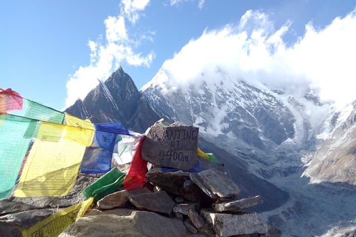
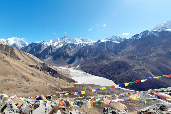
Over seven days the trail threads through rhododendron forests, pasturelands where yaks graze like slow-moving clouds, and moraine-scarred slopes that point up toward Langtang Lirung. The trek culminates at Kyangjin Gompa (≈3,890 m) where prayer flags snap in a wind that seems to catalog the valley’s geology — glacially carved amphitheaters and exposed strata showing repeated uplift.
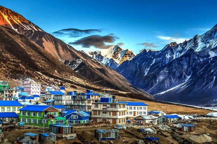
Langtang is both natural reserve and cultural corridor: a Tibetan-Buddhist heartland with small gompas, cheese-makers in Kyangjin, and a community still rebuilding since the 2015 earthquake. Langtang National Park protects endemic species and fragile alpine vegetation, so trekkers share the land with Himalayan birds and, if lucky, red pandas and tahr.
Practically, this itinerary presses steadily upward with typical day lengths of 4–7 hours and one optional acclimatization climb to Tsergo Ri/Tserko Ri. Note the operator does not include an extra acclimatization day — plan your pace and sleep strategy accordingly. Tea-house accommodations and full board are standard; water and charging are available but limited, so carry purification and spare batteries. Spring and autumn offer the most stable weather, monsoon brings leeches and cloud cover, winter can drop temperatures well below freezing in higher villages.
Set expectations: steady uphill sections, uneven stone steps, and short steep pitches. With measured steps, good boots, and altitude awareness, the Langtang corridor rewards persistent hikers with raw Himalayan panoramas and close-up cultural encounters.
challenging.
7 days.
Good aerobic base, experience with multi-day hikes, and tolerance for sustained uphill hiking and altitude are recommended
Yes—TIMS and Langtang National Park permits are required; this itinerary includes those fees.
The highest scheduled stop is Kyangjin Gompa (~3,890 m); acute mountain sickness is possible—ascend slowly, hydrate, and monitor symptoms.
Tea-house (local guesthouse) accommodation with shared rooms and basic facilities; hot meals and boiled water are generally available.
Spring (March–May) and autumn (September–November) offer the most stable weather, clearer views and warmer daytime temperatures.
The Langtang Valley has deep Tibetan-Buddhist roots and traditional highland pastoralism; many communities were impacted by the 2015 earthquake and have been rebuilding since.
Langtang National Park regulates trekking permits and aims to limit waste; carry out non-biodegradable trash and use established toilets where available.
Blissful Himalayas operates guided outdoor trips and adventures with an emphasis on safety, stewardship, and memorable experiences.
You step off the seven-hour bus at Syabrubesi with cold mountain air hitting your face and the Bhote Koshi river daring you to follow its clangorous route uphill.
You step off the seven-hour bus at Syabrubesi with cold mountain air hitting your face and the Bhote Koshi river daring you to follow its clangorous route uphill.
Over seven days the trail threads through rhododendron forests, pasturelands where yaks graze like slow-moving clouds, and moraine-scarred slopes that point up toward Langtang Lirung. The trek culminates at Kyangjin Gompa (≈3,890 m) where prayer flags snap in a wind that seems to catalog the valley’s geology — glacially carved amphitheaters and exposed strata showing repeated uplift.
Langtang is both natural reserve and cultural corridor: a Tibetan-Buddhist heartland with small gompas, cheese-makers in Kyangjin, and a community still rebuilding since the 2015 earthquake. Langtang National Park protects endemic species and fragile alpine vegetation, so trekkers share the land with Himalayan birds and, if lucky, red pandas and tahr.
Practically, this itinerary presses steadily upward with typical day lengths of 4–7 hours and one optional acclimatization climb to Tsergo Ri/Tserko Ri. Note the operator does not include an extra acclimatization day — plan your pace and sleep strategy accordingly. Tea-house accommodations and full board are standard; water and charging are available but limited, so carry purification and spare batteries. Spring and autumn offer the most stable weather, monsoon brings leeches and cloud cover, winter can drop temperatures well below freezing in higher villages.
Set expectations: steady uphill sections, uneven stone steps, and short steep pitches. With measured steps, good boots, and altitude awareness, the Langtang corridor rewards persistent hikers with raw Himalayan panoramas and close-up cultural encounters.