THE ADVENTURE COLLECTIVE® · Independent discovery and booking for outdoor travel

A six-day circuit from Guwahati to Shillong that combines dramatic canyons, living root bridges, limestone caves and crystal-clear river boating. Ideal for travelers ready for wet trails, rural homestays and strong monsoon-driven scenery.
A six-day circuit from Guwahati to Shillong that combines dramatic canyons, living root bridges, limestone caves and crystal-clear river boating. Ideal for travelers ready for wet trails, rural homestays and strong monsoon-driven scenery.
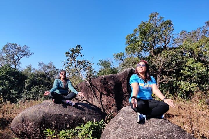
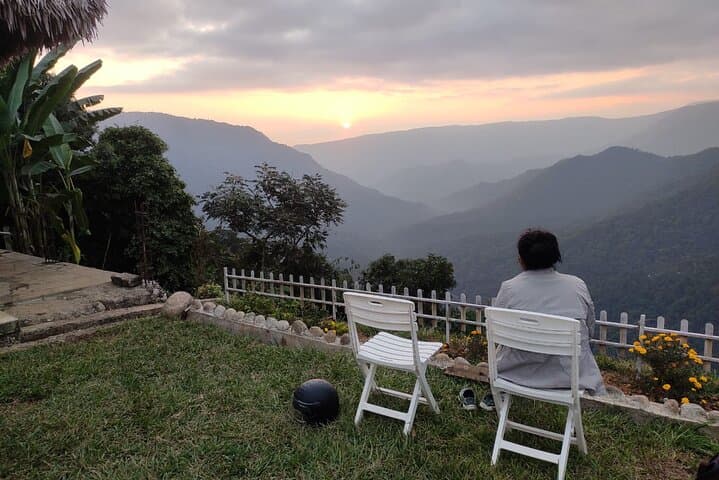
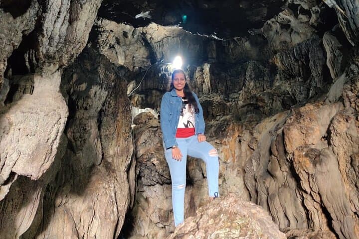
Dawn breaks over steep, green escarpments as a private van threads through mist toward Shillong. The air tastes of wet earth; cliffs loom and rivers dare you to look closer. Over six days this loop moves from Guwahati’s lowlands into Meghalaya’s high-ridges — through Laitlum Canyon’s wind-swept overlooks, the thunder of Cherrapunji’s falls, secret limestone caves, and the glass-clear waters of the Umngot at Dawki.
Verified experiences and guided adventures in the surrounding area.
Operated by NorthEast Guide · Shillong, Meghalaya
Dawn breaks over steep, green escarpments as a private van threads through mist toward Shillong. The air tastes of wet earth; cliffs loom and rivers dare you to look closer. Over six days this loop moves from Guwahati’s lowlands into Meghalaya’s high-ridges — through Laitlum Canyon’s wind-swept overlooks, the thunder of Cherrapunji’s falls, secret limestone caves, and the glass-clear waters of the Umngot at Dawki.
This region is shaped by ancient limestone and heavy monsoon: caves and caverns carved from karst, waterfalls that owe their scale to some of the highest rainfall on Earth, and living root bridges woven over generations from Ficus roots by Khasi and Pnar communities. Cultural notes are immediate — matrilineal Khasi settlements, Mawlynnong’s community-led cleanliness ethos, and temple life around Guwahati’s Kamakhya.
Expect steep, often wet trails (the Tyrna→Nongriat route includes long stone steps and roughly 300–400 m of elevation change), slippery cave floors, brief riverboat crossings on Umngot, and short drives across rural roads. Plan for heavy rain, early starts for viewpoints and boat trips, and time to move at a slower pace where trails are rugged.
Practical: bring a reliable rain jacket, grippy trekking shoes, a reusable water bottle, and local cash for small village purchases. Stay respectful of village customs, pack out waste, and allow extra time for transport during monsoon-season showers.
moderate.
6 days.
Moderate fitness: you should be comfortable with several hours of hiking, stair descents/ascents, and uneven terrain.
Expect steep stone steps with roughly 300–400 m elevation change; allow 3–6 hours round-trip depending on pace and breaks.
Boating runs year-round but water clarity and accessibility are best outside peak monsoon downpours; operators may adjust schedules during heavy rain.
Homestays and small hotels on this route are generally basic but clean; the tour specifies hygienic homestays and deluxe options for overnight stays.
Some sites like caves, viewpoints and village attractions have small local fees; carry local cash and your ID for any required permits.
The Khasi and Pnar peoples have inhabited these hills for centuries; the living root bridges are a unique example of bioengineering shaped by Khasi tradition and gradual botanical guidance.
The karst landscape and living root bridges are fragile—stick to trails, avoid disturbing roots, and minimize plastic waste; Mawlynnong’s village-led waste management is a local model.
NorthEast Guide operates guided outdoor trips and adventures with an emphasis on safety, stewardship, and memorable experiences.

Dawn breaks over steep, green escarpments as a private van threads through mist toward Shillong. The air tastes of wet earth; cliffs loom and rivers dare you to look closer. Over six days this loop moves from Guwahati’s lowlands into Meghalaya’s high-ridges — through Laitlum Canyon’s wind-swept overlooks, the thunder of Cherrapunji’s falls, secret limestone caves, and the glass-clear waters of the Umngot at Dawki.
Dawn breaks over steep, green escarpments as a private van threads through mist toward Shillong. The air tastes of wet earth; cliffs loom and rivers dare you to look closer. Over six days this loop moves from Guwahati’s lowlands into Meghalaya’s high-ridges — through Laitlum Canyon’s wind-swept overlooks, the thunder of Cherrapunji’s falls, secret limestone caves, and the glass-clear waters of the Umngot at Dawki.
This region is shaped by ancient limestone and heavy monsoon: caves and caverns carved from karst, waterfalls that owe their scale to some of the highest rainfall on Earth, and living root bridges woven over generations from Ficus roots by Khasi and Pnar communities. Cultural notes are immediate — matrilineal Khasi settlements, Mawlynnong’s community-led cleanliness ethos, and temple life around Guwahati’s Kamakhya.
Expect steep, often wet trails (the Tyrna→Nongriat route includes long stone steps and roughly 300–400 m of elevation change), slippery cave floors, brief riverboat crossings on Umngot, and short drives across rural roads. Plan for heavy rain, early starts for viewpoints and boat trips, and time to move at a slower pace where trails are rugged.
Practical: bring a reliable rain jacket, grippy trekking shoes, a reusable water bottle, and local cash for small village purchases. Stay respectful of village customs, pack out waste, and allow extra time for transport during monsoon-season showers.