THE ADVENTURE COLLECTIVE® · Independent discovery and booking for outdoor travel

A fast, classic ascent to Point Lenana via Naro Moru: four days through rainforest, vertical bog, moorland and glacial valleys. This guide covers what to expect, logistical musts, and practical tips for a safe summit push.
A fast, classic ascent to Point Lenana via Naro Moru: four days through rainforest, vertical bog, moorland and glacial valleys. This guide covers what to expect, logistical musts, and practical tips for a safe summit push.
Dawn on the Naro Moru track is thin and cold; headlamps carve cones through eucalyptus as the trail climbs out of the rainforest toward Met Station. The route moves fast: forested ridge-walks at 2,600–3,000m give way to moorland, then the notorious vertical bog that tests boots and patience before opening onto the wide Teleki Valley and the ice-scarred slopes below the Lewis and Tryndall ridges.
Verified experiences and guided adventures in the surrounding area.
Operated by Shagami Kenya Tours and Safaris · Naro Moru, Nyeri County
Dawn on the Naro Moru track is thin and cold; headlamps carve cones through eucalyptus as the trail climbs out of the rainforest toward Met Station. The route moves fast: forested ridge-walks at 2,600–3,000m give way to moorland, then the notorious vertical bog that tests boots and patience before opening onto the wide Teleki Valley and the ice-scarred slopes below the Lewis and Tryndall ridges.
This classic four-day itinerary was established by colonial-era surveyors and later adopted by Kenyan guides as the quickest route to Point Lenana (approx. 4,985m). Geologically Mount Kenya is an extinct stratovolcano, its cores of syenite and lava intrusions carved into cirques and glaciers; the Naro Moru route showcases moorland heaths, bog plains, and the summit’s alpine scree.
Local communities in Naro Moru and nearby towns historically provided porters and guides; today conservation fees fund park rangers and upkeep of trails. Expect weather swings—sunny mornings, heavy afternoon mists, and freezing summit winds—so timing matters. Many groups start the summit push around 2:00 a.m. to reach Point Lenana at sunrise.
Practically: allow four days with moderate-to-strong fitness, pack warm layers, gaiters for the bog, and a reliable headlamp. Acclimatize if possible with an extra night at Naromoru River Lodge. Bring cash for tips and small supplies; treated water is often provided on trek. The route is non-technical but altitude and terrain demand respect—plan for slow, steady pacing, hydrate, and follow your guide’s instructions for a safe summit day.
challenging.
4 days.
Should be in good aerobic condition; comfortable with sustained uphill hiking and high-altitude walking.
You should have good cardiovascular fitness and experience with multi-day hiking; the challenge comes from altitude and sustained ascents rather than technical difficulty.
Point Lenana is a non-technical trekking summit—no ropes required—but steep scree and altitude make it strenuous.
Guides and porters are strongly recommended and often required by regulations; they handle navigation, safety, and camp logistics.
Park entrance and conservation fees to Kenya Wildlife Service are included by most operators; bring additional cash for tips and incidental costs.
Mount Kenya’s routes were mapped in the early 20th century during colonial surveys; Point Lenana is the trekking summit commonly visited, while Batian and Nelion require technical climbing.
Visitor fees support Kenya Wildlife Service trail maintenance and anti-poaching; stick to established paths to protect fragile moorland and bog ecosystems.
Shagami Kenya Tours and Safaris operates guided outdoor trips and adventures with an emphasis on safety, stewardship, and memorable experiences.
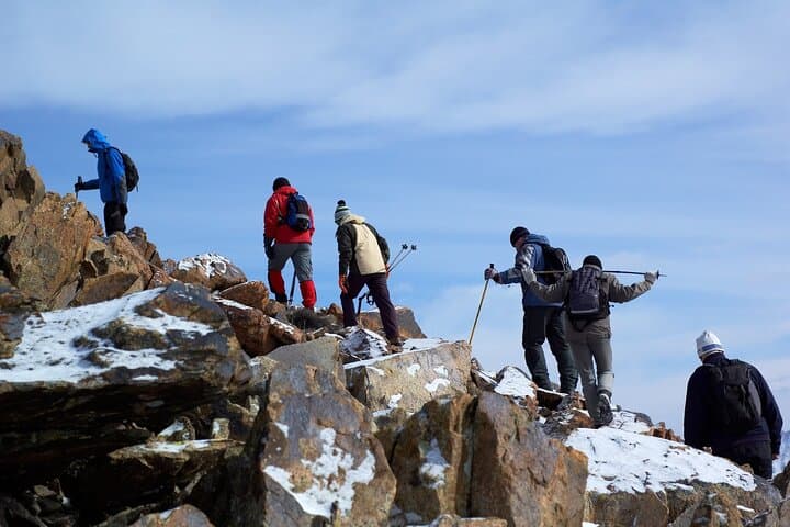
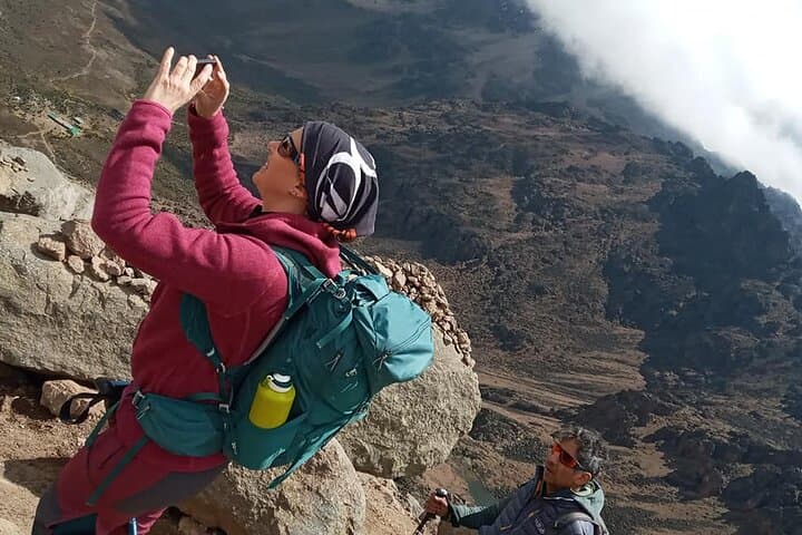
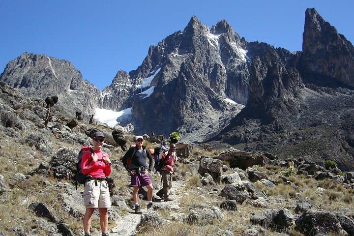
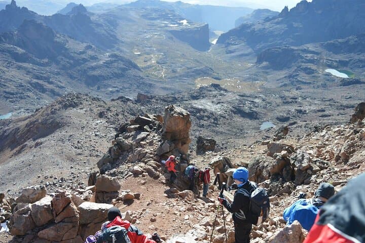
Dawn on the Naro Moru track is thin and cold; headlamps carve cones through eucalyptus as the trail climbs out of the rainforest toward Met Station. The route moves fast: forested ridge-walks at 2,600–3,000m give way to moorland, then the notorious vertical bog that tests boots and patience before opening onto the wide Teleki Valley and the ice-scarred slopes below the Lewis and Tryndall ridges.
Dawn on the Naro Moru track is thin and cold; headlamps carve cones through eucalyptus as the trail climbs out of the rainforest toward Met Station. The route moves fast: forested ridge-walks at 2,600–3,000m give way to moorland, then the notorious vertical bog that tests boots and patience before opening onto the wide Teleki Valley and the ice-scarred slopes below the Lewis and Tryndall ridges.
This classic four-day itinerary was established by colonial-era surveyors and later adopted by Kenyan guides as the quickest route to Point Lenana (approx. 4,985m). Geologically Mount Kenya is an extinct stratovolcano, its cores of syenite and lava intrusions carved into cirques and glaciers; the Naro Moru route showcases moorland heaths, bog plains, and the summit’s alpine scree.
Local communities in Naro Moru and nearby towns historically provided porters and guides; today conservation fees fund park rangers and upkeep of trails. Expect weather swings—sunny mornings, heavy afternoon mists, and freezing summit winds—so timing matters. Many groups start the summit push around 2:00 a.m. to reach Point Lenana at sunrise.
Practically: allow four days with moderate-to-strong fitness, pack warm layers, gaiters for the bog, and a reliable headlamp. Acclimatize if possible with an extra night at Naromoru River Lodge. Bring cash for tips and small supplies; treated water is often provided on trek. The route is non-technical but altitude and terrain demand respect—plan for slow, steady pacing, hydrate, and follow your guide’s instructions for a safe summit day.