THE ADVENTURE COLLECTIVE® · Independent discovery and booking for outdoor travel

Drive the Ha Giang Loop over four days and trade highway haste for hairpin turns, remote villages and soaring karst ridges. This private, all-inclusive car tour pairs cultural visits with dramatic viewpoints and a boat ride through Tu San canyon.
Drive the Ha Giang Loop over four days and trade highway haste for hairpin turns, remote villages and soaring karst ridges. This private, all-inclusive car tour pairs cultural visits with dramatic viewpoints and a boat ride through Tu San canyon.
A low-slung car slides out of Ha Giang city at dawn, mountain silhouettes growing sharp against a pale sky. The road climbs in hairpin turns; limestone ridges and terraced fields unfold like chapters. Villages appear on narrow ridgelines, their wooden houses watching the pass as much as visitors watch them.
Verified experiences and guided adventures in the surrounding area.
Operated by Local Tours SAPA · Ha Giang, Ha Giang Province
A low-slung car slides out of Ha Giang city at dawn, mountain silhouettes growing sharp against a pale sky. The road climbs in hairpin turns; limestone ridges and terraced fields unfold like chapters. Villages appear on narrow ridgelines, their wooden houses watching the pass as much as visitors watch them.
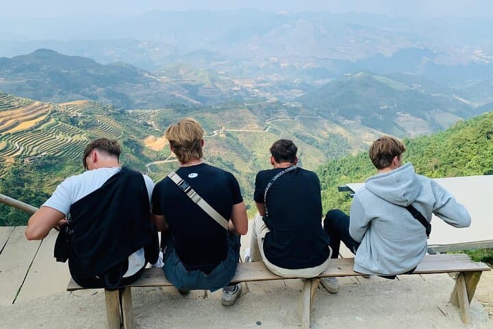
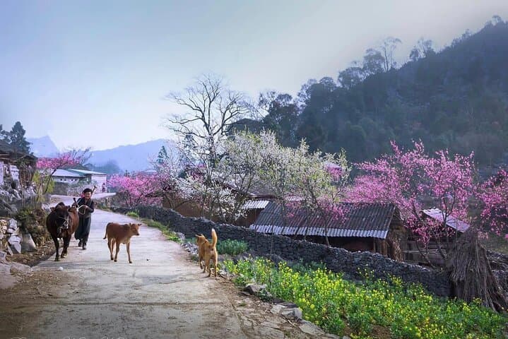
This four-day loop moves through the Dong Van karst plateau, Ma Pi Leng’s vertiginous pass and the Lung Cu flagpole at Vietnam’s northerly tip. Geologically the region is a weathered karst landscape carved by repeated uplift and erosion, producing steep canyons and isolated towers. Culturally, the route threads H'Mong, Tay and Lo Lo communities whose craft, dress and clan houses reflect centuries of highland life — the Vuong family mansion in Sa Phin is a tangible intersection of H'Mong, French and Chinese influences.
Expect a mix of paved and rough mountain roads, short village walks on uneven paths, and a boat trip on the Nho Que River through Tu San canyon. Weather can flip quickly; mornings are cool, afternoons warm and rains common in summer.
Practical guidance: travel by private car minimizes fatigue from winding roads and gives flexibility for photo stops; bring layered clothing, sturdy shoes and a compact rain shell. Hydrate before long drives and carry cash — many homestays and markets are cash-only. Allow time to slow your pace: the best encounters are informal, at market stalls, weaving houses or a homestay dinner around a wood fire.
moderate.
4 days.
Suitable for travelers in average fitness who can manage short walks on uneven village paths and tolerate long drives.
The itinerary involves mostly car travel with short walks; it’s suitable for travelers of average fitness, but those with mobility issues should note uneven village paths and steps.
Yes — the tour lists breakfasts, lunches and dinners as included and provides local homestays or hotels each night as part of the all-inclusive package.
Guides typically accommodate common dietary requests if informed in advance — indicate allergies or preferences when booking.
September–November and March–May offer cooler, drier weather and clearer views; summer brings heavy rain but also lush scenery and buckwheat or corn blooms.
The Ha Giang Loop crosses territories long inhabited by H'Mong, Tay and Lo Lo peoples; the Vuong family mansion in Sa Phin reflects local authority during colonial and early-20th-century eras.
The karst plateau is ecologically sensitive; stick to trails, avoid single-use plastics and support local homestays to keep tourism benefits in communities.
Local Tours SAPA operates guided outdoor trips and adventures with an emphasis on safety, stewardship, and memorable experiences.
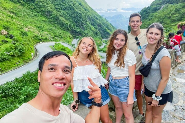
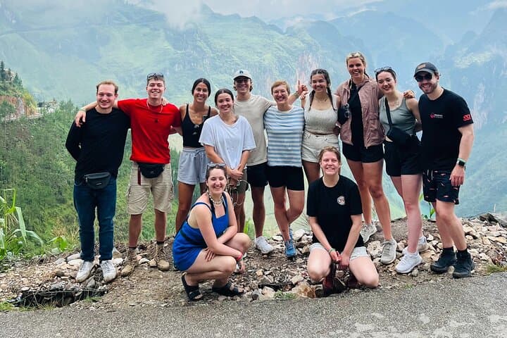
A low-slung car slides out of Ha Giang city at dawn, mountain silhouettes growing sharp against a pale sky. The road climbs in hairpin turns; limestone ridges and terraced fields unfold like chapters. Villages appear on narrow ridgelines, their wooden houses watching the pass as much as visitors watch them.
A low-slung car slides out of Ha Giang city at dawn, mountain silhouettes growing sharp against a pale sky. The road climbs in hairpin turns; limestone ridges and terraced fields unfold like chapters. Villages appear on narrow ridgelines, their wooden houses watching the pass as much as visitors watch them.
This four-day loop moves through the Dong Van karst plateau, Ma Pi Leng’s vertiginous pass and the Lung Cu flagpole at Vietnam’s northerly tip. Geologically the region is a weathered karst landscape carved by repeated uplift and erosion, producing steep canyons and isolated towers. Culturally, the route threads H'Mong, Tay and Lo Lo communities whose craft, dress and clan houses reflect centuries of highland life — the Vuong family mansion in Sa Phin is a tangible intersection of H'Mong, French and Chinese influences.
Expect a mix of paved and rough mountain roads, short village walks on uneven paths, and a boat trip on the Nho Que River through Tu San canyon. Weather can flip quickly; mornings are cool, afternoons warm and rains common in summer.
Practical guidance: travel by private car minimizes fatigue from winding roads and gives flexibility for photo stops; bring layered clothing, sturdy shoes and a compact rain shell. Hydrate before long drives and carry cash — many homestays and markets are cash-only. Allow time to slow your pace: the best encounters are informal, at market stalls, weaving houses or a homestay dinner around a wood fire.