THE ADVENTURE COLLECTIVE® · Independent discovery and booking for outdoor travel

A three-day route from Marrakech through Imlil to the summit of Jbel Toubkal, North Africa’s highest peak. Expect steep stone trails, refuge nights at 3,207 m, and expansive High Atlas panoramas—best for hikers with solid fitness and a taste for alpine terrain.
A three-day route from Marrakech through Imlil to the summit of Jbel Toubkal, North Africa’s highest peak. Expect steep stone trails, refuge nights at 3,207 m, and expansive High Atlas panoramas—best for hikers with solid fitness and a taste for alpine terrain.
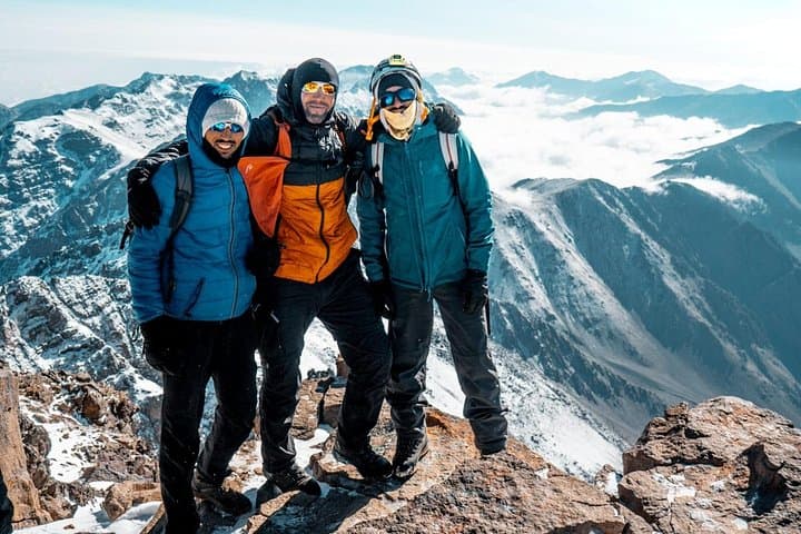
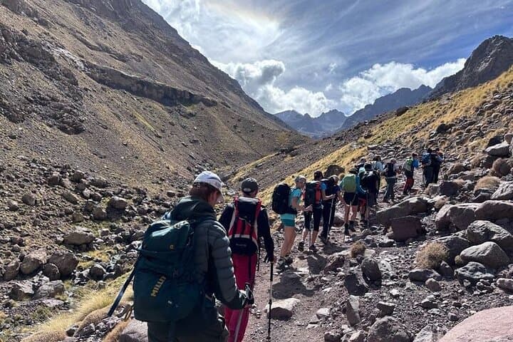
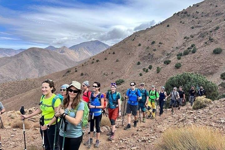
Early morning light slants across roadside argan trees as the minivan climbs from Marrakech toward the High Atlas. By the time the valley of Imlil appears—whitewashed houses perched on steep terraces and mules plodding below—you feel the mountain drawing you in. The trail begins with narrow farm tracks through Aït Mizane, then tightens into steep stone steps that push upward toward the refuge at 3,207 m. On summit day the ridge and scree demand steady feet; at 4,167 m Jbel Toubkal opens views that stretch north to the plains and, on clear days, toward the distant Anti-Atlas and Sahara.
Verified experiences and guided adventures in the surrounding area.
Operated by Morocco Next · Marrakech, Marrakech-Safi
Early morning light slants across roadside argan trees as the minivan climbs from Marrakech toward the High Atlas. By the time the valley of Imlil appears—whitewashed houses perched on steep terraces and mules plodding below—you feel the mountain drawing you in. The trail begins with narrow farm tracks through Aït Mizane, then tightens into steep stone steps that push upward toward the refuge at 3,207 m. On summit day the ridge and scree demand steady feet; at 4,167 m Jbel Toubkal opens views that stretch north to the plains and, on clear days, toward the distant Anti-Atlas and Sahara.
Geology here is the story of continental collision: folded and uplifted metamorphic rock carved over millennia, with quick seasonal shifts between dust and snow. Culturally, the High Atlas is Berber country—Aremd and Imlil are working villages where guesthouses and muleteers support treks, and small shrines like Sidi Chamarouch mark traditional stopping points.
Practical guidance: this itinerary covers roughly 1,400 m of gain from Imlil to the refuge (4–5 hrs) and another ~960 m to the summit (4–6 hrs). Trails are rocky, often loose; trekking poles cut fatigue and protect knees on the descent. Start before dawn on summit day to avoid afternoon weather, carry 2–3 liters of water, layer for rapid temperature swings, and factor in at least moderate prior hiking experience. Accommodation is in a simple mountain refuge; porter support is typically available if you prefer lighter daysacks. Expect basic facilities, rewardingly wide views, and the steady welcome of local guides who know the mountain’s moods.
challenging.
3 days (4–6 hours hiking per day on average).
Should be in good aerobic condition; regular hill training and multi-hour hikes beforehand are recommended
A local guide is strongly recommended for safety, navigation, and cultural context; many operators include a guide and mule support in the package.
Expect a long, sustained ascent of around 900–1,000 m over loose rock and scree—stamina and steady pacing are essential.
Overnights are in a basic mountain refuge with dormitory beds and simple meals; bring a warm sleeping layer and any personal essentials.
Late spring through early autumn offers stable trail conditions; winter brings snow and requires winter gear and experience.
The High Atlas has long been inhabited by Berber communities who used these passes for seasonal grazing and trade; villages retain distinct architecture and local languages.
This is an alpine ecosystem sensitive to erosion and litter; stick to trails, carry out waste, and use local guides whose work supports village economies.
Morocco Next operates guided outdoor trips and adventures with an emphasis on safety, stewardship, and memorable experiences.
Early morning light slants across roadside argan trees as the minivan climbs from Marrakech toward the High Atlas. By the time the valley of Imlil appears—whitewashed houses perched on steep terraces and mules plodding below—you feel the mountain drawing you in. The trail begins with narrow farm tracks through Aït Mizane, then tightens into steep stone steps that push upward toward the refuge at 3,207 m. On summit day the ridge and scree demand steady feet; at 4,167 m Jbel Toubkal opens views that stretch north to the plains and, on clear days, toward the distant Anti-Atlas and Sahara.
Early morning light slants across roadside argan trees as the minivan climbs from Marrakech toward the High Atlas. By the time the valley of Imlil appears—whitewashed houses perched on steep terraces and mules plodding below—you feel the mountain drawing you in. The trail begins with narrow farm tracks through Aït Mizane, then tightens into steep stone steps that push upward toward the refuge at 3,207 m. On summit day the ridge and scree demand steady feet; at 4,167 m Jbel Toubkal opens views that stretch north to the plains and, on clear days, toward the distant Anti-Atlas and Sahara.
Geology here is the story of continental collision: folded and uplifted metamorphic rock carved over millennia, with quick seasonal shifts between dust and snow. Culturally, the High Atlas is Berber country—Aremd and Imlil are working villages where guesthouses and muleteers support treks, and small shrines like Sidi Chamarouch mark traditional stopping points.
Practical guidance: this itinerary covers roughly 1,400 m of gain from Imlil to the refuge (4–5 hrs) and another ~960 m to the summit (4–6 hrs). Trails are rocky, often loose; trekking poles cut fatigue and protect knees on the descent. Start before dawn on summit day to avoid afternoon weather, carry 2–3 liters of water, layer for rapid temperature swings, and factor in at least moderate prior hiking experience. Accommodation is in a simple mountain refuge; porter support is typically available if you prefer lighter daysacks. Expect basic facilities, rewardingly wide views, and the steady welcome of local guides who know the mountain’s moods.