THE ADVENTURE COLLECTIVE® · Independent discovery and booking for outdoor travel

A three-day guided trek from Marrakech to Mt. Toubkal combines steep, high-altitude hiking with nights in mountain lodges. Expect long ascents, granite ridgelines, and close encounters with Berber village life.
A three-day guided trek from Marrakech to Mt. Toubkal combines steep, high-altitude hiking with nights in mountain lodges. Expect long ascents, granite ridgelines, and close encounters with Berber village life.
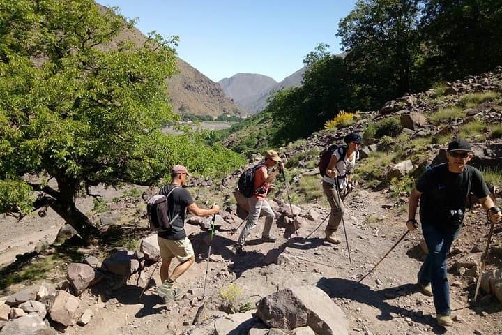
Morning light strips the valley bare as the driver peels away from Marrakech and the High Atlas folds into view — chiseled ridges, sun-bright scree, and villages of flat-roofed stone. By the time you reach Imlil and the hamlet of Aremd, mules are rearranging packs and the guides are checking ropes and maps; the mountains aren’t theatrical, they’re exacting.
Verified experiences and guided adventures in the surrounding area.
Operated by Smart Morocco Tours Excursions · Imlil, Marrakech-Safi
Morning light strips the valley bare as the driver peels away from Marrakech and the High Atlas folds into view — chiseled ridges, sun-bright scree, and villages of flat-roofed stone. By the time you reach Imlil and the hamlet of Aremd, mules are rearranging packs and the guides are checking ropes and maps; the mountains aren’t theatrical, they’re exacting.
This three-day route follows traditional Berber tracks that have carried shepherds and traders for centuries. Geologically, Toubkal is part of the Atlas range — a collision-born chain of granite and schist that pushes Alpine elevations into the Saharan edge. Cultural fragments appear as stone terraces, simple qanat-fed fields, and the warm logic of mountain lodges where local hosts share tagines and stories.
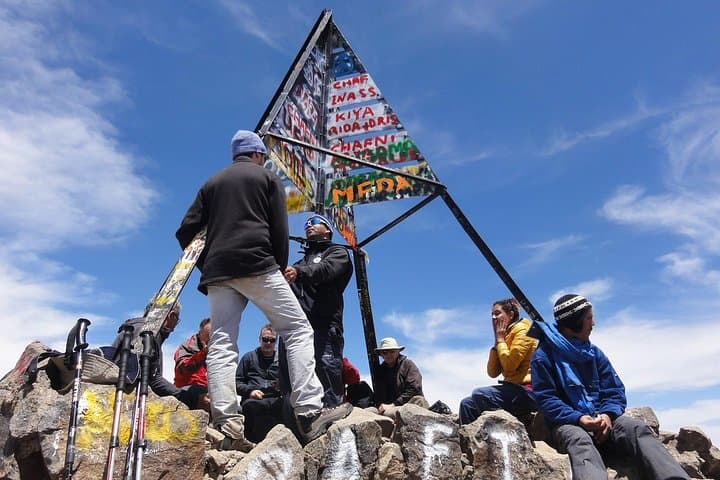
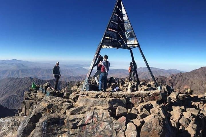
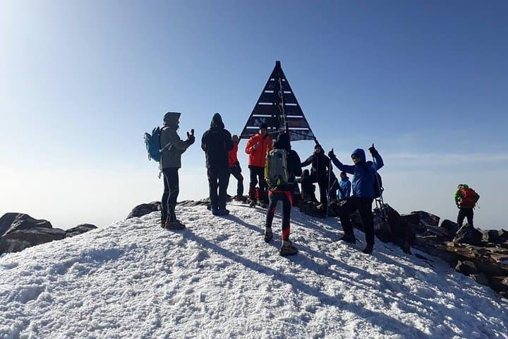
Day one is an easy approach to 1,900m; day two climbs roughly 1,200m to Neltner Refuge at ~3,200m; day three leaves early for the 3,967m summit and a descent back to Imlil. Expect rocky mule tracks, steep switchbacks, and an exposed final ridge in winter conditions. Weather can turn fast — sun can scorch at lower elevations, while winds knife the summit.
Practical guide: train on sustained uphill hikes with packs, break in sturdy boots, and acclimatize where possible. Carry layered clothing, sun protection, and 2–3L water capacity; altitude makes even moderate efforts feel harder. Travel with a licensed guide, respect local customs, and leave no trace — the Atlas rewards patience and practical preparation.
challenging.
3 days.
Good cardiovascular fitness with experience on sustained uphill hikes; comfortable carrying a daypack for 6–8 hours.
From Neltner Refuge the ascent is about 3 hours on steep, rocky slopes; pace yourself, use poles, and allow time for the altitude.
No technical equipment is required in summer; crampons and an ice axe may be needed in winter and will be provided by the operator if required.
This tour typically includes transport from Marrakech, accommodation in lodges/refuge, guide services, and specified meals as outlined in the itinerary.
Minimum age is 14; participants should have moderate to good fitness and no serious cardiovascular issues — consult the operator for specific health concerns.
Berber communities have traversed these passes for centuries; trails connect seasonal pastures and small stone hamlets with deep local traditions.
The High Atlas faces erosion and water stress; stick to established paths, avoid single-use plastics, and hire local guides to support sustainable tourism.
Smart Morocco Tours Excursions operates guided outdoor trips and adventures with an emphasis on safety, stewardship, and memorable experiences.
Morning light strips the valley bare as the driver peels away from Marrakech and the High Atlas folds into view — chiseled ridges, sun-bright scree, and villages of flat-roofed stone. By the time you reach Imlil and the hamlet of Aremd, mules are rearranging packs and the guides are checking ropes and maps; the mountains aren’t theatrical, they’re exacting.
Morning light strips the valley bare as the driver peels away from Marrakech and the High Atlas folds into view — chiseled ridges, sun-bright scree, and villages of flat-roofed stone. By the time you reach Imlil and the hamlet of Aremd, mules are rearranging packs and the guides are checking ropes and maps; the mountains aren’t theatrical, they’re exacting.
This three-day route follows traditional Berber tracks that have carried shepherds and traders for centuries. Geologically, Toubkal is part of the Atlas range — a collision-born chain of granite and schist that pushes Alpine elevations into the Saharan edge. Cultural fragments appear as stone terraces, simple qanat-fed fields, and the warm logic of mountain lodges where local hosts share tagines and stories.
Day one is an easy approach to 1,900m; day two climbs roughly 1,200m to Neltner Refuge at ~3,200m; day three leaves early for the 3,967m summit and a descent back to Imlil. Expect rocky mule tracks, steep switchbacks, and an exposed final ridge in winter conditions. Weather can turn fast — sun can scorch at lower elevations, while winds knife the summit.
Practical guide: train on sustained uphill hikes with packs, break in sturdy boots, and acclimatize where possible. Carry layered clothing, sun protection, and 2–3L water capacity; altitude makes even moderate efforts feel harder. Travel with a licensed guide, respect local customs, and leave no trace — the Atlas rewards patience and practical preparation.