THE ADVENTURE COLLECTIVE® · Independent discovery and booking for outdoor travel

A compact three-day outing from Kathmandu that combines a long drive to Tarke Gyang, an overnight tea-house stay at 2,600 m, and a full-day ascent to Ama Yangri (3,771 m). Ideal for travelers who want a high ridge view without a long trek.
A compact three-day outing from Kathmandu that combines a long drive to Tarke Gyang, an overnight tea-house stay at 2,600 m, and a full-day ascent to Ama Yangri (3,771 m). Ideal for travelers who want a high ridge view without a long trek.
The morning bus peels away from Thamel’s bustle and climbs into a quieter world: terraced fields slide past the window, small shrines watch the road, and the air gets thinner and cleaner as you near Tarke Gyang.
Verified experiences and guided adventures in the surrounding area.
Operated by Happyland Treks · Tarke Gyang, Bagmati Province
The morning bus peels away from Thamel’s bustle and climbs into a quieter world: terraced fields slide past the window, small shrines watch the road, and the air gets thinner and cleaner as you near Tarke Gyang.
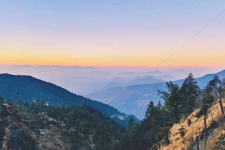
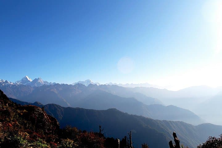
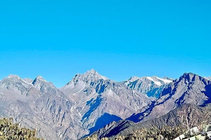
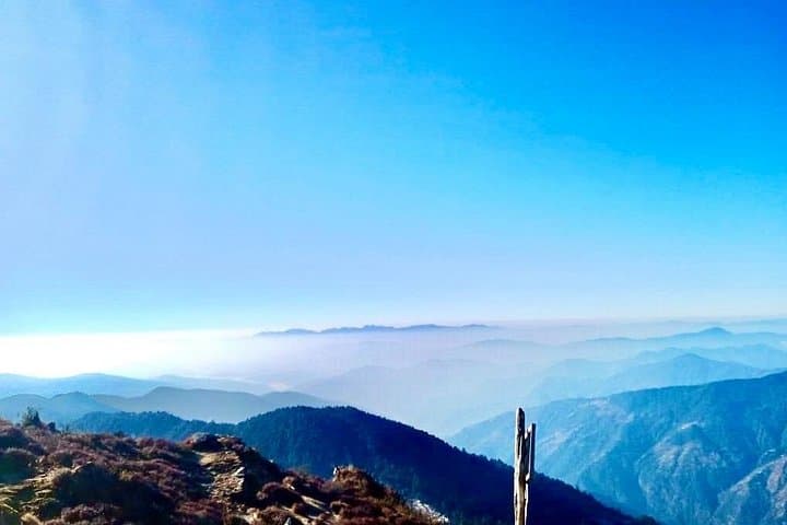
After a night in a simple trekking tea house at about 2,600 m, an early start takes you up a steep, often grassy ridge toward Ama Yangri (3,771 m). The trail pushes through pine and rhododendron patches, then opens to exposed slopes where the Himalaya range commands the horizon — Annapurna and Langtang peaks make distant appearances on a clear day. The summit is a compact, windswept promontory that rewards effort with a panoramic sweep of snowcaps and deep green valleys below.
The route sits on geology of folded sedimentary and metamorphic rock typical of the central Nepalese mid-hills; ridges were uplifted by the collision of the Indian and Eurasian plates, and small stone walls and prayer flags mark human adaptation to the landscape.
Local culture is visible at every step: farmers’ terraces, mani stones, and the hospitality of tea-house operators who provide hot dal bhat and a place to dry socks. The hike is short but sharp — expect sustained uphill and a steep descent the same day.
Practical guidance: plan for a 4–6 hour round-trip hike on the summit day with ~1,170 m of elevation gain, sturdy boots, layered clothing for changing exposure, and at least 2–3 liters of water. Start before dawn to avoid afternoon winds and to catch clear mountain light. Altitude achiness is possible; move steadily, hydrate, and communicate any symptoms to your guide.
moderate.
3 days (approx.).
Suitable for travelers in good general health with the ability to hike several hours with sustained uphill sections; some stair-climbing fitness helps.
The summit day is a steep, sustained climb with about 1,170 m elevation gain; it’s rated moderate and suitable for hikers who can manage several hours of uphill walking.
No technical mountaineering experience is required, but previous day-hiking experience and basic fitness are recommended due to the rapid gain in elevation.
You’ll stay in local trekking tea houses in Tarke Gyang (around 2,600 m), which offer simple rooms and cooked meals like dal bhat.
Yes—any ascent above 2,500 m can cause symptoms; move slowly, stay hydrated, and inform your guide if you feel headache, nausea, or confusion.
The mid-hill routes around Kathmandu have long connected valley towns and hill villages; local pathways were used for trade, pilgrimage, and seasonal grazing.
Travelers should stick to established trails, avoid single-use plastics in tea houses, and respect local water and fuel resources to reduce impact.
Happyland Treks operates guided outdoor trips and adventures with an emphasis on safety, stewardship, and memorable experiences.
The morning bus peels away from Thamel’s bustle and climbs into a quieter world: terraced fields slide past the window, small shrines watch the road, and the air gets thinner and cleaner as you near Tarke Gyang.
The morning bus peels away from Thamel’s bustle and climbs into a quieter world: terraced fields slide past the window, small shrines watch the road, and the air gets thinner and cleaner as you near Tarke Gyang.
After a night in a simple trekking tea house at about 2,600 m, an early start takes you up a steep, often grassy ridge toward Ama Yangri (3,771 m). The trail pushes through pine and rhododendron patches, then opens to exposed slopes where the Himalaya range commands the horizon — Annapurna and Langtang peaks make distant appearances on a clear day. The summit is a compact, windswept promontory that rewards effort with a panoramic sweep of snowcaps and deep green valleys below.
The route sits on geology of folded sedimentary and metamorphic rock typical of the central Nepalese mid-hills; ridges were uplifted by the collision of the Indian and Eurasian plates, and small stone walls and prayer flags mark human adaptation to the landscape.
Local culture is visible at every step: farmers’ terraces, mani stones, and the hospitality of tea-house operators who provide hot dal bhat and a place to dry socks. The hike is short but sharp — expect sustained uphill and a steep descent the same day.
Practical guidance: plan for a 4–6 hour round-trip hike on the summit day with ~1,170 m of elevation gain, sturdy boots, layered clothing for changing exposure, and at least 2–3 liters of water. Start before dawn to avoid afternoon winds and to catch clear mountain light. Altitude achiness is possible; move steadily, hydrate, and communicate any symptoms to your guide.