THE ADVENTURE COLLECTIVE® · Independent discovery and booking for outdoor travel

Two days from Marrakech, this guided trek takes you from Imlil to the refuge below Jbel Toubkal and up to North Africa’s highest summit at 4,167 m. Expect steep scree, wide views and a night in a mountain refuge with shared meals and local guides.
Two days from Marrakech, this guided trek takes you from Imlil to the refuge below Jbel Toubkal and up to North Africa’s highest summit at 4,167 m. Expect steep scree, wide views and a night in a mountain refuge with shared meals and local guides.
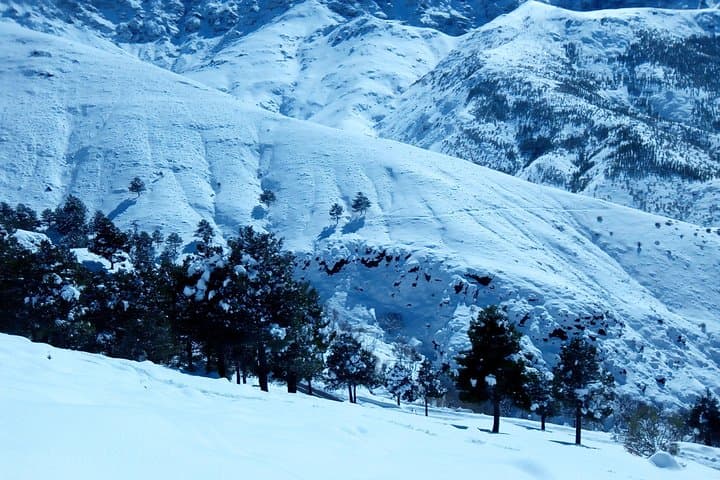
At first light the trail out of Imlil carves up through dry-stone terraces and walnut groves, the path threading between whitewashed Berber houses and gullies that gather the Atlas’ winter runoff.
Verified experiences and guided adventures in the surrounding area.
Operated by Toubkal life trekking · Imlil, Marrakech-Safi
At first light the trail out of Imlil carves up through dry-stone terraces and walnut groves, the path threading between whitewashed Berber houses and gullies that gather the Atlas’ winter runoff.
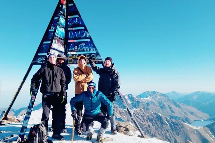
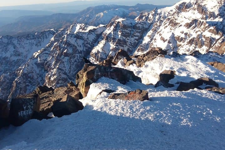
By dusk the refuge at 3,200 m feels like a small, heated hub—mugs of mint tea, shared stories, and room to sort boots for the next day’s push. On day two the route steepens: loose scree, sharp switchbacks and a final rocky crown that opens, abruptly, onto the summit plateau at 4,167 m with views that throw Marrakech’s palms far north and the desert haze to the south.
Geology and history are visible in the trail—folded metamorphic rock and pink granite born of the Africa–Eurasia collision, and centuries-old mule tracks used by Amazigh (Berber) communities trading salt and barley across passes.
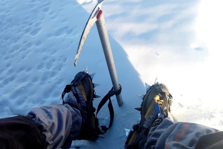
Practical guidance is straightforward. Start very early for the summit to avoid wind and afternoon haze, pace conservatively and drink frequently to reduce altitude effects. Expect 1,400 m of ascent on day one and another 960 m to the summit; terrain ranges from firm singletrack to loose talus. In winter and late spring, crampons and an ice axe may be required; summer ascents are dry but exposed. Guides from Imlil manage logistics—meals, refuge bedding and local porters—so pack light but smart: warm layers, reliable boots, sun protection and a headlamp. Respect local culture: ask before photographing villages and carry out waste. The climb rewards effort with raw, open panoramas and the quiet authority of North Africa’s highest peak.
challenging.
2 days.
Good cardiovascular fitness and prior hill-trekking experience; comfortable with long days and sustained climbs.
It’s a demanding trek with long uphill sections and high altitude; expect sustained climbs and 8–12 hour summit-day effort depending on pace.
For most summer ascents standard trekking gear suffices; in winter or icy conditions guides may require crampons and an ice axe, which are often available to rent in Imlil.
Mountain refuges use dormitory-style bunks with shared facilities; bring a light sleeping liner unless otherwise specified by the operator.
Physically fit beginners with prior multi-hour hikes can complete it when accompanied by a guide, but be prepared for altitude and steep terrain.
The High Atlas has long been populated by Amazigh (Berber) communities; routes around Toubkal were historically trade and pastoral corridors between valleys.
Toubkal sees high visitor numbers—use established trails, avoid single-use plastics and hire local guides to support community-based tourism.
Toubkal life trekking operates guided outdoor trips and adventures with an emphasis on safety, stewardship, and memorable experiences.
At first light the trail out of Imlil carves up through dry-stone terraces and walnut groves, the path threading between whitewashed Berber houses and gullies that gather the Atlas’ winter runoff.
At first light the trail out of Imlil carves up through dry-stone terraces and walnut groves, the path threading between whitewashed Berber houses and gullies that gather the Atlas’ winter runoff.
By dusk the refuge at 3,200 m feels like a small, heated hub—mugs of mint tea, shared stories, and room to sort boots for the next day’s push. On day two the route steepens: loose scree, sharp switchbacks and a final rocky crown that opens, abruptly, onto the summit plateau at 4,167 m with views that throw Marrakech’s palms far north and the desert haze to the south.
Geology and history are visible in the trail—folded metamorphic rock and pink granite born of the Africa–Eurasia collision, and centuries-old mule tracks used by Amazigh (Berber) communities trading salt and barley across passes.
Practical guidance is straightforward. Start very early for the summit to avoid wind and afternoon haze, pace conservatively and drink frequently to reduce altitude effects. Expect 1,400 m of ascent on day one and another 960 m to the summit; terrain ranges from firm singletrack to loose talus. In winter and late spring, crampons and an ice axe may be required; summer ascents are dry but exposed. Guides from Imlil manage logistics—meals, refuge bedding and local porters—so pack light but smart: warm layers, reliable boots, sun protection and a headlamp. Respect local culture: ask before photographing villages and carry out waste. The climb rewards effort with raw, open panoramas and the quiet authority of North Africa’s highest peak.