THE ADVENTURE COLLECTIVE® · Independent discovery and booking for outdoor travel

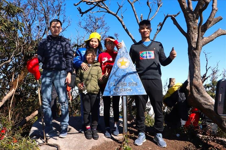
Two days on Ta Lien Son takes you from forest trails to a 2,996 m summit above the clouds. Expect steep ascents, mossy primeval woods, motorbike access to the trailhead and an overnight in high-altitude tents with local cultural exchanges.
Two days on Ta Lien Son takes you from forest trails to a 2,996 m summit above the clouds. Expect steep ascents, mossy primeval woods, motorbike access to the trailhead and an overnight in high-altitude tents with local cultural exchanges.
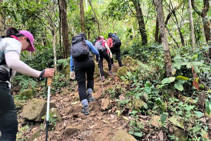
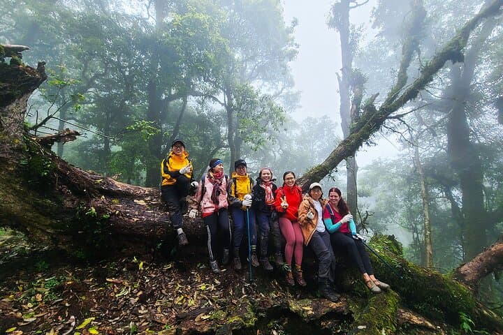
Dawn breaks through a band of clouds and the trail ahead is a green corridor of moss, maple and rhododendron. You mount your pack, the air at 2,500 meters tasting like cold tea, and a narrow path threads upward between ancient trunks. By nightfall you sleep under canvas with a forest lullaby; by morning the summit waits above a sea of mist.
Verified experiences and guided adventures in the surrounding area.
Operated by Authentic PHU QUOC · Tả Lèng, Lai Châu
Dawn breaks through a band of clouds and the trail ahead is a green corridor of moss, maple and rhododendron. You mount your pack, the air at 2,500 meters tasting like cold tea, and a narrow path threads upward between ancient trunks. By nightfall you sleep under canvas with a forest lullaby; by morning the summit waits above a sea of mist.
Ta Lien Son (Tả Liên Sơn) sits in Vietnam’s northwest highlands, a granite-and-shale spine carved by monsoon weather and glaciation remnants. Locals—the H’Mong and Dao communities—have long read the land for game, herbs and spiritual markers; the trek passes villages and trails that once linked market routes between Lai Châu and Sapa. Geologically, expect steep, rocky ridgelines and deep, humus-rich forest floors that feed rapid runoff in the rainy season.
Practically, the trip is a guided, multi-day circuit: a 10 km motorbike transfer to forest edge, roughly 20–25 km of hiking over two days with about 1,500–1,800 m total elevation gain, a campsite at ~2,500 m and a summit at 2,996 m. Trails vary from packed earth to exposed rock; trekking poles and waterproof layers are useful.
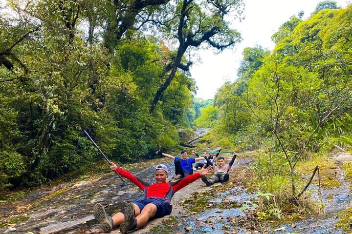
Plan for big temperature swings, limited mobile signal, and wet ground after rain. Hydrate early, break climbs into steady intervals, and respect local customs when passing villages. The route rewards persistent hikers with cloud-sea vistas, close forest encounters and a genuine cultural exchange at the campfire.
challenging.
2 days.
Requires good cardiovascular fitness and experience with sustained uphill hiking; able to carry a daypack for 6–8 hours.
You should be comfortable hiking 6–8 hours a day with elevation gain; the tour is guided and suitable for regular hikers but challenging for beginners.
Highland weather is changeable—cool to cold at night, warm midday when clear, and frequently wet in summer months; pack layers and rain protection.
The summit at ~2,996 m can affect some; go at a steady pace, hydrate, and inform guides if you feel unwell—guides are trained in first aid and rescue.
Yes—meals (breakfast, lunch, dinner), camping gear, some trekking equipment and a 1.5 L starter water bottle are included as listed by the operator.
Trails around Ta Lien Son trace traditional trade and footpaths used by H’Mong and Dao communities; villages retain unique textile and ritual craftsmanship.
The area is fragile—stick to trails, pack out waste, and use provided toilets at campsites; small-group trekking minimizes impact.
Authentic PHU QUOC operates guided outdoor trips and adventures with an emphasis on safety, stewardship, and memorable experiences.
Dawn breaks through a band of clouds and the trail ahead is a green corridor of moss, maple and rhododendron. You mount your pack, the air at 2,500 meters tasting like cold tea, and a narrow path threads upward between ancient trunks. By nightfall you sleep under canvas with a forest lullaby; by morning the summit waits above a sea of mist.
Dawn breaks through a band of clouds and the trail ahead is a green corridor of moss, maple and rhododendron. You mount your pack, the air at 2,500 meters tasting like cold tea, and a narrow path threads upward between ancient trunks. By nightfall you sleep under canvas with a forest lullaby; by morning the summit waits above a sea of mist.
Ta Lien Son (Tả Liên Sơn) sits in Vietnam’s northwest highlands, a granite-and-shale spine carved by monsoon weather and glaciation remnants. Locals—the H’Mong and Dao communities—have long read the land for game, herbs and spiritual markers; the trek passes villages and trails that once linked market routes between Lai Châu and Sapa. Geologically, expect steep, rocky ridgelines and deep, humus-rich forest floors that feed rapid runoff in the rainy season.
Practically, the trip is a guided, multi-day circuit: a 10 km motorbike transfer to forest edge, roughly 20–25 km of hiking over two days with about 1,500–1,800 m total elevation gain, a campsite at ~2,500 m and a summit at 2,996 m. Trails vary from packed earth to exposed rock; trekking poles and waterproof layers are useful.
Plan for big temperature swings, limited mobile signal, and wet ground after rain. Hydrate early, break climbs into steady intervals, and respect local customs when passing villages. The route rewards persistent hikers with cloud-sea vistas, close forest encounters and a genuine cultural exchange at the campfire.