THE ADVENTURE COLLECTIVE® · Independent discovery and booking for outdoor travel

Two days of high-Al Atlas trekking from Imlil to Jebel Toubkal’s summit, staying at the refuge and returning to Marrakech. Expect steep climbs, refuge hospitality, and alpine views above 4,000 meters.
Two days of high-Al Atlas trekking from Imlil to Jebel Toubkal’s summit, staying at the refuge and returning to Marrakech. Expect steep climbs, refuge hospitality, and alpine views above 4,000 meters.
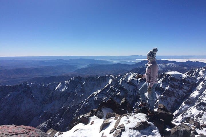
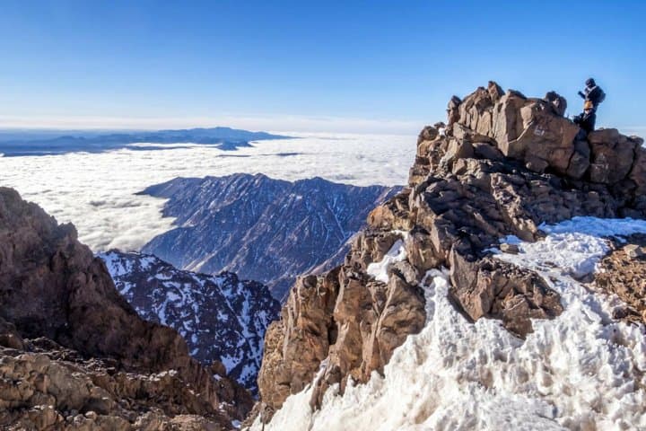
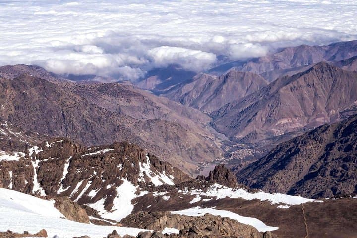
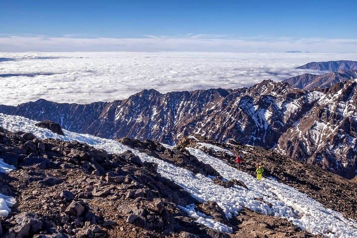
A cold dawn in Imlil, the village lights still low, sets the day. Mules stamp and a mountain guide checks your pack as you step onto stone switchbacks that climb out of the valley toward the refuge. The air thins and the High Atlas opens: a hard, wind-scoured landscape of granite ridges and terraced Berber fields giving way to scree and snow above 3,000 meters.
Verified experiences and guided adventures in the surrounding area.
Operated by Atlas Pathfinders · Imlil, Marrakesh-Safi
A cold dawn in Imlil, the village lights still low, sets the day. Mules stamp and a mountain guide checks your pack as you step onto stone switchbacks that climb out of the valley toward the refuge. The air thins and the High Atlas opens: a hard, wind-scoured landscape of granite ridges and terraced Berber fields giving way to scree and snow above 3,000 meters.
Toubkal has attracted climbers since the 1920s when European alpinists first mapped these slopes alongside local Berber communities. Geologically the range is young—uplifted and carved into steep valleys—so trails alternate between packed dirt, rocky sections and loose scree. Cultural markers appear along the way: the shrine of Sidi Chamharouch, traditional stone villages, and the hospitality of refuge life where mint tea and tagine restore tired legs.
Practically, expect two full days: roughly 6 hours of walking on day one from Imlil (1,740 m) to the refuge (around 3,200 m) with ~1,400 m of gain; day two begins pre-dawn for a 3–4 hour summit push to 4,167 m, then descent and transfer back to Marrakech. Terrain is steep and exposed in places; winter ascents require crampons and an ice axe. Hydrate well, layer for temperature swings, and use trekking poles for steep descents. The trip uses muleteers for luggage and a local guide—respect local customs and tip crew appropriately. With the right preparation this two-day itinerary delivers alpine views, Berber hospitality, and the compact satisfaction of standing on North Africa’s highest peak.
challenging.
2 days.
Requires a high level of cardiovascular fitness and comfort with sustained uphill hiking at altitude.
No technical climbing is required in summer, but you should have strong trekking experience and be comfortable with long uphill days; winter ascents require basic competence with crampons and an ice axe.
Temperatures at the refuge can drop below freezing at night; summit temperatures are significantly colder with wind chill—expect sub-zero conditions above 4,000 m in shoulder seasons and winter.
Yes—muleteers and mules are provided to carry luggage to the refuge so you only need a daypack for summit essentials.
The summit day typically starts around 5:00–5:30 a.m.; allow 3–4 hours to reach the summit and several hours for descent and transfer back to Imlil and Marrakech.
European alpinists mapped Toubkal in the 1920s while local Berber communities have inhabited the valleys for centuries, maintaining trail networks and mule logistics.
Trails can be eroded by high foot and mule traffic—stick to established paths, pack out waste, and support local guides who practice low-impact camping.
Atlas Pathfinders operates guided outdoor trips and adventures with an emphasis on safety, stewardship, and memorable experiences.
A cold dawn in Imlil, the village lights still low, sets the day. Mules stamp and a mountain guide checks your pack as you step onto stone switchbacks that climb out of the valley toward the refuge. The air thins and the High Atlas opens: a hard, wind-scoured landscape of granite ridges and terraced Berber fields giving way to scree and snow above 3,000 meters.
A cold dawn in Imlil, the village lights still low, sets the day. Mules stamp and a mountain guide checks your pack as you step onto stone switchbacks that climb out of the valley toward the refuge. The air thins and the High Atlas opens: a hard, wind-scoured landscape of granite ridges and terraced Berber fields giving way to scree and snow above 3,000 meters.
Toubkal has attracted climbers since the 1920s when European alpinists first mapped these slopes alongside local Berber communities. Geologically the range is young—uplifted and carved into steep valleys—so trails alternate between packed dirt, rocky sections and loose scree. Cultural markers appear along the way: the shrine of Sidi Chamharouch, traditional stone villages, and the hospitality of refuge life where mint tea and tagine restore tired legs.
Practically, expect two full days: roughly 6 hours of walking on day one from Imlil (1,740 m) to the refuge (around 3,200 m) with ~1,400 m of gain; day two begins pre-dawn for a 3–4 hour summit push to 4,167 m, then descent and transfer back to Marrakech. Terrain is steep and exposed in places; winter ascents require crampons and an ice axe. Hydrate well, layer for temperature swings, and use trekking poles for steep descents. The trip uses muleteers for luggage and a local guide—respect local customs and tip crew appropriately. With the right preparation this two-day itinerary delivers alpine views, Berber hospitality, and the compact satisfaction of standing on North Africa’s highest peak.