THE ADVENTURE COLLECTIVE® · Independent discovery and booking for outdoor travel

An 11-day route that pairs a classic trek to Nanga Parbat’s Raikot face with a road expedition through Hunza and Gojal. Expect long drives, alpine meadows, and bold mountain scenery with practical acclimatization built into the schedule.
An 11-day route that pairs a classic trek to Nanga Parbat’s Raikot face with a road expedition through Hunza and Gojal. Expect long drives, alpine meadows, and bold mountain scenery with practical acclimatization built into the schedule.
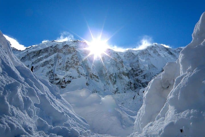
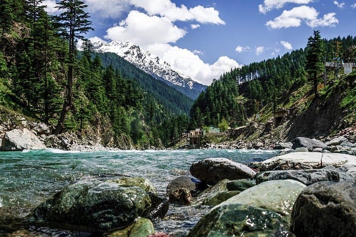
You stand on a grassy ledge as dawn pulls a pale rope of light across Nanga Parbat’s north face; cold air carries the distant clatter of rock and the steady whisper of the Indus far below. The itinerary threads from Islamabad’s city traffic into the high valleys—Chilas, Fairy Meadows, the base of Nanga Parbat, then north through Hunza and the high-altitude desert of Gojal to Khunjerab Pass.
Verified experiences and guided adventures in the surrounding area.
Operated by azan travel and tourism services · Chilas, Gilgit-Baltistan
You stand on a grassy ledge as dawn pulls a pale rope of light across Nanga Parbat’s north face; cold air carries the distant clatter of rock and the steady whisper of the Indus far below. The itinerary threads from Islamabad’s city traffic into the high valleys—Chilas, Fairy Meadows, the base of Nanga Parbat, then north through Hunza and the high-altitude desert of Gojal to Khunjerab Pass.
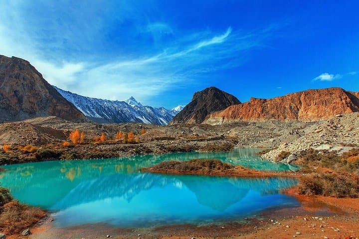
Geology here is blunt and active: Nanga Parbat marks the western terminus of the Himalayan uplift where crags of granite and glacial cirques plunge toward the Indus. Culturally the region blends Shina and Burusho communities, with centuries-old forts at Altit and Baltit that reflect trade routes to Central Asia. Attabad’s turquoise lake—created by a 2010 landslide—now interrupts the Karakoram Highway with a vivid reminder of ongoing landscape change.
Practically, expect a mix of long vehicle transfers and several days of moderate-to-steep hiking from Fairy Meadows to the base camp. Trails vary from well-worn alpine meadows to rocky, sometimes muddy switchbacks; altitude gain is gradual but real—plan for slow pacing and one full rest/acclimatization day. Bring layered insulation, reliable footwear, and a daylight headlamp for early starts. Hydrate proactively, carry a small first-aid kit, and confirm local pickup points in Islamabad or Gilgit. Weather can flip quickly; mornings are prime for views, afternoons for clouds. Guides and local porters handle most logistics on organized trips—so focus on rhythm: walk, look up, sip tea, and let the mountain demand your attention.
challenging.
11 days.
Moderate to fit — you should be comfortable hiking 3–6 hours on uneven terrain and managing basic altitude effects.
Late spring to early autumn (May–September) offers the most stable weather and open access on the Karakoram Highway and trails.
No special foreign tourist permits for Fairy Meadows, but you must carry ID and any permits required for Khunjerab National Park when visiting the high border areas.
The approach from Fairy Meadows is moderate in technical difficulty but involves sustained uphill sections and high-altitude exposure—good fitness and acclimatization are essential.
Beginners can join if they are reasonably fit and follow guide instructions; organized tours include rest days and logistical support to assist less experienced trekkers.
Nanga Parbat—literally 'naked mountain'—has long stood at the geological crossroads where the Himalaya meets the Karakoram; nearby valleys hosted Silk Road-era trade and fortified settlements.
The high valleys are ecologically fragile; stick to established trails, pack out waste, and respect local grazing regimes and protected areas like Khunjerab National Park.
azan travel and tourism services operates guided outdoor trips and adventures with an emphasis on safety, stewardship, and memorable experiences.
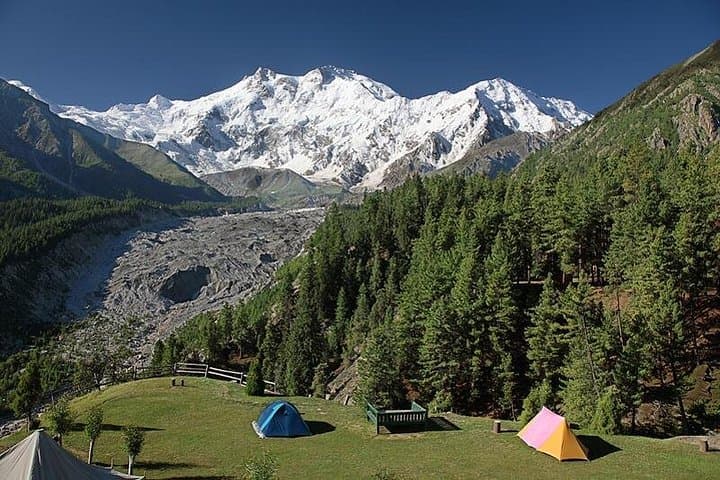
You stand on a grassy ledge as dawn pulls a pale rope of light across Nanga Parbat’s north face; cold air carries the distant clatter of rock and the steady whisper of the Indus far below. The itinerary threads from Islamabad’s city traffic into the high valleys—Chilas, Fairy Meadows, the base of Nanga Parbat, then north through Hunza and the high-altitude desert of Gojal to Khunjerab Pass.
You stand on a grassy ledge as dawn pulls a pale rope of light across Nanga Parbat’s north face; cold air carries the distant clatter of rock and the steady whisper of the Indus far below. The itinerary threads from Islamabad’s city traffic into the high valleys—Chilas, Fairy Meadows, the base of Nanga Parbat, then north through Hunza and the high-altitude desert of Gojal to Khunjerab Pass.
Geology here is blunt and active: Nanga Parbat marks the western terminus of the Himalayan uplift where crags of granite and glacial cirques plunge toward the Indus. Culturally the region blends Shina and Burusho communities, with centuries-old forts at Altit and Baltit that reflect trade routes to Central Asia. Attabad’s turquoise lake—created by a 2010 landslide—now interrupts the Karakoram Highway with a vivid reminder of ongoing landscape change.
Practically, expect a mix of long vehicle transfers and several days of moderate-to-steep hiking from Fairy Meadows to the base camp. Trails vary from well-worn alpine meadows to rocky, sometimes muddy switchbacks; altitude gain is gradual but real—plan for slow pacing and one full rest/acclimatization day. Bring layered insulation, reliable footwear, and a daylight headlamp for early starts. Hydrate proactively, carry a small first-aid kit, and confirm local pickup points in Islamabad or Gilgit. Weather can flip quickly; mornings are prime for views, afternoons for clouds. Guides and local porters handle most logistics on organized trips—so focus on rhythm: walk, look up, sip tea, and let the mountain demand your attention.