THE ADVENTURE COLLECTIVE® · Independent discovery and booking for outdoor travel

A compact Himalayan trek that pairs cultural villages and teahouse nights with a non-technical summit of Yala Peak (5,520 m). Ideal for fit trekkers ready for altitude, snow steps, and panoramic ridge views.
A compact Himalayan trek that pairs cultural villages and teahouse nights with a non-technical summit of Yala Peak (5,520 m). Ideal for fit trekkers ready for altitude, snow steps, and panoramic ridge views.
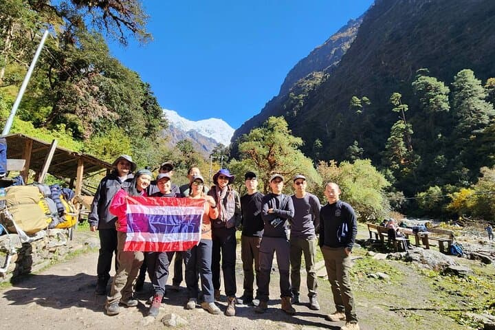
Morning light spills down the Langtang Valley and the trail hums with the steady crunch of boots on packed earth. Trekkers leave Syabrubesi (≈1,500 m) behind and move through rhododendron and oak, cross suspension bridges, and follow rivers that seem to push them higher.
Verified experiences and guided adventures in the surrounding area.
Operated by Peak to Peak Tours and Treks Pvt Ltd · Syabrubesi, Bagmati Province
Morning light spills down the Langtang Valley and the trail hums with the steady crunch of boots on packed earth. Trekkers leave Syabrubesi (≈1,500 m) behind and move through rhododendron and oak, cross suspension bridges, and follow rivers that seem to push them higher.
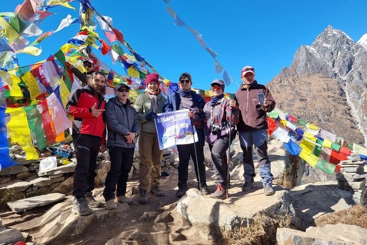
This route threads cultural and geological chapters: Tamang villages reflect Tibetan-Buddhist life, stone mani walls mark sacred routes, and glacial moraines tell of the slow work of ice. Kyanjin Gompa sits high at roughly 3,870 m, an ideal acclimatization hub before the non-technical summit push to Yala Peak (5,520 m). The ascent is steep and exposed at times, alternating packed scree, snowy slopes and short sections where crampons and an ice axe may be used under guidance.
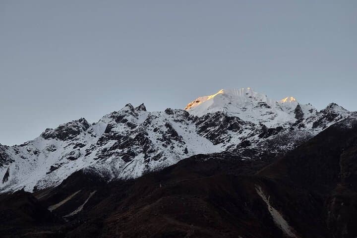
Expect 4–7 hour walking days with one long pre-dawn summit day; teahouse nights supply basic meals and hot water. Weather shifts quickly—clear, crisp mornings can turn to wind-driven clouds by afternoon—and views of Langtang Lirung and neighboring giants reward early starts. Wildlife is discrete: you’re more likely to hear the call of a Himalayan bird than spot large animals, though chiru-like hoofprints and birdlife are common.
Practical edge: prioritize acclimatization days, layer for extremes, and carry a small medical kit including altitude meds. Guides manage permits and route decisions; be ready for simple lodgings, early meals, and a summit rhythm that tests cardio and nerve more than technical climbing ability.
challenging.
10 days.
Good to excellent cardiovascular fitness with experience at sustained uphill hiking; comfortable with multi-day carrying and altitude.
No technical rock-climbing is required, but basic crampon and ice-axe familiarity and comfort on steep, snowy terrain are important.
Trekker permits and Langtang National Park fees are necessary; licensed guides typically handle permit logistics before departure.
Simple shared rooms with basic bedding and communal bathrooms; hot meals are available but bring a small headlamp and cash for extras.
Autumn (Sep–Nov) and spring (Mar–May) offer the most stable weather and best summit visibility; monsoon months bring heavy rain and cloud.
Langtang Valley is home to Tamang communities with Tibetan cultural ties; the valley was significantly affected by the 2015 earthquake and rebuilt with local resilience.
The route sits in Langtang National Park—practice leave-no-trace, avoid single-use plastics when possible, and follow guide instructions to minimize trail erosion.
Peak to Peak Tours and Treks Pvt Ltd operates guided outdoor trips and adventures with an emphasis on safety, stewardship, and memorable experiences.
Morning light spills down the Langtang Valley and the trail hums with the steady crunch of boots on packed earth. Trekkers leave Syabrubesi (≈1,500 m) behind and move through rhododendron and oak, cross suspension bridges, and follow rivers that seem to push them higher.
Morning light spills down the Langtang Valley and the trail hums with the steady crunch of boots on packed earth. Trekkers leave Syabrubesi (≈1,500 m) behind and move through rhododendron and oak, cross suspension bridges, and follow rivers that seem to push them higher.
This route threads cultural and geological chapters: Tamang villages reflect Tibetan-Buddhist life, stone mani walls mark sacred routes, and glacial moraines tell of the slow work of ice. Kyanjin Gompa sits high at roughly 3,870 m, an ideal acclimatization hub before the non-technical summit push to Yala Peak (5,520 m). The ascent is steep and exposed at times, alternating packed scree, snowy slopes and short sections where crampons and an ice axe may be used under guidance.
Expect 4–7 hour walking days with one long pre-dawn summit day; teahouse nights supply basic meals and hot water. Weather shifts quickly—clear, crisp mornings can turn to wind-driven clouds by afternoon—and views of Langtang Lirung and neighboring giants reward early starts. Wildlife is discrete: you’re more likely to hear the call of a Himalayan bird than spot large animals, though chiru-like hoofprints and birdlife are common.
Practical edge: prioritize acclimatization days, layer for extremes, and carry a small medical kit including altitude meds. Guides manage permits and route decisions; be ready for simple lodgings, early meals, and a summit rhythm that tests cardio and nerve more than technical climbing ability.