THE ADVENTURE COLLECTIVE® · Independent discovery and booking for outdoor travel

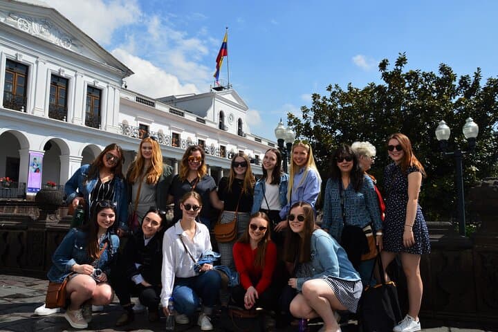
Cross high Andean passes, cloud forest trails and the Napo River in a private 10-day loop from Quito. This trip blends volcano hikes, Amazon canoeing, and indigenous markets with daily guided logistics.
Cross high Andean passes, cloud forest trails and the Napo River in a private 10-day loop from Quito. This trip blends volcano hikes, Amazon canoeing, and indigenous markets with daily guided logistics.
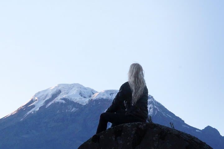
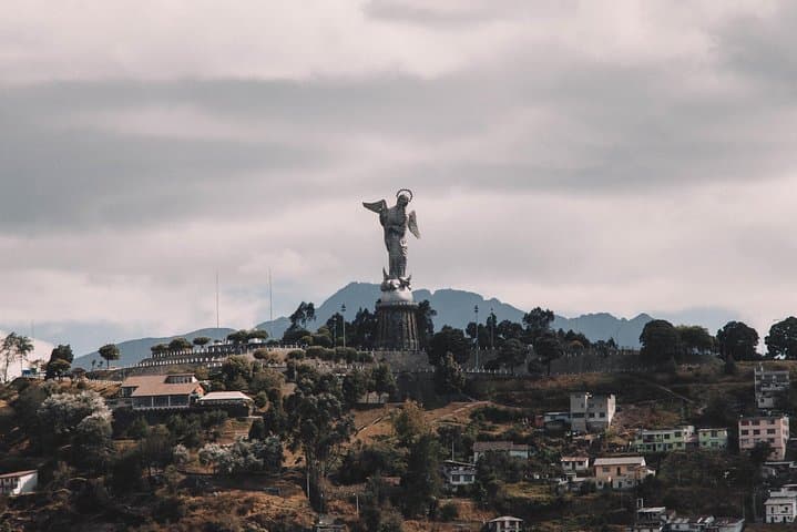
You step off the plane into thin, clear air and Quito’s ring of volcanoes presses close — Cotopaxi and the others keeping watch as you sort gear and expectations.
Verified experiences and guided adventures in the surrounding area.
Operated by Ecuatraveling · Quito, Pichincha
You step off the plane into thin, clear air and Quito’s ring of volcanoes presses close — Cotopaxi and the others keeping watch as you sort gear and expectations.
Over ten days this private itinerary threads the Avenue of Volcanoes, the high paramo, cloud forest, and the lowland Amazon, moving from Quito (2,850 m) down to the Napo basin (~500 m) and back up to Chimborazo’s base. History and geology sit side-by-side: Cañari and Inca stonework at Ingapirca, colonial streets in Cuenca, and the volcanic shoulders that shaped valleys and river routes. The Chimborazo massif, at 6,310 m, is the world’s farthest point from Earth’s center; the paramo above 4,000 m hosts tough grasses and roaming vicuñas.
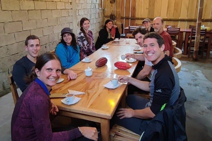
Culture arrives in markets and villages: Otavalo’s textiles and Ahuano’s riverside pottery workshops let local craftspeople explain technique and livelihood. In the cloud forest around Mindo, moss and bromeliads clutch trunks as hummingbirds and tanagers dart; in the Amazon, the Napo pushes you along clay licks and canopy life.
Practical guidance: expect dramatic microclimates — pack layers for nights near 4,000 m and lightweight, quick-dry clothing for the Amazon. Trails range from paved viewpoints to muddy forest paths; a guided 5,000 m approach to Chimborazo requires steady pacing and acclimatization. Stay hydrated, monitor for altitude symptoms, and carry insect repellent for lowland excursions. Footwear with good grip, a sturdy daypack, and rain protection will serve across cloud forest hikes, river canoeing, and cultural stops. Time your photography for early mornings in mist and late afternoons when waterfalls and volcano flanks catch side light.
challenging.
10 days.
Requires moderate to high fitness for multi-day travel and high-altitude hikes; ability to hike several hours with elevation change.
Most sites visited on this itinerary are accessible with park fees covered locally; your guide handles reservations and entry where required.
Acclimatize gradually, hydrate, avoid alcohol, and communicate symptoms to your guide—descending is the most effective treatment.
The tour includes breakfasts, several lunches and dinners, and accommodations as listed (hotels and eco-lodges); specific inclusions are confirmed at booking.
Yes — it’s offered as a private tour with a certified guide, but travelers should be comfortable with multi-day group logistics and variable terrain.
The route crosses Cañari-Inca sites like Ingapirca and follows valleys carved by volcanic activity; the Avenue of Volcanoes has guided human settlement and trade for centuries.
Support local guides and lodges that practice sustainable tourism; avoid single-use plastics, stay on trails, and respect wildlife distance to reduce impact.
Ecuatraveling operates guided outdoor trips and adventures with an emphasis on safety, stewardship, and memorable experiences.
You step off the plane into thin, clear air and Quito’s ring of volcanoes presses close — Cotopaxi and the others keeping watch as you sort gear and expectations.
You step off the plane into thin, clear air and Quito’s ring of volcanoes presses close — Cotopaxi and the others keeping watch as you sort gear and expectations.
Over ten days this private itinerary threads the Avenue of Volcanoes, the high paramo, cloud forest, and the lowland Amazon, moving from Quito (2,850 m) down to the Napo basin (~500 m) and back up to Chimborazo’s base. History and geology sit side-by-side: Cañari and Inca stonework at Ingapirca, colonial streets in Cuenca, and the volcanic shoulders that shaped valleys and river routes. The Chimborazo massif, at 6,310 m, is the world’s farthest point from Earth’s center; the paramo above 4,000 m hosts tough grasses and roaming vicuñas.
Culture arrives in markets and villages: Otavalo’s textiles and Ahuano’s riverside pottery workshops let local craftspeople explain technique and livelihood. In the cloud forest around Mindo, moss and bromeliads clutch trunks as hummingbirds and tanagers dart; in the Amazon, the Napo pushes you along clay licks and canopy life.
Practical guidance: expect dramatic microclimates — pack layers for nights near 4,000 m and lightweight, quick-dry clothing for the Amazon. Trails range from paved viewpoints to muddy forest paths; a guided 5,000 m approach to Chimborazo requires steady pacing and acclimatization. Stay hydrated, monitor for altitude symptoms, and carry insect repellent for lowland excursions. Footwear with good grip, a sturdy daypack, and rain protection will serve across cloud forest hikes, river canoeing, and cultural stops. Time your photography for early mornings in mist and late afternoons when waterfalls and volcano flanks catch side light.